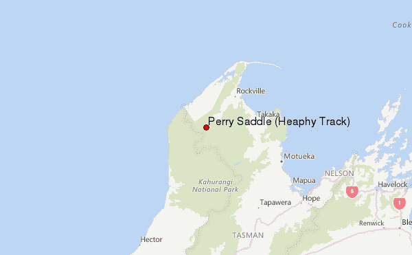
– Lat/Long: 40.90° S 172.40° E
 Perry Saddle (Heaphy Track) – Climbing, Hiking & Mountaineering information

Perry Saddle (Heaphy Track) Guide
- Elevation: 880
- Difficulty: -
- Best months to climb: -
- Convenient center: Collingwood
Perry Saddle (Heaphy Track) climbers NotesBe the first to submit your climbers note! Please submit any useful information about climbing Perry Saddle (Heaphy Track) that may be useful to other climbers. Consider things such as access and accommodation at the base of Perry Saddle (Heaphy Track), as well as the logistics of climbing to the summit. |
| Select a
mountain summit from the menu |
||
|
Select a Mountain Summit
|
||
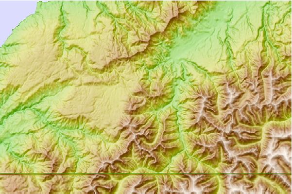
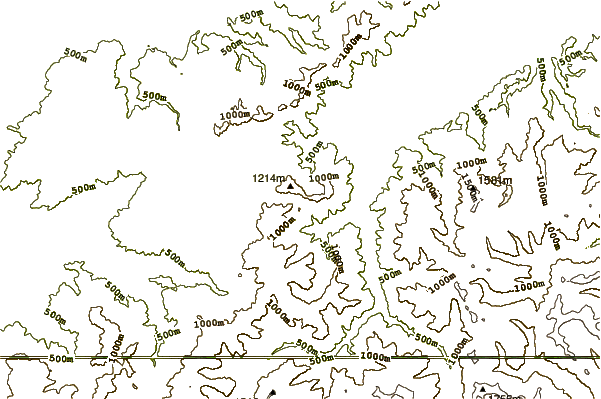
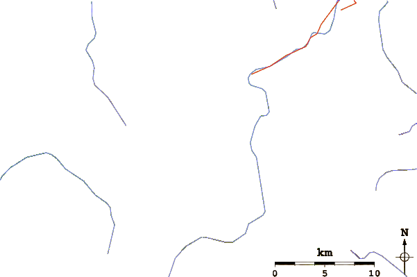
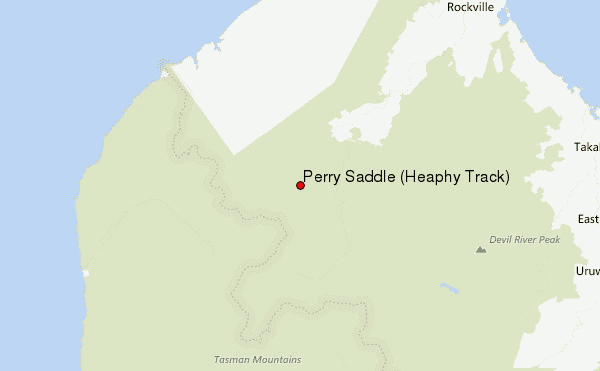
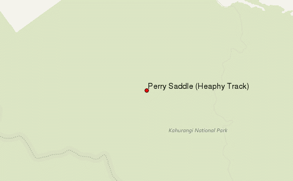
Use this relief map to navigate to mountain peaks in the area of Perry Saddle (Heaphy Track).
10 other mountain peaks closest to Perry Saddle (Heaphy Track):
| 1. | Perry Saddle Hut (889 m) | 0.2 km |
| 2. | Gouland Downs Hut (622 m) | 4.5 km |
| 3. | Saxon Hut (706 m) | 8.3 km |
| 4. | Mount Stevens (1213 m) | 12.3 km |
| 5. | Adelaide Tarn Hut (1259 m) | 12.6 km |
| 6. | Boulder Lake Hut (997 m) | 14.6 km |
| 7. | Ministry Of Works Historic Hut (819 m) | 15.2 km |
| 8. | Lonely Lake Hut (1269 m) | 15.8 km |
| 9. | James Mackay Hut (700 m) | 15.9 km |
| 10. | Anatoki Forks Hut (626 m) | 17.6 km |