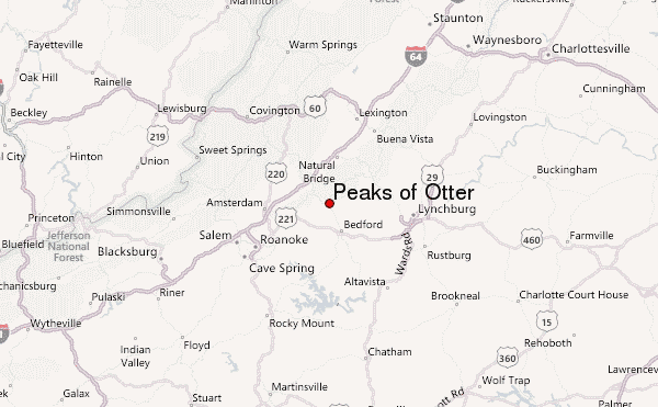
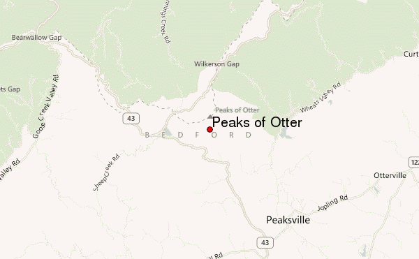
– Lat/Long: 37.45° N 79.58° W
 Peaks of Otter – Climbing, Hiking & Mountaineering information

Peaks of Otter Guide


- Elevation: 1217
- Difficulty: -
- Best months to climb: -
- Convenient center: -
Peaks of Otter climbers NotesBe the first to submit your climbers note! Please submit any useful information about climbing Peaks of Otter that may be useful to other climbers. Consider things such as access and accommodation at the base of Peaks of Otter, as well as the logistics of climbing to the summit. |
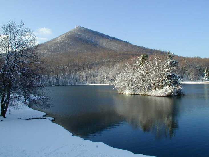
Latest Gallery Images for Peaks of Otter


| Select a
mountain summit from the menu |
||
|
Select a Mountain Summit
|
||
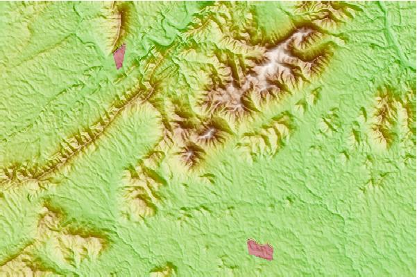
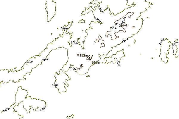
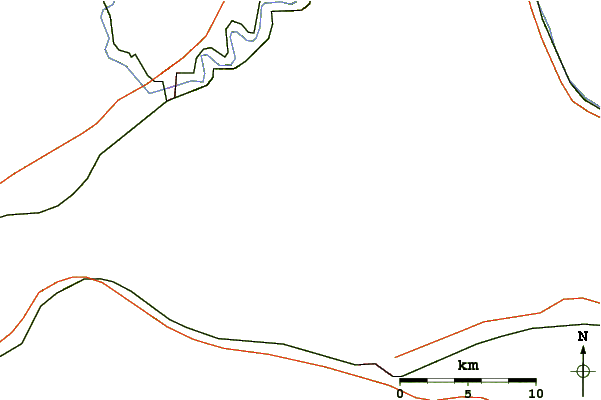
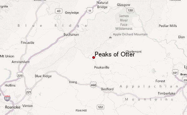
Use this relief map to navigate to mountain peaks in the area of Peaks of Otter.
10 other mountain peaks closest to Peaks of Otter:
| 1. | Apple Orchard Mountain (1288 m) | 10.7 km |
| 2. | Twelve O'clock Knob (Roanoke County, Virginia) (814 m) | 49.4 km |
| 3. | Rocky Mountain (Rockbridge County, Virginia) (1241 m) | 52.6 km |
| 4. | Fort Lewis Mountain (994 m) | 53.2 km |
| 5. | Elk Pond Mountain (1230 m) | 55.0 km |
| 6. | Maintop Mountain (1235 m) | 59.0 km |
| 7. | Poor Mountain (1197 m) | 59.2 km |
| 8. | The Priest (1238 m) | 61.9 km |
| 9. | Salt Pond Mountain (1329 m) | 80.6 km |
| 10. | Collier Mountain (444 m) | 82.8 km |
