– Lat/Long: 37.12° N 139.97° E
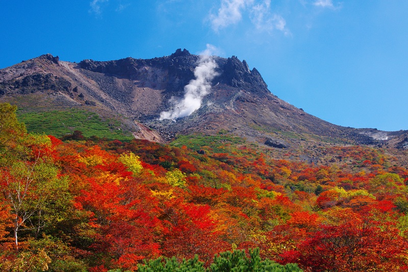
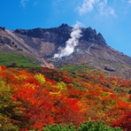
 Nasu – Climbing, Hiking & Mountaineering information

Nasu Guide
- Elevation: 1917
- Difficulty: -
- Best months to climb: -
- Convenient center: -
Nasu climbers NotesBe the first to submit your climbers note! Please submit any useful information about climbing Nasu that may be useful to other climbers. Consider things such as access and accommodation at the base of Nasu, as well as the logistics of climbing to the summit. |
| Select a
mountain summit from the menu |
||
|
Select a Mountain Summit
|
||
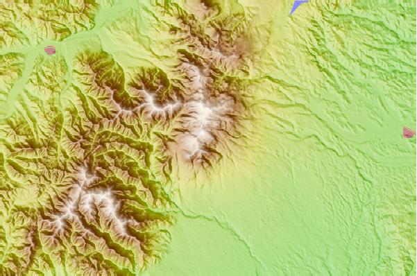
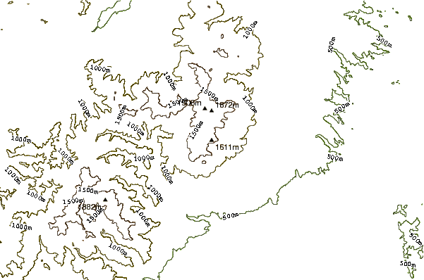
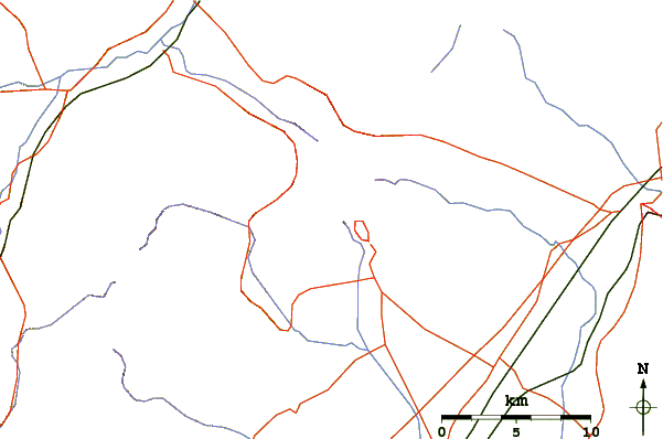
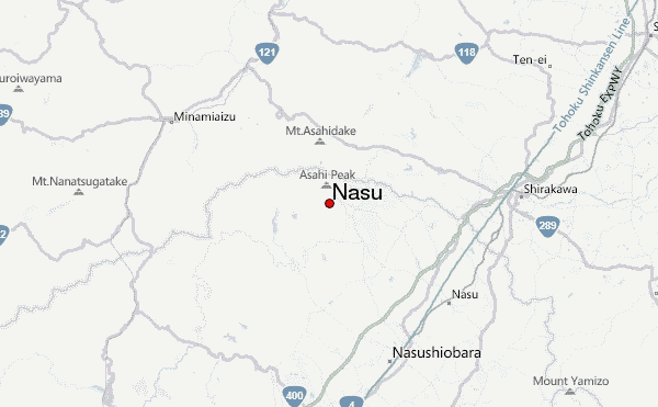
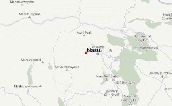
Use this relief map to navigate to mountain peaks in the area of Nasu.
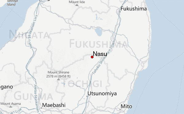
10 other mountain peaks closest to Nasu:
| 1. | 庚申山荘 (1473 m) | 2.9 km |
| 2. | 国民宿舎かじか荘 (1460 m) | 3.0 km |
| 3. | Takahara (1795 m) | 29.7 km |
| 4. | Numazawa (1100 m) | 48.8 km |
| 5. | Mount Bandai or Bandai San ( 磐梯山) (1819 m) | 54.3 km |
| 6. | Mount Nekomadake (1404 m) | 55.0 km |
| 7. | 温泉小屋 (2046 m) | 55.5 km |
| 8. | Omanago Group (2375 m) | 56.4 km |
| 9. | Nantai (2484 m) | 57.1 km |
| 10. | 燧小屋 (1502 m) | 61.0 km |