– Lat/Long: 16.53° S 67.83° W
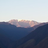
 Mururata
Weather Forecast, BoliviaIssued: 7 pm Sun 02 Aug Local TimeUpdates in: hr min sUpdate imminent
Issued: 7 pm Sun 02 Aug Local Time
Updates in:
Update imminent hr min s

Issued: 7 pm Sun 02 Aug Local Time
Updates in:
Update imminent hr min s
Days 1–4 Weather SummaryMostly dry. Freeze-thaw conditions (max 1°C on Mon afternoon, min -4°C on Sun night). Wind will be generally light. | Days 5–7 Weather SummaryMostly dry. Freeze-thaw conditions (max 4°C on Fri afternoon, min -2°C on Wed night). Wind will be generally light. | ||||||||||||||||||
Monday 3 | Tuesday 4 | Wednesday 5 | Thursday 6 | Friday 7 | Saturday 8 | ||||||||||||||
night | AM | PM | night | AM | PM | night | AM | PM | night | AM | PM | night | AM | PM | night | AM | PM | night | |
clear | clear | some clouds | clear | clear | some clouds | clear | clear | some clouds | clear | clear | some clouds | clear | clear | risk tstorm | clear | clear | risk tstorm | clear | |
Cloud base (m) | 4000 | 3500 | 3450 | 3300 | 3700 | 3750 | 3350 | ||||||||||||
km/h | |||||||||||||||||||
 |  |  |  |  |  |  | |||||||||||||
— | — | — | — | — | — | — | — | — | — | — | — | — | — | — | — | — | — | — | |
mm | — | — | — | — | — | — | — | — | — | — | — | — | — | — | 0.4 | — | — | 0.2 | — |
max °C | -3 | 0 | 1 | -2 | 0 | 1 | -2 | 0 | 1 | -1 | 2 | 3 | 0 | 3 | 4 | 0 | 3 | 3 | 0 |
min °C | -4 | -2 | 0 | -3 | -2 | 0 | -3 | -2 | 0 | -2 | -1 | 2 | 0 | 0 | 2 | -1 | 0 | 2 | -1 |
chill °C | -10 | -8 | -4 | -8 | -7 | -4 | -9 | -8 | -5 | -8 | -5 | 0 | -3 | -2 | 0 | -6 | -5 | -3 | -6 |
Freezing level m | 4550 | 5050 | 5050 | 4550 | 5050 | 5050 | 4600 | 5050 | 5000 | 4700 | 5300 | 5300 | 5000 | 5450 | 5300 | 4950 | 5350 | 5250 | 4850 |
— | 6:54 | — | — | 6:54 | — | — | 6:54 | — | — | 6:52 | — | — | 6:52 | — | — | 6:52 | — | — | |
— | — | 6:19 | — | — | 6:20 | — | — | 6:20 | — | — | 6:20 | — | — | 6:20 | — | — | 6:21 | — | |
Loading...
Mururata Weather (Days 0-3):
The weather forecast for Mururata is: Mostly dry. Freeze-thaw conditions (max 1°C on Mon afternoon, min -4°C on Sun night). Wind will be generally light.
Mururata Weather (Days 3-6):
Mostly dry. Freeze-thaw conditions (max 4°C on Fri afternoon, min -2°C on Wed night). Wind will be generally light.
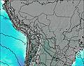
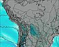
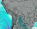
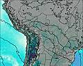
This table gives the weather forecast for Mururata at the specific elevation of 5000 m. Our advanced weather models allow us to provide distinct weather forecasts for several elevations of Mururata. To see the weather forecasts for the other elevations, use the tab navigation above the table. For a wider overview of the weather, consult the Weather Map of Bolivia.
| Weather Station | Temp. | Weather | Wind | Gusts | Cloud / Visibility |
|---|---|---|---|---|---|
Cochabamb / orge Wilsterman Airport | |||||
Putre | |||||
Aric / hacalluta Airport | |||||
Arica | |||||
Defensa Civil- Arica | |||||
Arequip / odriguez Ballon Airport |
* NOTE: not all weather observatories update at the same frequency which is the reason why some locations may show data from stations that are further away than known closer ones.
Mururata Photos
View all
Bolivian Andes photos (99) |
Andes photos (1029) |
photos from mountains in Bolivia (86) |
all photos
 Upload new photo
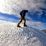
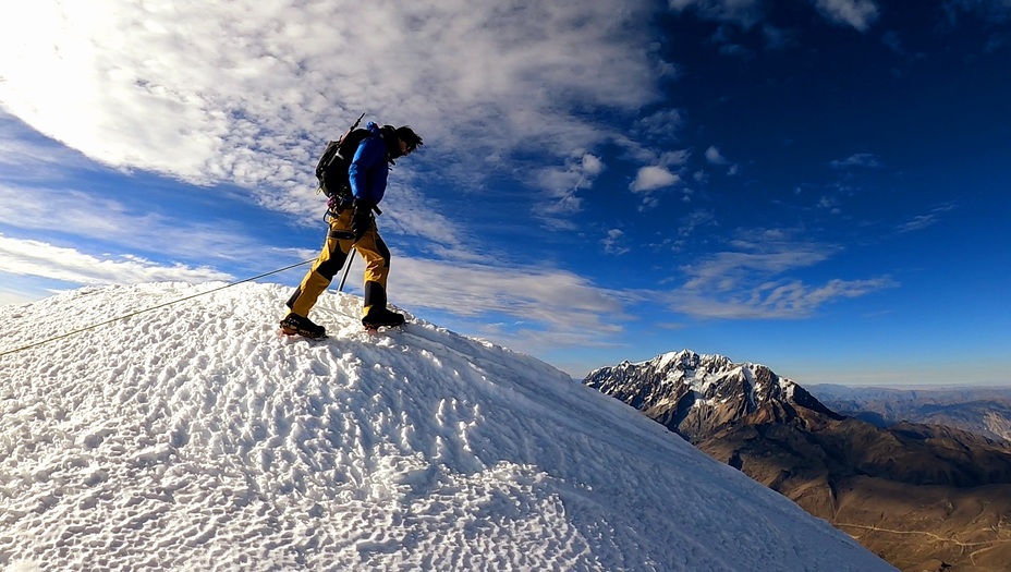
Mururata
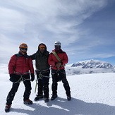
Junto a los amigos en la cima Mururata
Junto a los amigos en la cima Mururata
Junto a los amigos en la cima Mururata
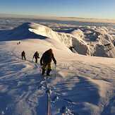
Mururata