Ken. from UNITED KINGDOM writes:
I climbed Mt.Usborne on Monday 27.02.17, on a glorious, really warm day. You really need to check the forecast as the weather can change very quickly. You also need to be fairly fit!
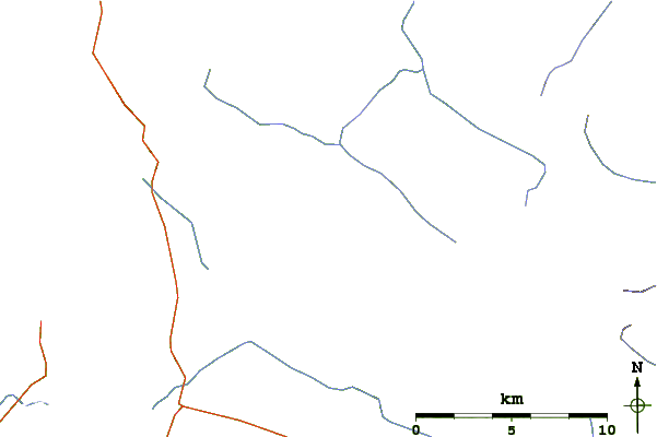
I left Stanley at 0800 and only returned at 1945 - so it is quite a long day, though, with permission, it can be shortened.
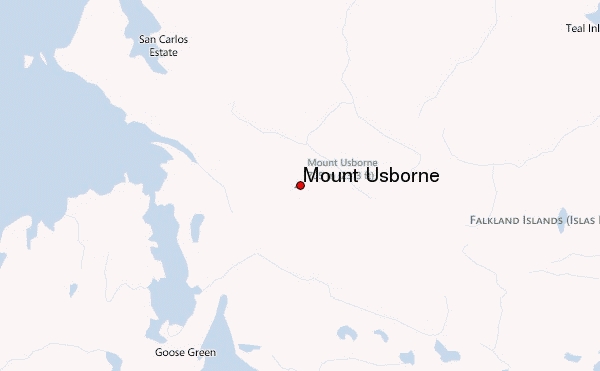
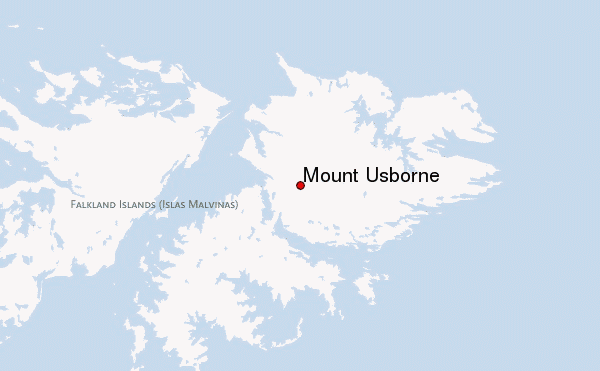
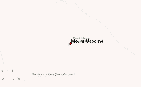
Take the road to MPA, then continue towards Darwin, but turn right, a little before Darwin, heading for San Carlos. Continue along this road for around 5km, when you will find a wide (10/15m) sort of rotorvated route across the 'moor' on your right. As this is private land, I parked just off the main road, but with permission, you can, if the weather is dry, drive along this rotorvated route for around 5km, thus saving much time. The owner is Goose Green Farm, but I didn't have their email address.
This initial route, heading more or less for the middle of the flat top of Usborne, is quite undulating, but easy going, passing a pond on the left, and will lead you to a fence-line, where there is a gate. The rotorvated route ends here. You can see the route to here on Google Earth.
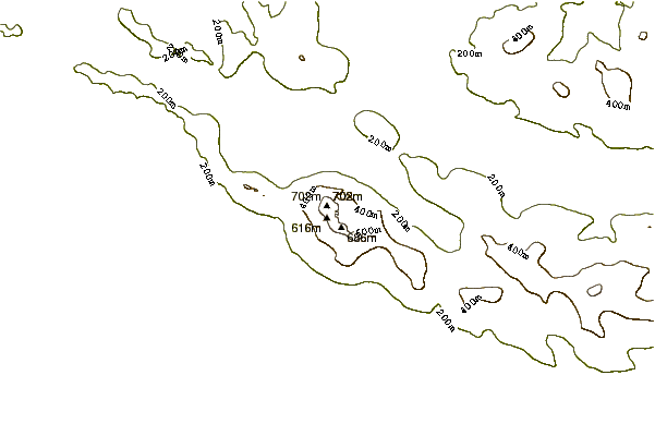
Continue through the gate, soon veering slightly left, and later even more left, along a single 4x4 track, apparently heading along the base of the mountains. As I felt this was not quite the right direction, I turned off 45 degrees to the right when the track took a further turn to the left. I was then heading towards the saddle between Usborne summit on the right, and the next mountain on the left. You will find this part of the route is very uneven underfoot, and you need to take it relatively slowly for fear of twisting your ankle. Ahead of me, at about 1.5km was a junction of 3 fences, with a square wooden arch over a gate - aim for this point, then carefully climb the fence. From here, head generally in the direction of the middle of the flat table-top of Usborne, picking the easiest route between/over the stone runs, but watch your footing when crossing the stone runs. You are now climbing gently at first, though the gradient gets steeper as you get higher. Near the top, I actually saw a small group of goats, the first I have ever seen in the Falklands!
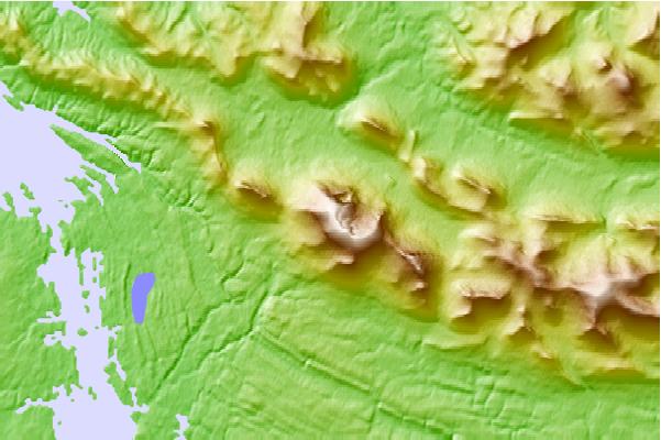
Once on the top, turn left to the actual summit, where there is a cairn with a pole (old exhaust pipe) in it, and a 'visitors book' in an old ammo box. I was surprised this was the highest point, as the other end of the 'table' looks noticeably higher, though this must just be an optical illusion. On a good day, the views are stunning, and don't forget to look over the other side at the tarns in their rock 'cirques'.
This route up, at roughly 11.2kms, took me 4 hours, and the return, roughly the same way, 3 hours. I found that coming down, it was easier to pick the best route between the stone runs.
If you have the time, and wish to see a fine example of the C19th stone corrals (for herding the wild cattle of the time), proceed to the gate at the end of the rotorvated route, then head east along the fence line for a few hundred metres, until you drop down into a shallow valley with a stream in the bottom (you can cross an old rickety bridge here). Opposite, on the other side, is a narrow rocky valley, and just inside this valley, on the right, is the corral, built against the rocky side.
If you get permission, and are able to drive along this first bit of the route, you should have plenty of time for this diversion. Anyway, good luck. Let me know how you get on.
2017-03-09 |
 Mount Usborne – Climbing, Hiking & Mountaineering information