– Lat/Long: 52.00° S 70.00° W
 Pali-Aike Volcanic Field – Climbing, Hiking & Mountaineering information

Pali-Aike Volcanic Field Guide
- Elevation: 282
- Difficulty: -
- Best months to climb: -
- Convenient center: -
Pali-Aike Volcanic Field climbers NotesBe the first to submit your climbers note! Please submit any useful information about climbing Pali-Aike Volcanic Field that may be useful to other climbers. Consider things such as access and accommodation at the base of Pali-Aike Volcanic Field, as well as the logistics of climbing to the summit. |
| Select a
mountain summit from the menu |
||
|
Select a Mountain Summit
|
||
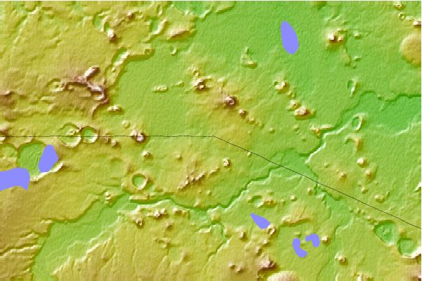
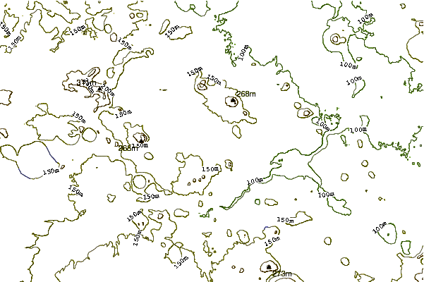
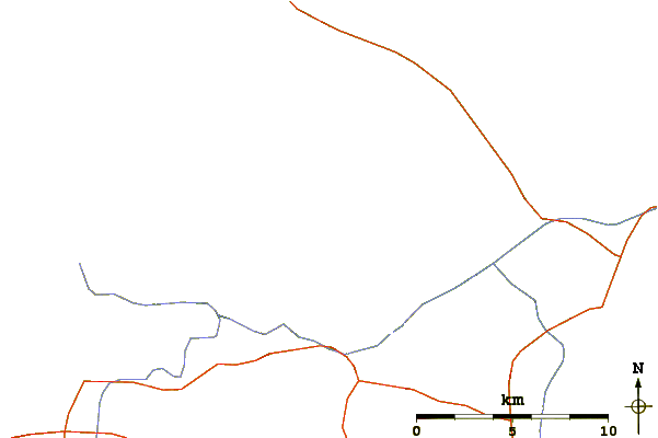
Use this relief map to navigate to mountain peaks in the area of Pali-Aike Volcanic Field.
10 other mountain peaks closest to Pali-Aike Volcanic Field:
| 1. | Cerro Castillo Dynevor (1100 m) | 177.9 km |
| 2. | Cerro Ladrillero (1700 m) | 204.5 km |
| 3. | Mount Tarn (825 m) | 210.2 km |
| 4. | Monte Balmaceda (2035 m) | 228.9 km |
| 5. | Torre Sur (2501 m) | 234.6 km |
| 6. | Monte Burney (1758 m) | 235.0 km |
| 7. | Torre Central (2460 m) | 238.4 km |
| 8. | Paine Grande (3050 m) | 241.6 km |
| 9. | Monte Buckland (1746 m) | 265.6 km |
| 10. | Reclus (volcano) (1000 m) | 273.9 km |