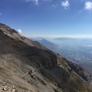
– Lat/Long: 40.40° N 111.63° W

UsMount Timpanogos – Climbing, Hiking & Mountaineering information

Placeholder

Mount Timpanogos mountain guide

Mount Timp hike, Mount Timpanogos photo

Mount Timpanogos

Photo credit: Bambi

Mount Timpanogos photo

Mount Timpanogos

Photo credit:

Snowy Timpanogos, Mount Timpanogos photo

Mount Timpanogos

Photo credit: Abby Wilson

No Trail Timpanogos, Mount Timpanogos photo

Mount Timpanogos

Photo credit: German Delgado Arrufat

  • Elevation: 3581 m
  • Difficulty: Walk up
  • Best months to climb: June, July, August, September
  • Convenient center: Provo, UT

Mount Timpanogos Climbing Notes

Melissa DeGuire from UNITED STATES writes:

The cost to get into the canyon is $6 for the day. Even if you drive up at 3am before the ticket booth opens, you need to have cash or a check to leave in an envelope at the parking lot and put a ticket in your car window that says you paid the fee.

2013-02-22

Click here to submit your own climbing note for Mount Timpanogos

Mount Timpanogos Location Map

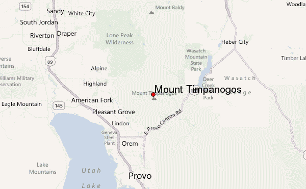
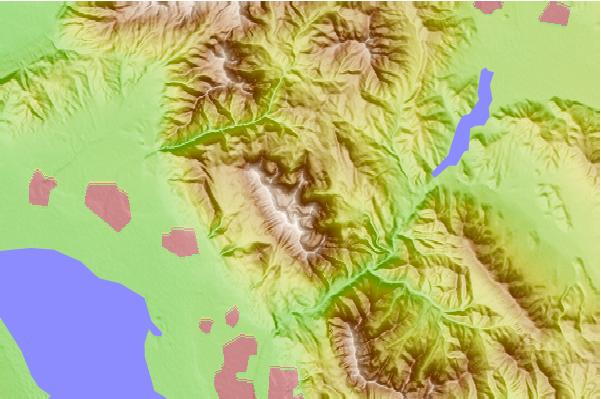
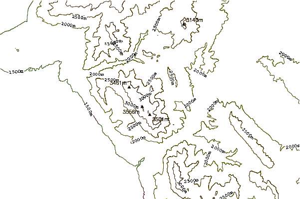
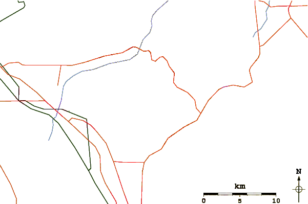
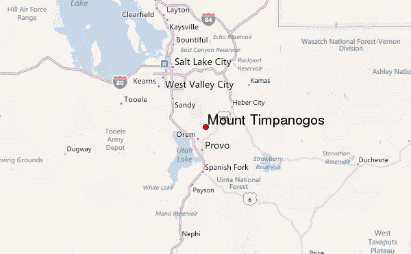
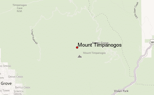
Select Mount Timpanogos Location Map Detail:


Latest Gallery Images for Mount Timpanogos

visit the
gallery
or click to view
Western Slope from Main Trail

Upload your photo of Mount Timpanogos

Select a mountain summit from the menu
Select a Mountain Summit
Surf breaks located close to Mount Timpanogos Mountain peaks around Mount Timpanogos Roads and rivers around Mount Timpanogos

Use this relief map to navigate to mountain peaks in the area of Mount Timpanogos.

10 other mountain peaks closest to Mount Timpanogos:

1. White Baldy (3451 m) 15.4 km
2. Pfeifferhorn (3452 m) 15.9 km
3. Y Mountain (2597 m) 16.1 km
4. Lone Peak (3430 m) 17.5 km
5. Mount Wolverine (3290 m) 20.8 km
6. Sundial Peak (3146 m) 22.5 km
7. Twin Peaks (Utah) (3453 m) 22.8 km
8. Lake Mountain (Utah) (2330 m) 28.9 km
9. Mount Olympus (2751 m) 30.0 km
10. West Mountain (Utah) (2074 m) 38.2 km