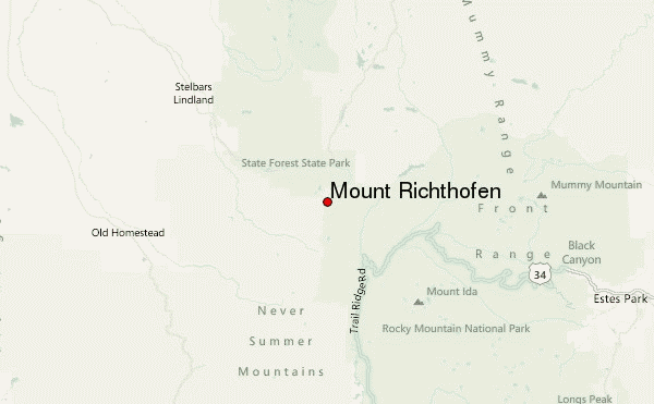
– Lat/Long: 40.47° N 105.89° W
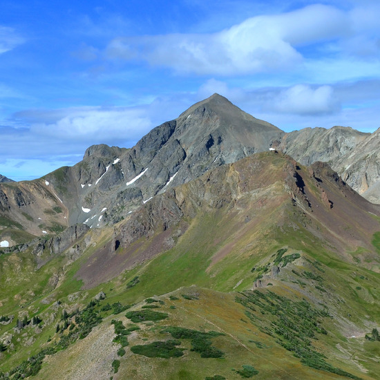
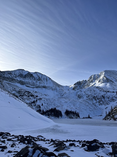
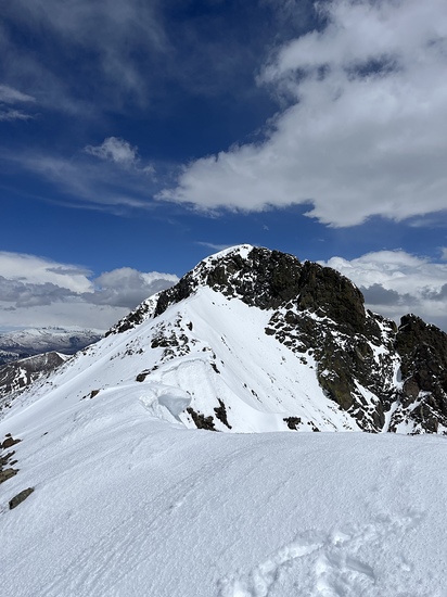
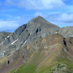
 Mount Richthofen – Climbing, Hiking & Mountaineering information

Mount Richthofen Guide
- Elevation: 3947
- Difficulty: Scramble
- Best months to climb: May, June, July, August, September
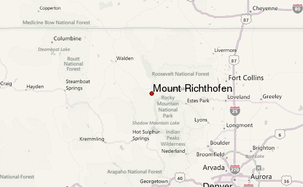
- Convenient center: Walden
Mount Richthofen climbers NotesBe the first to submit your climbers note! Please submit any useful information about climbing Mount Richthofen that may be useful to other climbers. Consider things such as access and accommodation at the base of Mount Richthofen, as well as the logistics of climbing to the summit. |
| Select a
mountain summit from the menu |
||
|
Select a Mountain Summit
|
||
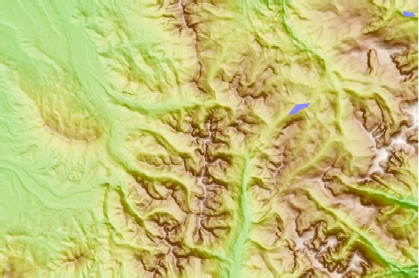
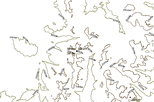
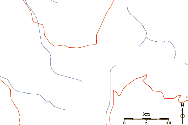
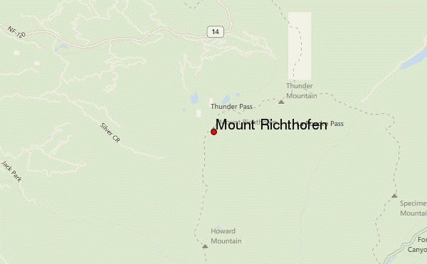
Use this relief map to navigate to mountain peaks in the area of Mount Richthofen.
10 other mountain peaks closest to Mount Richthofen:
| 1. | Static Peak (Colorado) (3832 m) | 0.9 km |
| 2. | Nokhu Crags (3805 m) | 2.0 km |
| 3. | Braddock Peak (Never Summer Range) (3649 m) | 2.0 km |
| 4. | Agnes Creek Cabin (3048 m) | 2.7 km |
| 5. | Nokhu Hut (3048 m) | 2.7 km |
| 6. | Seven Utes Mountain (Never Summer Range) (3477 m) | 3.6 km |
| 7. | Lower Montgomery Pass Yurt (2926 m) | 10.7 km |
| 8. | Upper Montgomery Pass Yurt (2926 m) | 10.7 km |
| 9. | Grass Creek Yurt (2773 m) | 11.7 km |
| 10. | Dancing Moose Yurt (2743 m) | 13.4 km |