– Lat/Long: 16.51° N 120.84° E
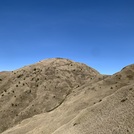
 Mount Pulag – Climbing, Hiking & Mountaineering information

Mount Pulag Guide
- Elevation: 2922
- Difficulty: Walk up
- Best months to climb: January, February, March, April, May, June, November, December
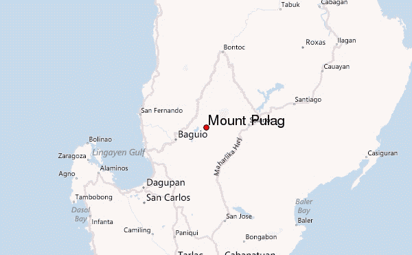
- Convenient center: Baguio and Ambangeg, Benguet
Mount Pulag climbers Notes
Click here to read 7 more climbing notes for Mount Pulag or submit your own |
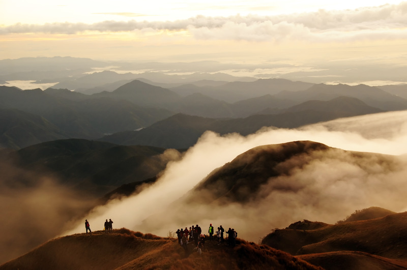
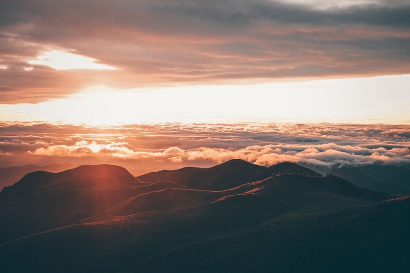
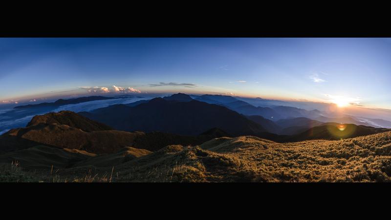
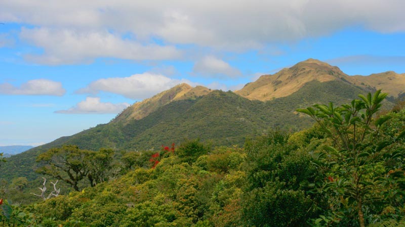
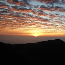
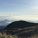
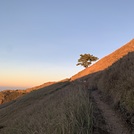
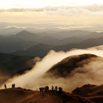
Latest Gallery Images for Mount Pulag
| Select a
mountain summit from the menu |
||
|
Select a Mountain Summit
|
||
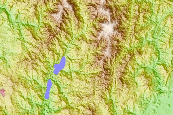
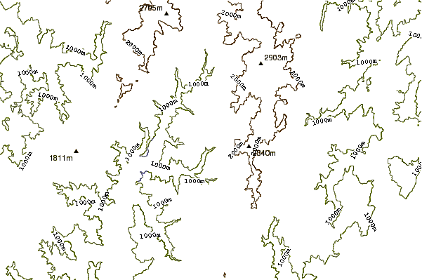
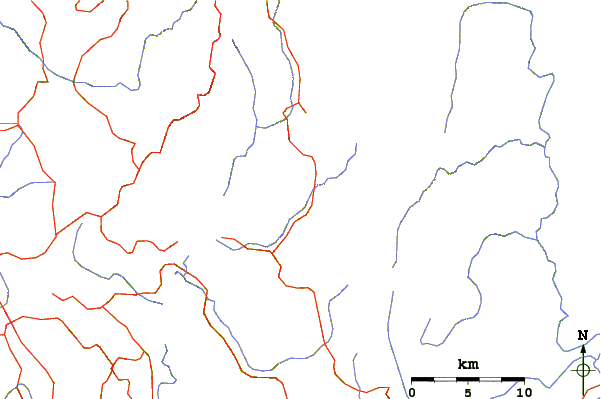
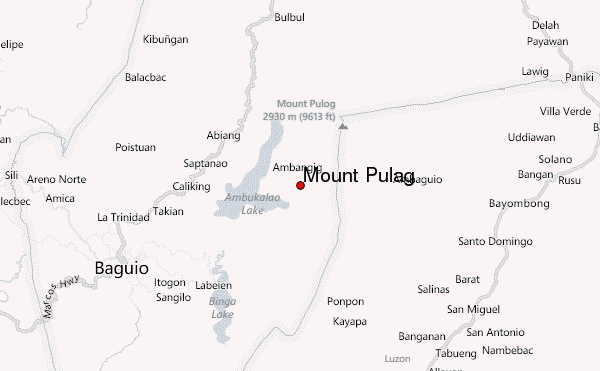
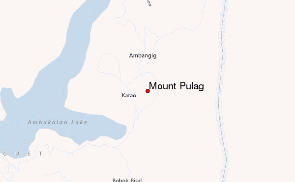
Use this relief map to navigate to mountain peaks in the area of Mount Pulag.
10 other mountain peaks closest to Mount Pulag:
| 1. | Mount Santo Tomas (1388 m) | 9.4 km |
| 2. | Santo Tomas (2260 m) | 36.8 km |
| 3. | Patoc (1865 m) | 72.5 km |
| 4. | Mount Bintuod (1935 m) | 73.5 km |
| 5. | Sleeping Beauty Mountain, Kalinga (1906 m) | 91.4 km |
| 6. | Binuluan (2329 m) | 92.8 km |
| 7. | Binubulauan (2329 m) | 93.5 km |
| 8. | Mount Tapulao (2037 m) | 137.9 km |
| 9. | Arayat (1026 m) | 146.2 km |
| 10. | Mount Arayat (1026 m) | 146.2 km |