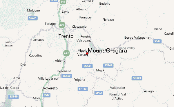
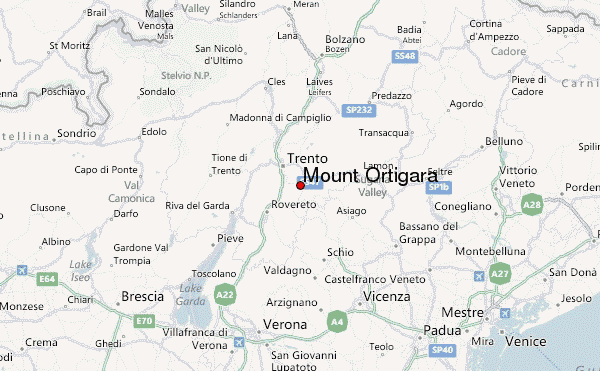
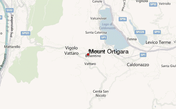
– Lat/Long: 46.00° N 11.22° E
 Mount Ortigara – Climbing, Hiking & Mountaineering information

Mount Ortigara Guide
- Elevation: 2105
- Difficulty: -
- Best months to climb: -
- Convenient center: -
Mount Ortigara climbers NotesBe the first to submit your climbers note! Please submit any useful information about climbing Mount Ortigara that may be useful to other climbers. Consider things such as access and accommodation at the base of Mount Ortigara, as well as the logistics of climbing to the summit. |
| Select a
mountain summit from the menu |
||
|
Select a Mountain Summit
|
||
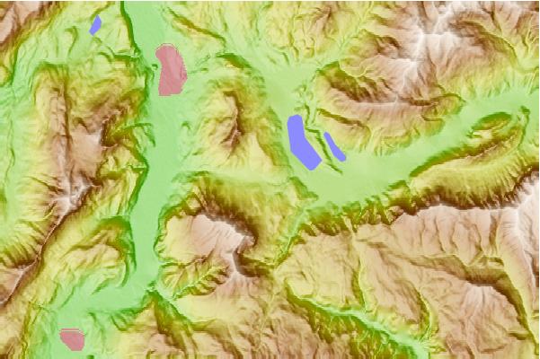
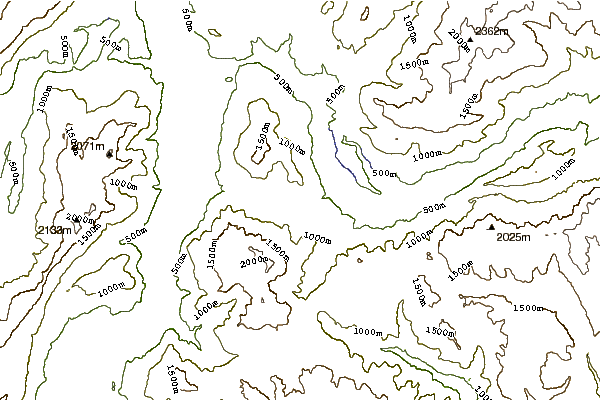
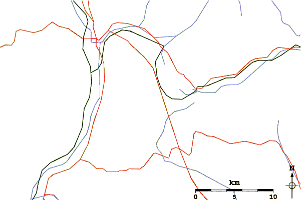
Use this relief map to navigate to mountain peaks in the area of Mount Ortigara.
10 other mountain peaks closest to Mount Ortigara:
| 1. | Rifugio Paludei (1059 m) | 3.3 km |
| 2. | Bivacco Bailoni Raffaele (1632 m) | 3.8 km |
| 3. | Bivacco Vigolana Alla Madonnina - Giacomelli G.b. (2030 m) | 4.0 km |
| 4. | Rifugio Casarota/ciola Livio (1572 m) | 5.4 km |
| 5. | Capanna Baita Belem (1420 m) | 6.3 km |
| 6. | Rifugio Prati Pino Ai Bindesi (611 m) | 6.3 km |
| 7. | Bike Park Lavarone (1375 m) | 6.9 km |
| 8. | Capanna Baita del Cangi (1370 m) | 8.0 km |
| 9. | Capanna Baita S.a.t. in Bondone (1650 m) | 11.7 km |
| 10. | Cima Palon (2239 m) | 12.6 km |