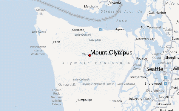
– Lat/Long: 47.80° N 123.71° W
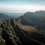
 Mount Olympus – Climbing, Hiking & Mountaineering information

Mount Olympus Guide
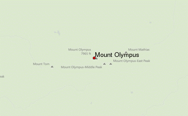
- Elevation: 2427
- Difficulty: Basic Snow and Ice Climb
- Best months to climb: June, July, August, September
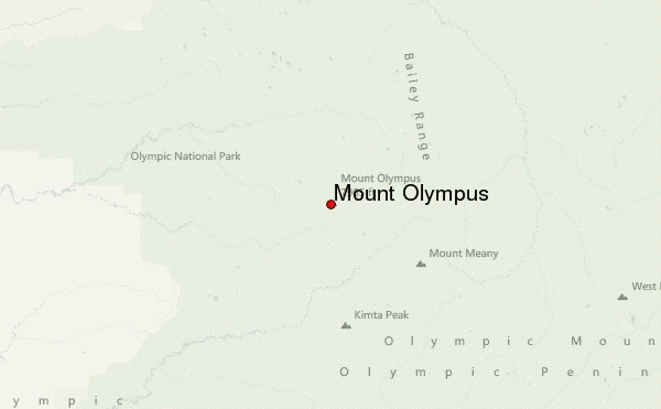
- Convenient center: Port Angeles, Washington
Mount Olympus climbers Notes
Click here to submit your own climbing note for Mount Olympus |
| Select a
mountain summit from the menu |
||
|
Select a Mountain Summit
|
||
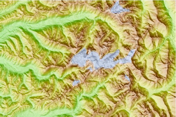
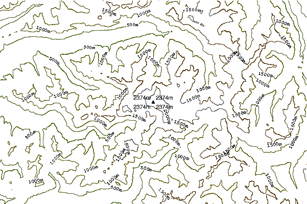
Use this relief map to navigate to mountain peaks in the area of Mount Olympus.
10 other mountain peaks closest to Mount Olympus:
| 1. | Mount Tom (Washington) (2157 m) | 3.6 km |
| 2. | Mt Pulitzer (1915 m) | 11.3 km |
| 3. | Mt Carrie (2132 m) | 11.4 km |
| 4. | Bogachiel Peak (1668 m) | 12.6 km |
| 5. | Mount Dana (Washington) (1893 m) | 16.9 km |
| 6. | Mount Christie (Washington) (1883 m) | 17.0 km |
| 7. | Boulder Peak (Washington) (1729 m) | 19.3 km |
| 8. | Boulder Mountain (Washington) (1707 m) | 19.3 km |
| 9. | Mccartney Peak (2068 m) | 24.9 km |
| 10. | Aurora Ridge (1402 m) | 27.4 km |