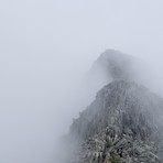
Mount Katahdin Guide
- Elevation: 1606
- Difficulty: Walk up
- Best months to climb: June, July, August, September
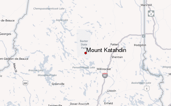
- Convenient center: Millinocket, Maine
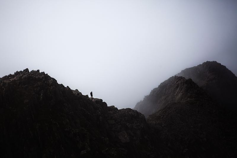
Mount Katahdin climbers Notes
Seanclimbs from UNITED STATES writes:
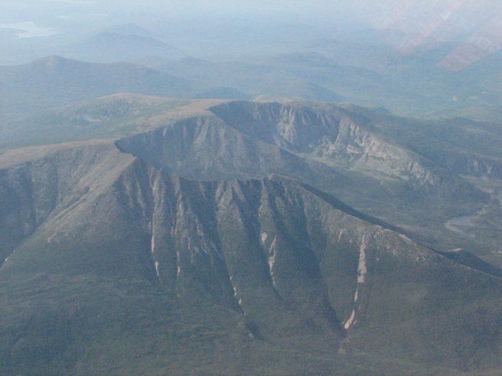
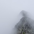
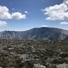
No matter which route you take there will be mild to moderate rock scrambling. Very rewarding climb with views as far as New Hampshire on the clearest days.
Poles, headlamp and plenty of water are recommended.
Permit is required to enter the area and summit Katahdin. Permits and more information can be obtained through Baxter state park website.
2026-07-02 |
Click here to read 1 more climbing note for Mount Katahdin or submit your own
|
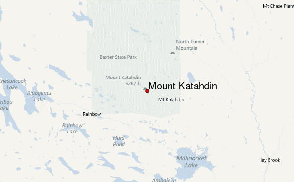
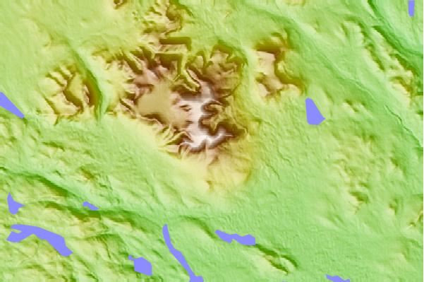
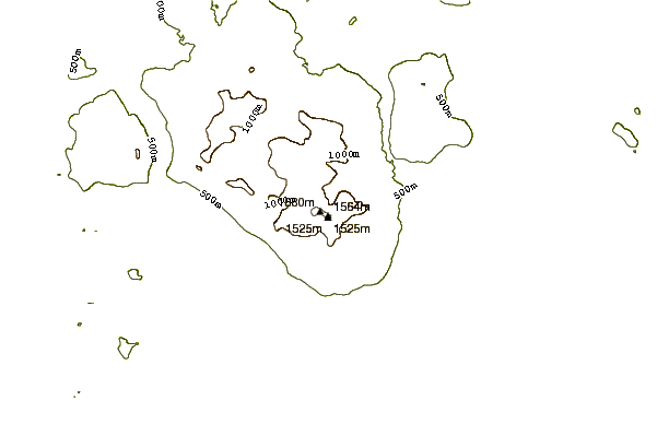
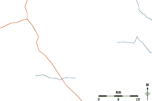
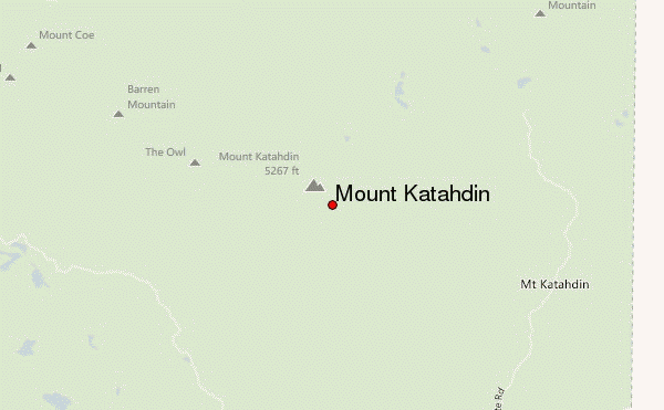
Select Mount Katahdin Location Map Detail:
Use this relief map to navigate to mountain peaks in the area of Mount Katahdin.
10 other mountain peaks closest to Mount Katahdin:
 Mount Katahdin – Climbing, Hiking & Mountaineering information

