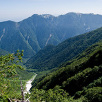
Mount Hōō Guide
- Elevation: 2840
- Difficulty: -
- Best months to climb: -
- Convenient center: -
Mount Hōō climbers Notes
Pichit Mahachanchawalit from THAILAND writes:
October 27 arrive Kofu from Tokyo
October 28 morning start from Yashjinnomori, start at Yakushiyake
October 29 heading to Aokikosen, take bus to Nirasaki st.
2017-10-23 |
Click here to submit your own climbing note for Mount Hōō
|
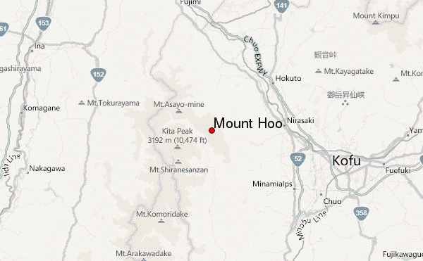
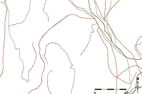
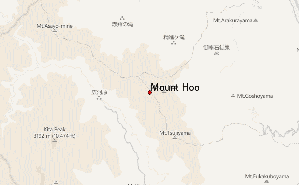
Select Mount Hōō Location Map Detail:
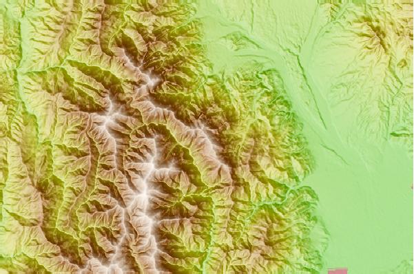
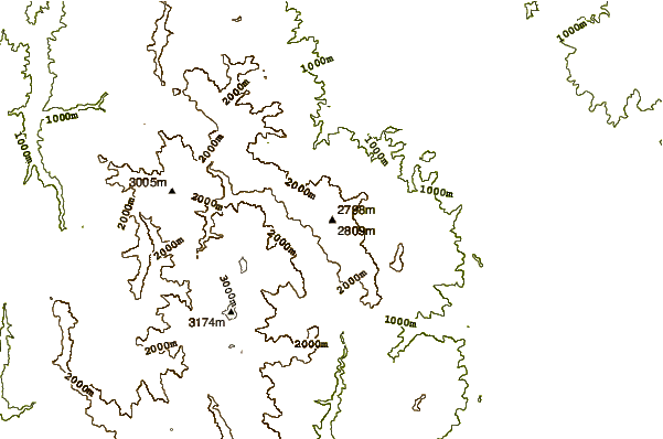
Use this relief map to navigate to mountain peaks in the area of Mount Hōō.
10 other mountain peaks closest to Mount Hōō:
 Mount Hōō (Mount Hoo) – Climbing, Hiking & Mountaineering information