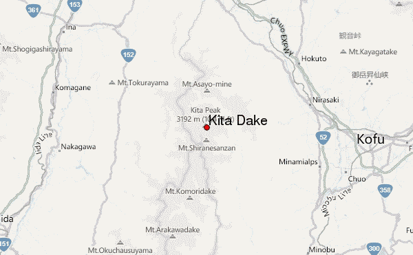
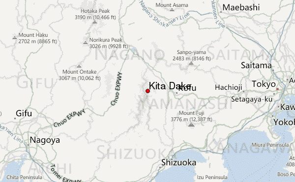
– Lat/Long: 35.67° N 138.24° E
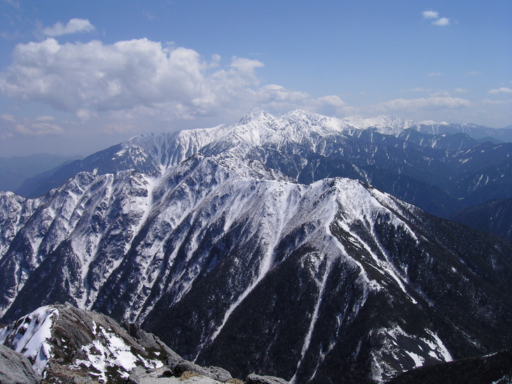
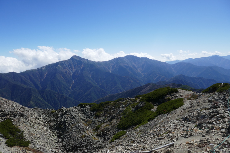
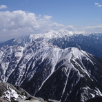
 Kita Dake – Climbing, Hiking & Mountaineering information

Kita Dake Guide

- Elevation: 3192
- Difficulty: Scramble
- Best months to climb: June, July, August, September, October
- Convenient center: Ahiyasa, Japan
Kita Dake climbers Notes
|
| Select a
mountain summit from the menu |
||
|
Select a Mountain Summit
|
||
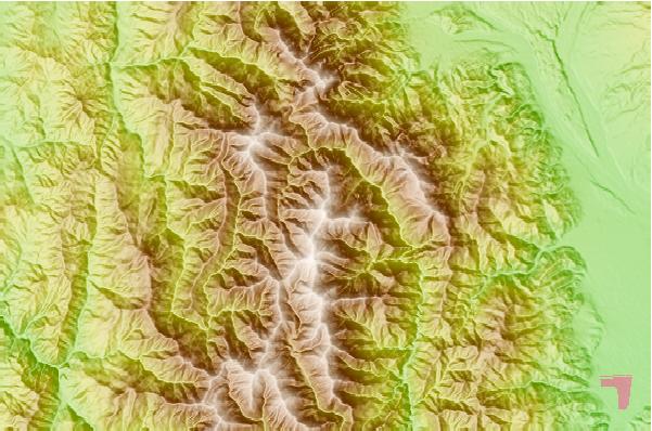
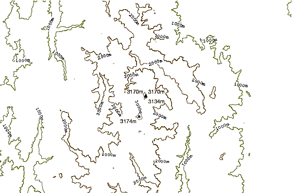
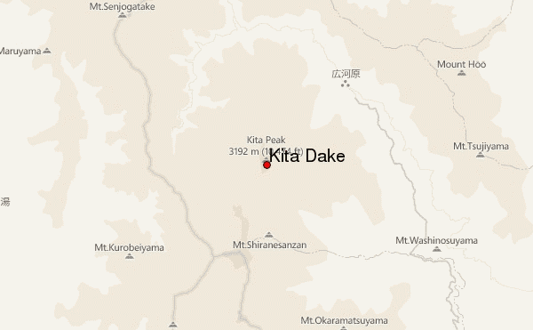
Use this relief map to navigate to mountain peaks in the area of Kita Dake.
10 other mountain peaks closest to Kita Dake:
| 1. | 北岳肩の小屋 (3008 m) | 0.7 km |
| 2. | 北岳山荘 (2875 m) | 1.1 km |
| 3. | 白根御池小屋 (2236 m) | 1.8 km |
| 4. | Mount Aino (3189 m) | 3.2 km |
| 5. | 両俣小屋 (2020 m) | 3.2 km |
| 6. | 広河原山荘 (1532 m) | 3.8 km |
| 7. | 農鳥小屋 (2807 m) | 4.7 km |
| 8. | 熊の平小屋 (2581 m) | 5.6 km |
| 9. | Mount Nōtori (3026 m) | 5.8 km |
| 10. | 早川尾根小屋 (2431 m) | 6.2 km |