– Lat/Long: 42.64° N 73.17° W
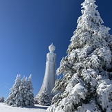
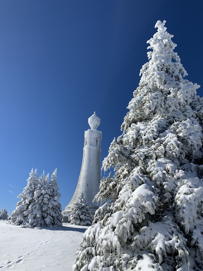
 Mount Greylock
Weather Forecast, United StatesIssued: 7 pm Sun 02 Aug Local TimeUpdates in: hr min sUpdate imminent
Issued: 7 pm Sun 02 Aug Local Time
Updates in:
Update imminent hr min s

Issued: 7 pm Sun 02 Aug Local Time
Updates in:
Update imminent hr min s
Days 1–4 Weather SummaryHeavy rain (total 24mm), heaviest during Mon morning. Warm (max 27°C on Tue afternoon, min 15°C on Mon night). Wind will be generally light. | Days 5–7 Weather SummaryHeavy rain (total 34mm), heaviest during Fri night. Warm (max 31°C on Fri afternoon, min 20°C on Fri night). Wind will be generally light. | ||||||||||||||||||
Monday 3 | Tuesday 4 | Wednesday 5 | Thursday 6 | Friday 7 | Saturday 8 | ||||||||||||||
night | AM | PM | night | AM | PM | night | AM | PM | night | AM | PM | night | AM | PM | night | AM | PM | night | |
light rain | heavy rain | risk tstorm | rain shwrs | clear | clear | some clouds | some clouds | rain shwrs | rain shwrs | rain shwrs | risk tstorm | risk tstorm | clear | risk tstorm | rain shwrs | some clouds | some clouds | clear | |
Cloud base (m) | 450 | 300 | 400 | 9300 | 850 | 650 | 650 | 5500 | 2050 | 5850 | 1850 | 400 | 550 | 1750 | 8850 | ||||
km/h | |||||||||||||||||||
 |  |  |  |  |  |  | |||||||||||||
— | — | — | — | — | — | — | — | — | — | — | — | — | — | — | — | — | — | — | |
mm | 4 | 13 | 6 | 0.1 | — | — | — | — | 1.1 | 0.1 | 1.3 | 1.2 | 5 | — | 0.4 | 26 | — | — | — |
max °C | 23 | 22 | 23 | 20 | 24 | 27 | 22 | 24 | 23 | 22 | 27 | 30 | 24 | 28 | 31 | 21 | 26 | 29 | 25 |
min °C | 21 | 22 | 21 | 15 | 18 | 26 | 19 | 21 | 23 | 21 | 23 | 30 | 22 | 24 | 29 | 20 | 22 | 28 | 22 |
chill °C | 21 | 22 | 21 | 15 | 18 | 26 | 19 | 21 | 23 | 21 | 23 | 30 | 22 | 24 | 29 | 20 | 22 | 28 | 22 |
Freezing level m | 4500 | 4500 | 4350 | 4450 | 4750 | 4850 | 4900 | 4700 | 4800 | 4950 | 4800 | 4800 | 4750 | 4650 | 4450 | 4450 | 4450 | 4500 | 4500 |
— | 5:46 | — | — | 5:47 | — | — | 5:48 | — | — | 5:48 | — | — | 5:50 | — | — | 5:50 | — | — | |
— | — | — | 8:10 | — | — | 8:08 | — | — | 8:07 | — | — | 8:07 | — | — | 8:06 | — | — | 8:04 | |
Loading...
Mount Greylock Weather (Days 0-3):
The weather forecast for Mount Greylock is: Heavy rain (total 24mm), heaviest during Mon morning. Warm (max 27°C on Tue afternoon, min 15°C on Mon night). Wind will be generally light.
Mount Greylock Weather (Days 3-6):
Heavy rain (total 34mm), heaviest during Fri night. Warm (max 31°C on Fri afternoon, min 20°C on Fri night). Wind will be generally light.
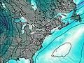
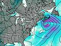
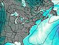
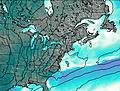
This table gives the weather forecast for Mount Greylock at the specific elevation of 200 m. Our advanced weather models allow us to provide distinct weather forecasts for several elevations of Mount Greylock. To see the weather forecasts for the other elevations, use the tab navigation above the table. For a wider overview of the weather, consult the Weather Map of Massachusetts.
| Weather Station | Temp. | Weather | Wind | Gusts | Cloud / Visibility |
|---|---|---|---|---|---|
Pittsfield Airport | |||||
Bennington Airport |
* NOTE: not all weather observatories update at the same frequency which is the reason why some locations may show data from stations that are further away than known closer ones.