– Lat/Long: 34.36° N 117.76° W
 Mount Baden-Powell – Climbing, Hiking & Mountaineering information

Mount Baden-Powell Guide

- Elevation: 2867
- Difficulty: -
- Best months to climb: -
- Convenient center: -
Mount Baden-Powell climbers NotesBe the first to submit your climbers note! Please submit any useful information about climbing Mount Baden-Powell that may be useful to other climbers. Consider things such as access and accommodation at the base of Mount Baden-Powell, as well as the logistics of climbing to the summit. |
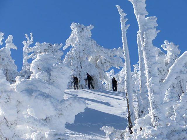
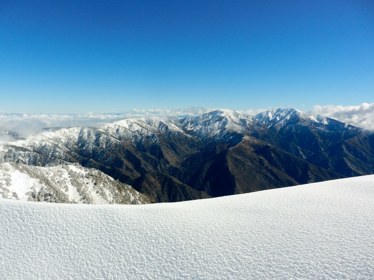
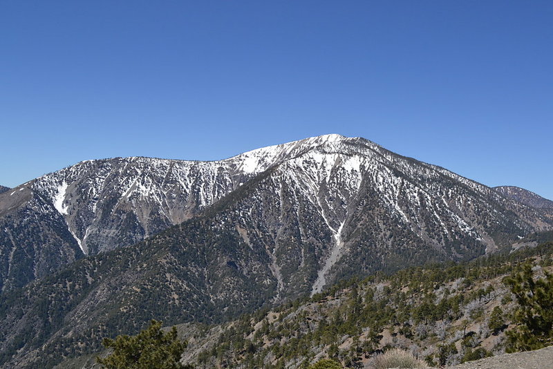
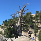
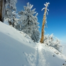
Latest Gallery Images for Mount Baden-Powell


| Select a
mountain summit from the menu |
||
|
Select a Mountain Summit
|
||
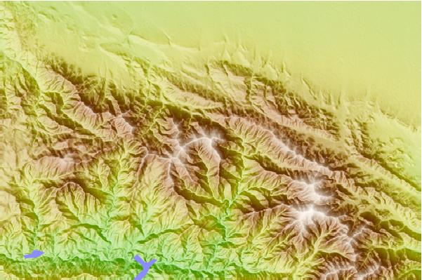
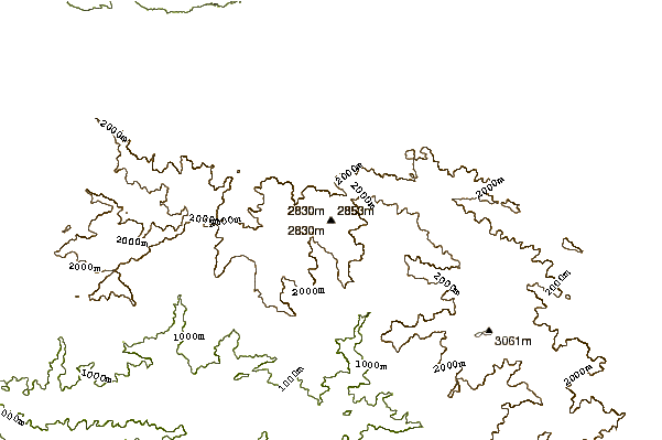
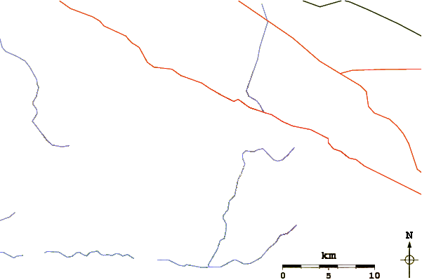
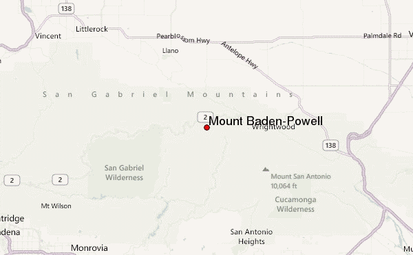
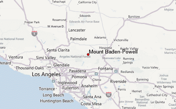
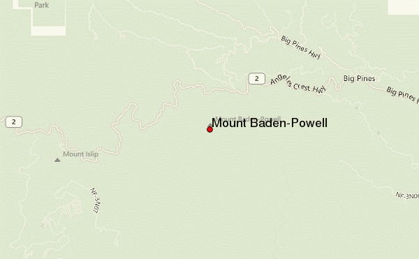
Use this relief map to navigate to mountain peaks in the area of Mount Baden-Powell.
10 other mountain peaks closest to Mount Baden-Powell:
| 1. | Mount Burnham (2742 m) | 1.5 km |
| 2. | Throop Peak (2785 m) | 3.3 km |
| 3. | South Mount Hawkins (2372 m) | 6.7 km |
| 4. | Mount Islip (2514 m) | 7.0 km |
| 5. | Iron Mountain (2440 m) | 9.2 km |
| 6. | Mount Baldy (San Gabriel Range) (3068 m) | 13.3 km |
| 7. | Mount San Antonio (3068 m) | 13.4 km |
| 8. | San Antonio Ski Hut (2501 m) | 14.4 km |
| 9. | Mount Harwood (2911 m) | 14.5 km |
| 10. | Waterman Mountain (2450 m) | 15.9 km |
