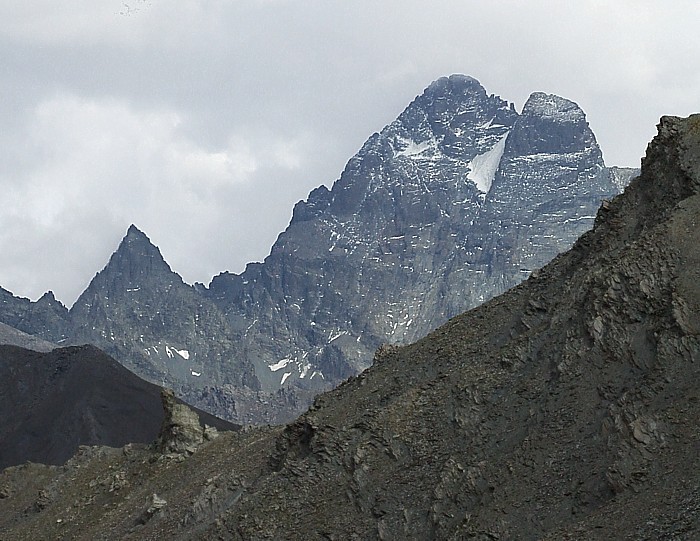
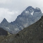
Monte Viso Guide
- Elevation: 3841
- Difficulty: Basic Snow and Ice Climb
- Best months to climb: July, August, September
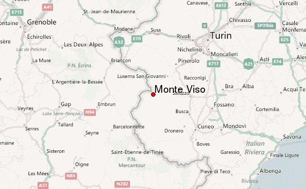
- Convenient center: Castello, Italy
Monte Viso climbers Notes
Oscar from ITALY writes:
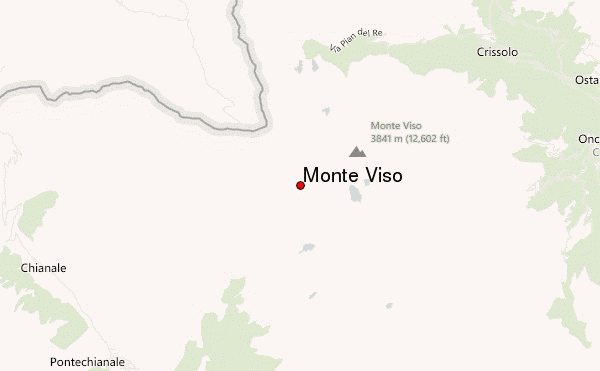
Easy track:
By car from Saluzzo to Crissolo until Pian del Re. Park the car and the path start on sud west direction follow the panel to Sorgente del Po and after follow panel and path to Rifugio Sella. Here is possible to sleep. Continue the path on south direction in a mild slope and follow the second path on the right after 10 minutes. If you follow the first it's shorter but is a via ferrata. You will arrive to Colle delle Sagnette. Pass over descending following the path for about 100 m height and you will see a few red-white marks on rocks indicating a row path in direction north... Don't miss this path , it's the good one! Follow it and you will meet a green emergency shield just beside the path around 3000 m height and after a few minutes you will arrive to the start of the hiking path! Don't miss the red marks until the top!
2015-08-29 |
Click here to submit your own climbing note for Monte Viso
|
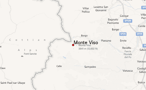
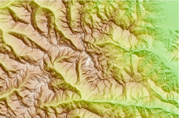
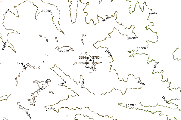
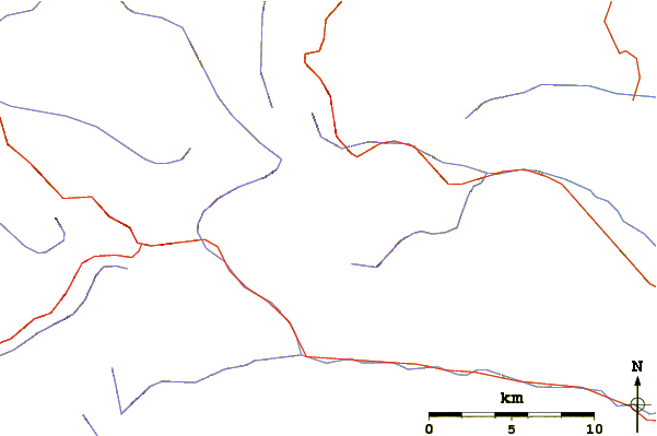
Select Monte Viso Location Map Detail:
Use this relief map to navigate to mountain peaks in the area of Monte Viso.
10 other mountain peaks closest to Monte Viso:
 Monte Viso – Climbing, Hiking & Mountaineering information