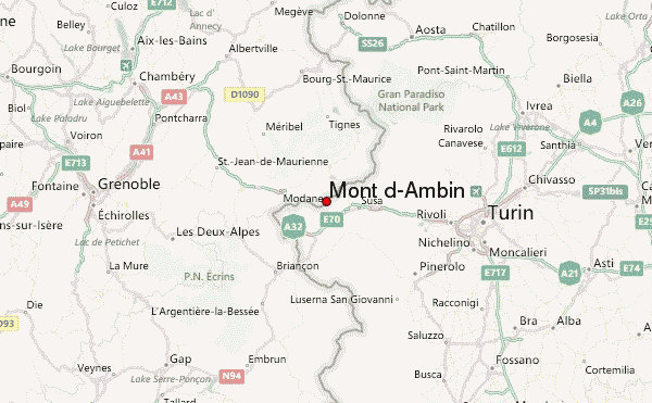
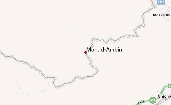
– Lat/Long: 45.16° N 6.88° E
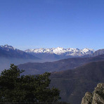
 Mont d'Ambin – Climbing, Hiking & Mountaineering information

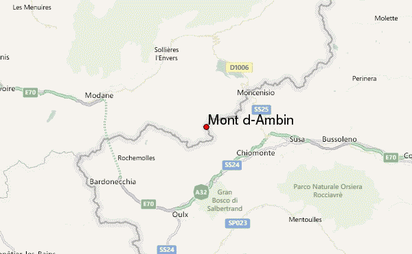
Mont d'Ambin Guide
- Elevation: 3378
- Difficulty: -
- Best months to climb: -
- Convenient center: -
Mont d'Ambin climbers NotesBe the first to submit your climbers note! Please submit any useful information about climbing Mont d'Ambin that may be useful to other climbers. Consider things such as access and accommodation at the base of Mont d'Ambin, as well as the logistics of climbing to the summit. |
| Select a
mountain summit from the menu |
||
|
Select a Mountain Summit
|
||
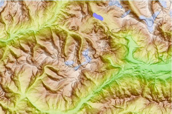
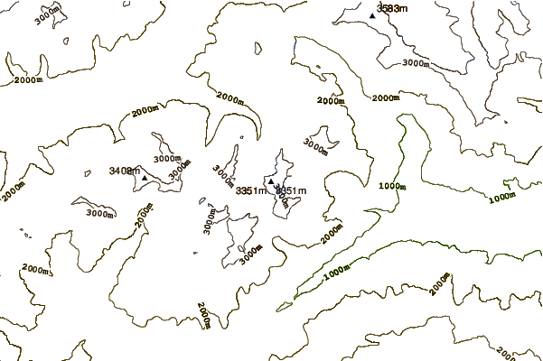
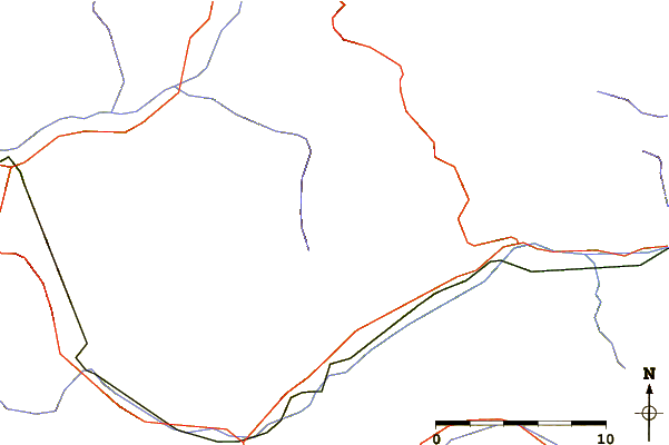
Use this relief map to navigate to mountain peaks in the area of Mont d'Ambin.
10 other mountain peaks closest to Mont d'Ambin:
| 1. | Bivacco Blais Walter (2915 m) | 2.4 km |
| 2. | Rifugio Vaccarone Luigi (2743 m) | 2.6 km |
| 3. | Punta Sommeiller (3333 m) | 4.0 km |
| 4. | Rognosa d'Etiache (3382 m) | 4.6 km |
| 5. | Rifugio Levi Mariannina/molinari Magda (1850 m) | 4.8 km |
| 6. | Capanna Viberti Candido (1824 m) | 5.1 km |
| 7. | Bivacco Sigot Mario (2921 m) | 5.2 km |
| 8. | Bivacco Piero Vacca (2670 m) | 6.3 km |
| 9. | Rifugio Scarfiotti Camillo/crosetto Silvia (2165 m) | 7.0 km |
| 10. | Aiguille de Scolette (3506 m) | 9.1 km |