Malinche Guide

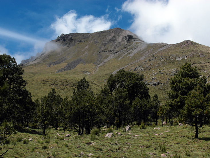
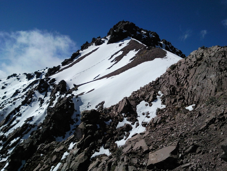
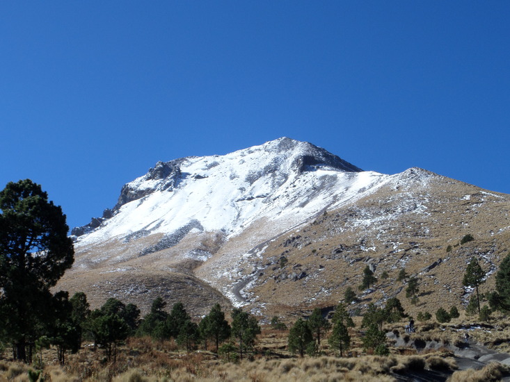
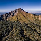
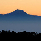
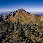
Malinche
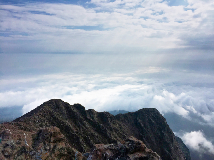
Photo credit: Glenn Harvey Anderl
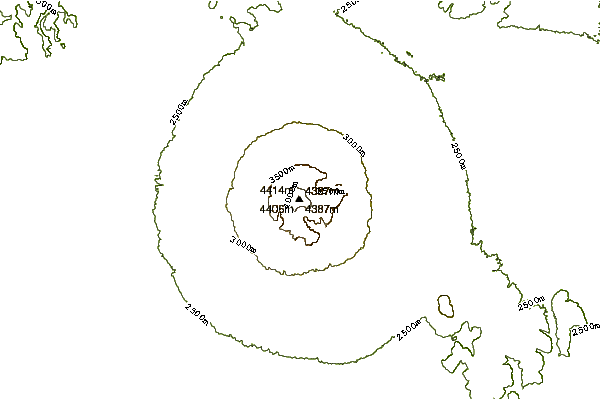
- Elevation: 4462
- Difficulty: Walk up
- Best months to climb: January, February, December
- Convenient center: Huamantla or Gov. Resort La Malintzin
Malinche climbers Notes
SALVADOR LUNA N. from MEXICO writes:
Si vas en transporte publico, llega a apizaco tlax. Donde salen las combis a teacalco, hay una que te lleva al c.v. malintizi, sale a las 8, 13 y 16 hrs, regresan una hora después.
If you're going by public transport, get to Apizaco, Tlaxcala. Where the combis (minibuses) leave for Teacalco, there's one that takes you to the Malintizi Visitor Center; it leaves at 8:00, 13:00, and 16:00 and returns an hour later.
2025-12-05 |
Click here to read 3 more climbing notes for Malinche or submit your own
|
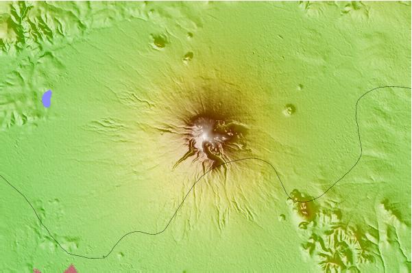
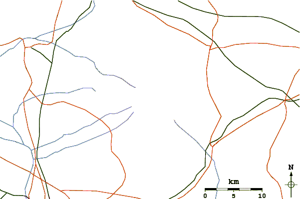
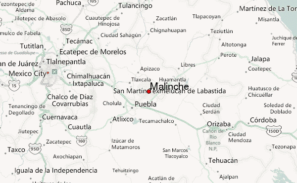
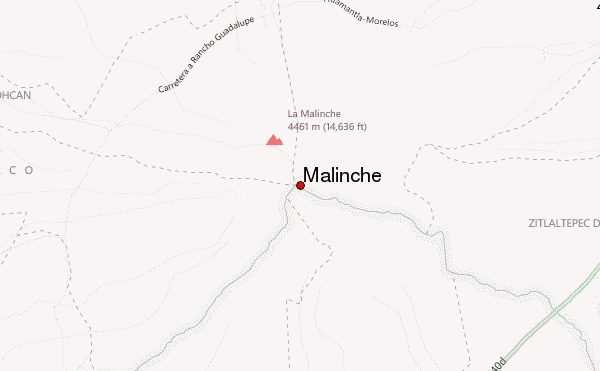
Select Malinche Location Map Detail:
Use this relief map to navigate to mountain peaks in the area of Malinche.
10 other mountain peaks closest to Malinche:
 Malinche – Climbing, Hiking & Mountaineering information