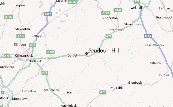
– Lat/Long: 55.62° N 4.21° W
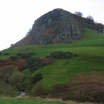
 Loudoun Hill – Climbing, Hiking & Mountaineering information

Loudoun Hill Guide
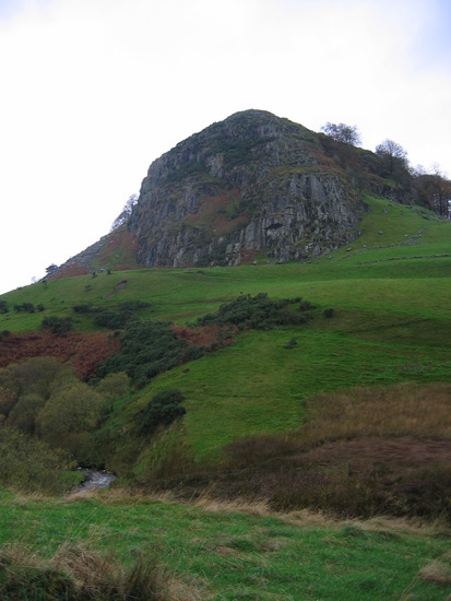
- Elevation: 316
- Difficulty: -
- Best months to climb: -
- Convenient center: -
Loudoun Hill climbers NotesBe the first to submit your climbers note! Please submit any useful information about climbing Loudoun Hill that may be useful to other climbers. Consider things such as access and accommodation at the base of Loudoun Hill, as well as the logistics of climbing to the summit. |
| Select a
mountain summit from the menu |
||
|
Select a Mountain Summit
|
||
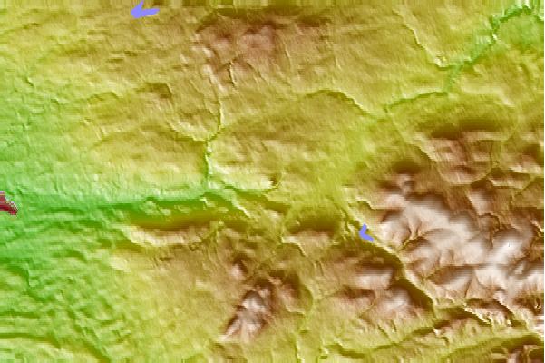
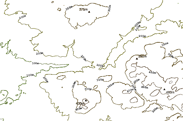
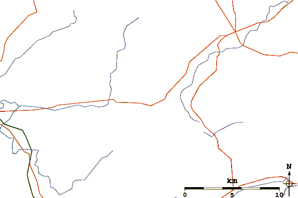
Use this relief map to navigate to mountain peaks in the area of Loudoun Hill.
10 other mountain peaks closest to Loudoun Hill:
| 1. | Tinto (711 m) | 34.6 km |
| 2. | Clennoch Bothy (416 m) | 37.7 km |
| 3. | Cairnsmore of Carsphairn (797 m) | 40.0 km |
| 4. | Hill of Stake (522 m) | 41.4 km |
| 5. | Campsie Fell (543 m) | 45.1 km |
| 6. | Culter Fell (748 m) | 45.4 km |
| 7. | Kettleton Byre (356 m) | 46.9 km |
| 8. | Tunskeen Bothy (324 m) | 50.8 km |
| 9. | Cairnpapple Hill (312 m) | 50.8 km |
| 10. | Brattleburn Bothy (275 m) | 51.2 km |