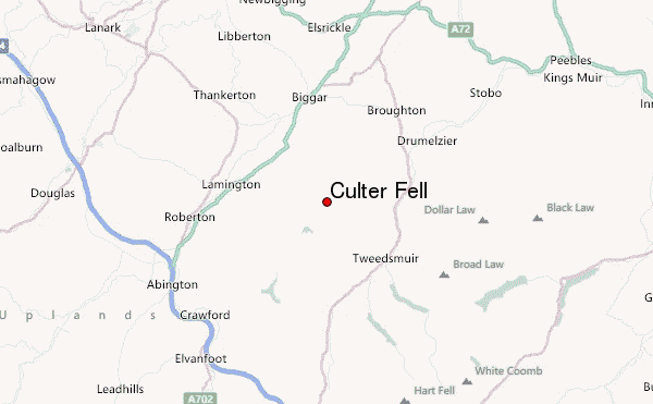
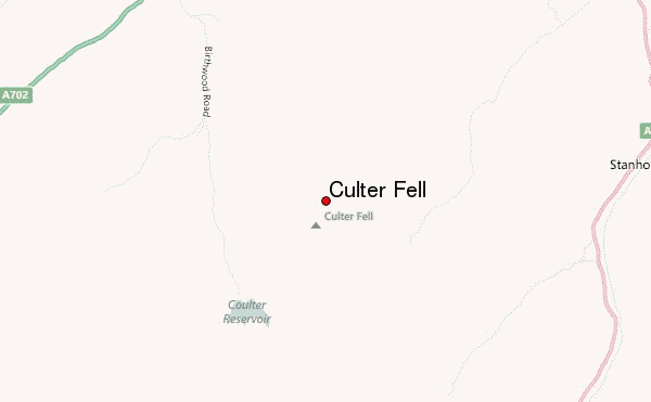
– Lat/Long: 55.55° N 3.50° W
 Culter Fell – Climbing, Hiking & Mountaineering information

Culter Fell Guide
- Elevation: 748
- Difficulty: Walk up
- Best months to climb: January, February, March, April, May, June, July, September, October, November, December
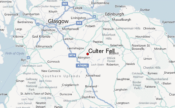
- Convenient center: Moffat
Culter Fell climbers NotesBe the first to submit your climbers note! Please submit any useful information about climbing Culter Fell that may be useful to other climbers. Consider things such as access and accommodation at the base of Culter Fell, as well as the logistics of climbing to the summit. |
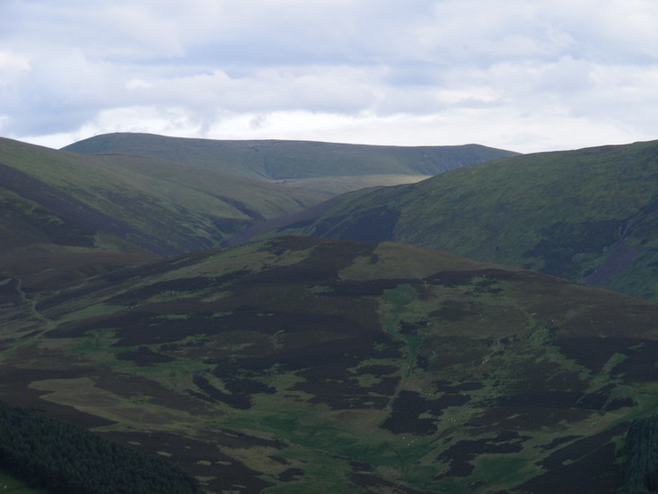
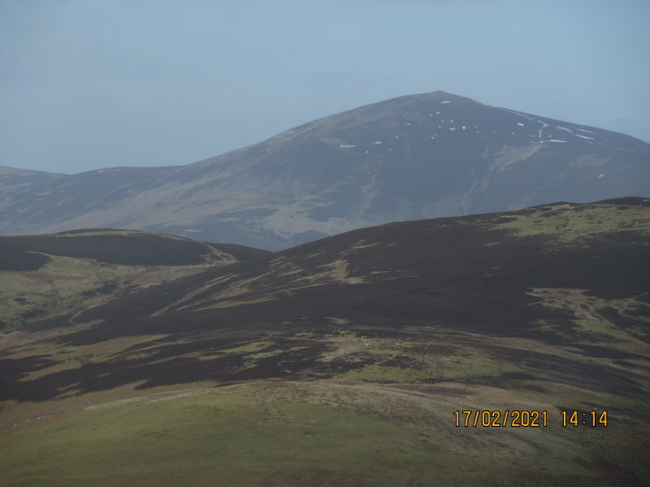
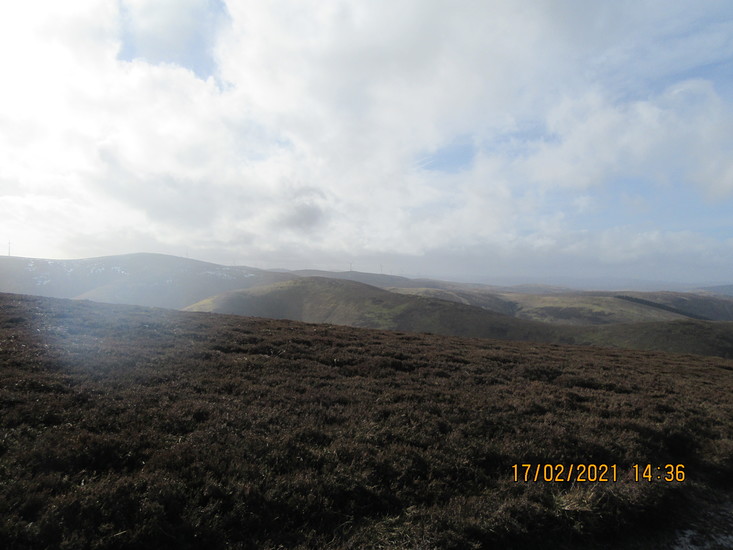
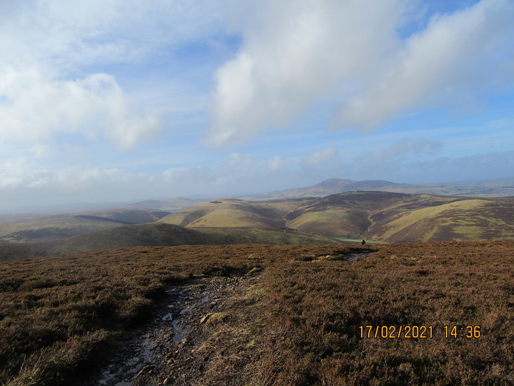
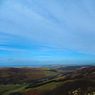
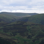
Latest Gallery Images for Culter Fell
| Select a
mountain summit from the menu |
||
|
Select a Mountain Summit
|
||
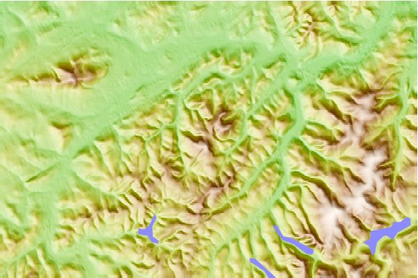
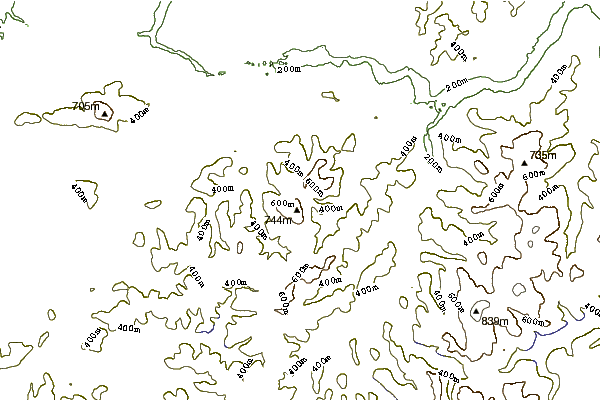
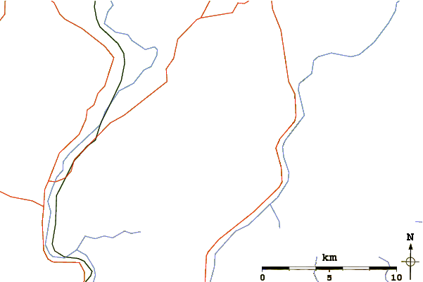
Use this relief map to navigate to mountain peaks in the area of Culter Fell.
10 other mountain peaks closest to Culter Fell:
| 1. | Broad Law (840 m) | 10.9 km |
| 2. | Tinto (711 m) | 11.3 km |
| 3. | Gameshope Bothy (419 m) | 13.5 km |
| 4. | White Coomb (821 m) | 17.0 km |
| 5. | Crown of Scotland (hill) (538 m) | 18.9 km |
| 6. | Brattleburn Bothy (275 m) | 23.0 km |
| 7. | Over Phawhope (395 m) | 24.8 km |
| 8. | Glentress (600 m) | 26.3 km |
| 9. | Traquair Trails (564 m) | 30.0 km |
| 10. | Queensberry (hill) (697 m) | 30.4 km |