Looking Glass Rock Guide
- Elevation: 1210
- Difficulty: Walk up
- Best months to climb: March, April, May, June, September, October, November
- Convenient center: Pisgah Forrest, NC
Looking Glass Rock climbers Notes
Steve Henson from UNITED STATES writes:
The 3.1 mile hike is a very difficult all uphill climb to the summit of the rock, except for a very short hike down to the rock face.
My son and I hiked to the summit in January(2013), when the temperature was approximately 19 degrees. We completed the 6.2 mile round trip hike in a little over 3 hours.
My Suggestions to prepare for this hike are: Wear comfortable hiking shoes, take bottled water, and snacks can help boost your energy level. A walking stick is also helpful to maintain balance. My Verizion wireless cellphone had a signal the whole way.(Could have been a lifesaver in case of an emergency.) This hike was one of the best I have every took. The view at the summit is Awesome.
2013-08-07 |
Click here to submit your own climbing note for Looking Glass Rock
|
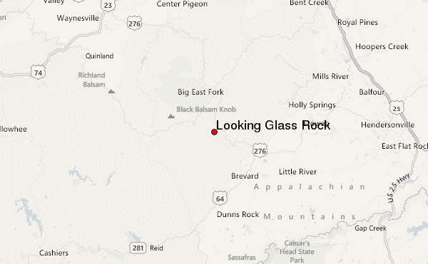
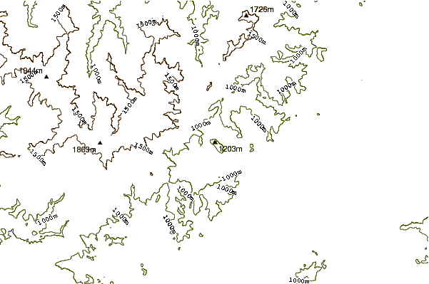
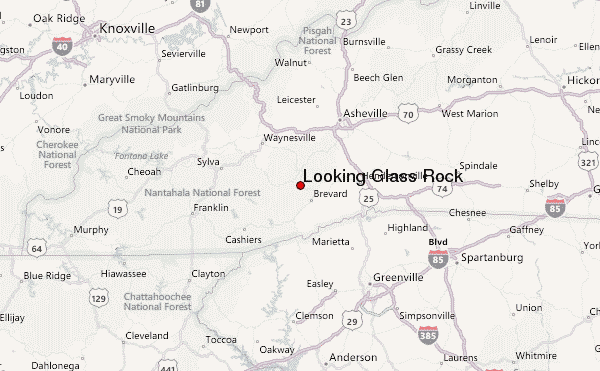
Select Looking Glass Rock Location Map Detail:
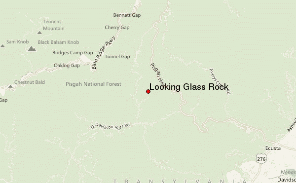
Use this relief map to navigate to mountain peaks in the area of Looking Glass Rock.
10 other mountain peaks closest to Looking Glass Rock:
 Looking Glass Rock – Climbing, Hiking & Mountaineering information


