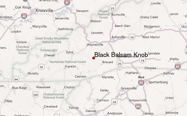
– Lat/Long: 35.33° N 82.88° W
 Black Balsam Knob – Climbing, Hiking & Mountaineering information

Black Balsam Knob Guide
- Elevation: 1894
- Difficulty: -
- Best months to climb: -
- Convenient center: -
Black Balsam Knob climbers NotesBe the first to submit your climbers note! Please submit any useful information about climbing Black Balsam Knob that may be useful to other climbers. Consider things such as access and accommodation at the base of Black Balsam Knob, as well as the logistics of climbing to the summit. |
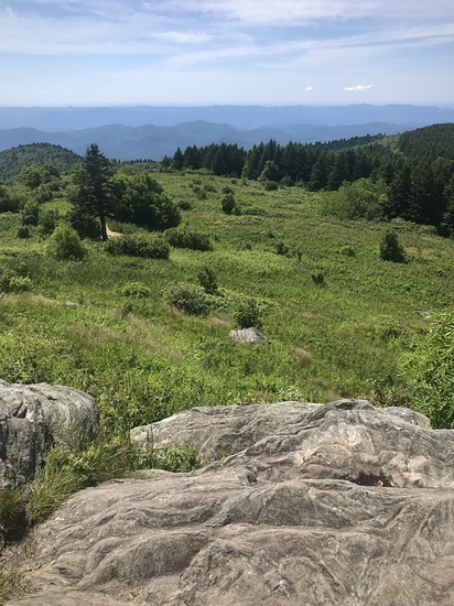
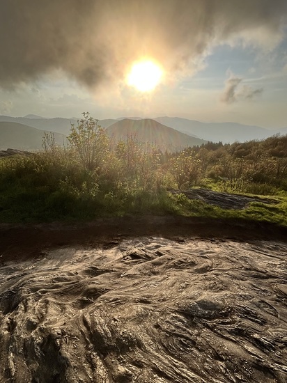
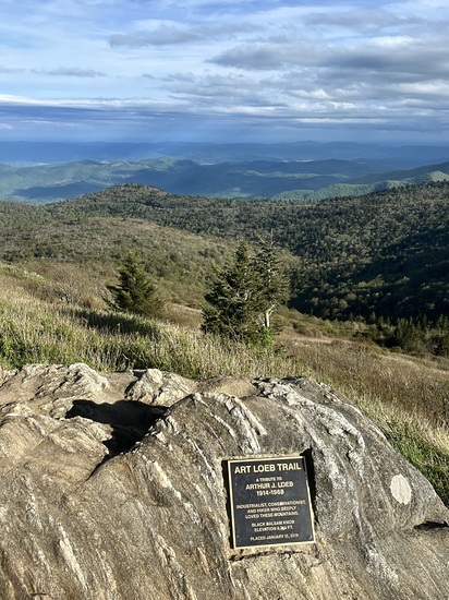
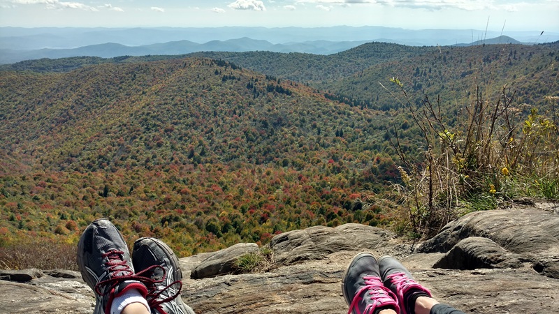
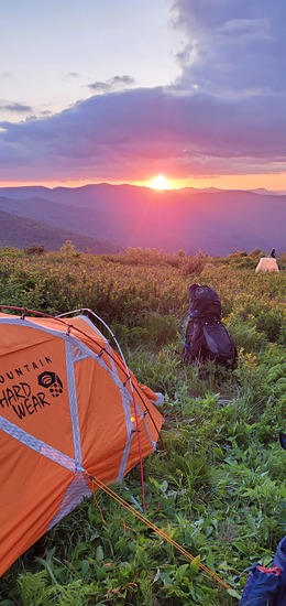
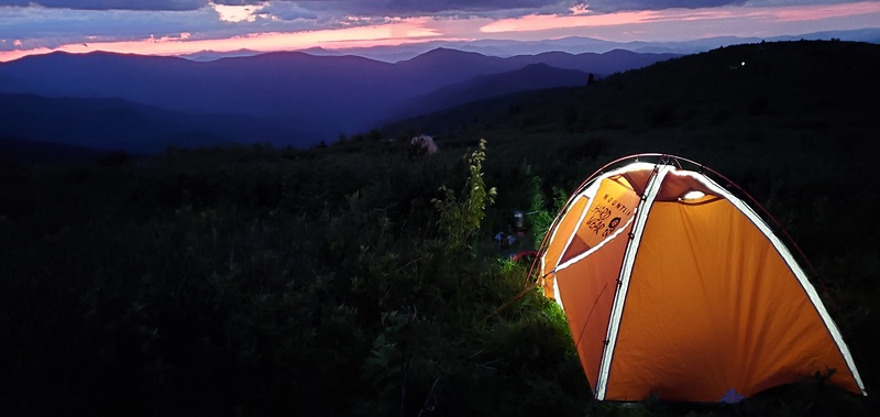
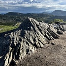
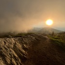
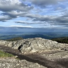
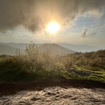
Latest Gallery Images for Black Balsam Knob

| Select a
mountain summit from the menu |
||
|
Select a Mountain Summit
|
||
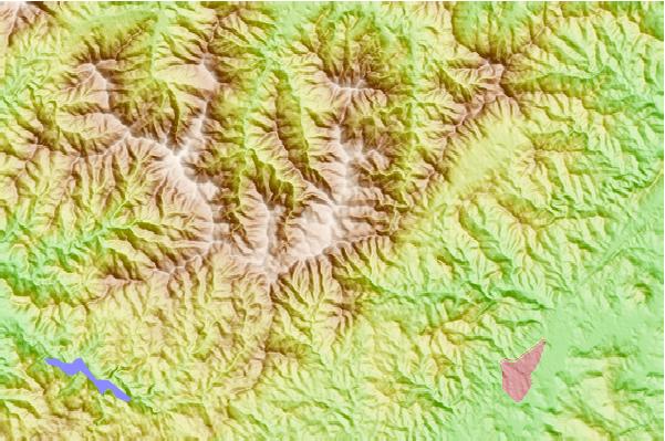
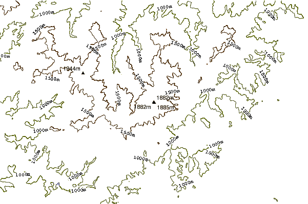
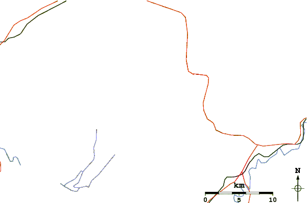
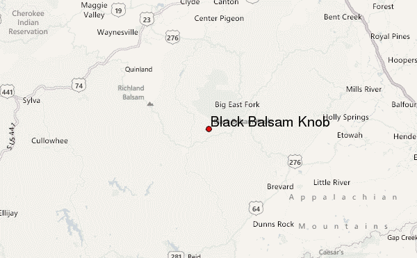
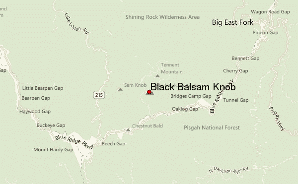
Use this relief map to navigate to mountain peaks in the area of Black Balsam Knob.
10 other mountain peaks closest to Black Balsam Knob:
| 1. | Devil's Courthouse (1743 m) | 3.5 km |
| 2. | Shining Rrock (1811 m) | 4.6 km |
| 3. | Shining Rock (1841 m) | 4.6 km |
| 4. | Tanasee Bald (1695 m) | 5.6 km |
| 5. | Looking Glass Rock (1210 m) | 7.9 km |
| 6. | Cold Mountain (North Carolina) (1838 m) | 9.2 km |
| 7. | Richland Balsam (1954 m) | 11.3 km |
| 8. | Mount Pisgah (North Carolina) (1744 m) | 15.3 km |
| 9. | Chestnut Mountain (Transylvania County, North Carolina) (918 m) | 23.1 km |
| 10. | Eaglenest Mountain (1501 m) | 24.1 km |