Lone Cone Guide
- Elevation: 742
- Difficulty: -
- Best months to climb: -
- Convenient center: -
Lone Cone climbers Notes
Ole D. Dunn from SWEDEN writes:
Climb early in the morning for when storm clouds begin to form it is time to get off the mountain. It is frequently receives many lightning strikes simultaneously as it is the highest elevation with no other peaks to tempt the lightning to other targets.
The climb has some exposure but the most difficult aspect is climbing over the boulder fields. Once on top you will gaze in a 360 degree panorama that makes the thin air worth the effort.
2012-03-27 |
Click here to submit your own climbing note for Lone Cone
|
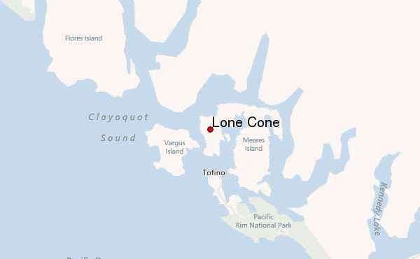
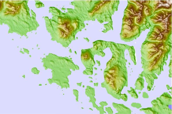
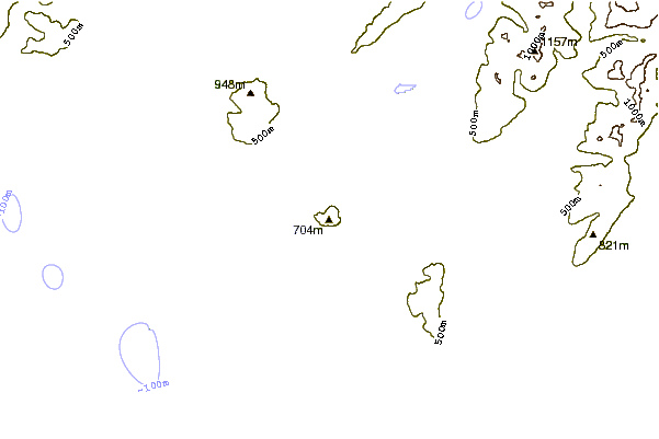
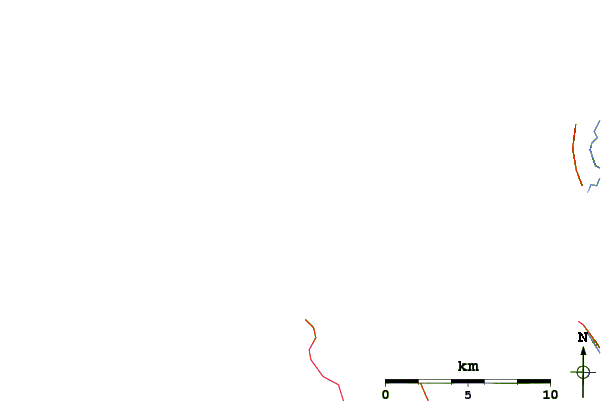
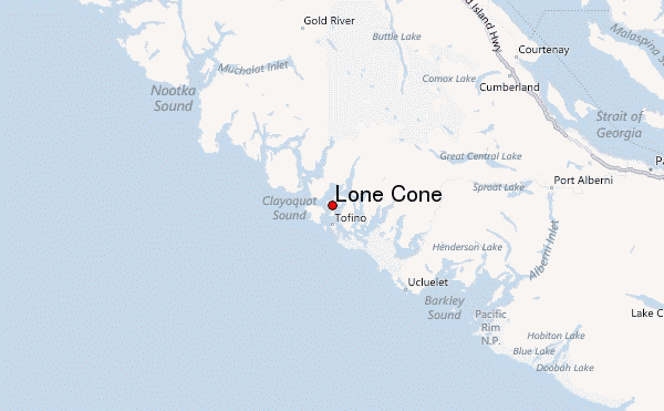
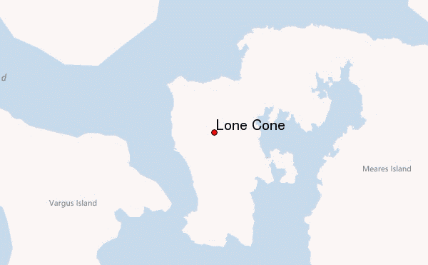
Select Lone Cone Location Map Detail:
Use this relief map to navigate to mountain peaks in the area of Lone Cone.
10 other mountain peaks closest to Lone Cone:
 Lone Cone – Climbing, Hiking & Mountaineering information