– Lat/Long: 3.12° S 152.64° E
 Lihir Island – Climbing, Hiking & Mountaineering information

Lihir Island Guide
- Elevation: 700
- Difficulty: -
- Best months to climb: -
- Convenient center: -
Lihir Island climbers Notes
Click here to submit your own climbing note for Lihir Island |
| Select a
mountain summit from the menu |
||
|
Select a Mountain Summit
|
||
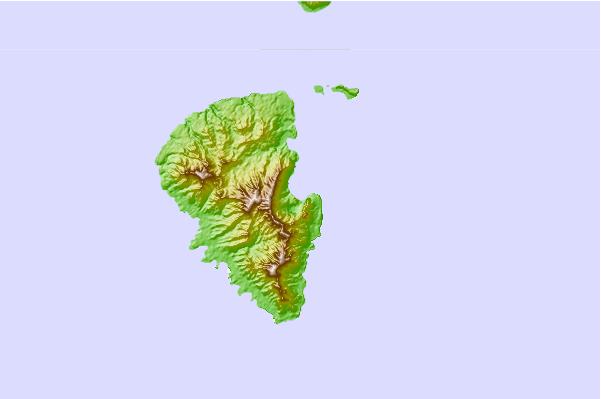
Use this relief map to navigate to mountain peaks in the area of Lihir Island.
10 other mountain peaks closest to Lihir Island:
| 1. | Tanga Islands (472 m) | 76.3 km |
| 2. | Tabar Group (622 m) | 78.4 km |
| 3. | Rabaul caldera (688 m) | 136.5 km |
| 4. | Tavurvur (223 m) | 136.5 km |
| 5. | Vulcan (volcano) (243 m) | 137.9 km |
| 6. | Mount Taron (2340 m) | 139.1 km |
| 7. | Ambitle (450 m) | 154.6 km |
| 8. | Babase Island (200 m) | 156.4 km |
| 9. | Ulawun (2334 m) | 259.1 km |
| 10. | Bamus (2248 m) | 279.1 km |