Kanzelwand Guide
- Elevation: 2058
- Difficulty: -
- Best months to climb: -
- Convenient center: -
Kanzelwand climbers Notes
GJWolfswinkel from THE NETHERLANDS writes:
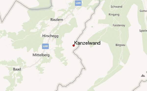
From the Kanzelwandbahn mountain station, it's a brief hike to the summit, around 20 minutes. For the most part it's a maintained path, easily walkable on good shoes. The final ascent is more demanding and requires some climbing; there is a cable to hold on to. Its close proximity to the mountain station makes it a popular and easily reachable goal for visitors, but especially the last bit really does require good footwear.
The summit is also reachable via a Klettersteig, the Walsersteig, which seems to be very popular.
2025-09-23 |
Click here to submit your own climbing note for Kanzelwand
|
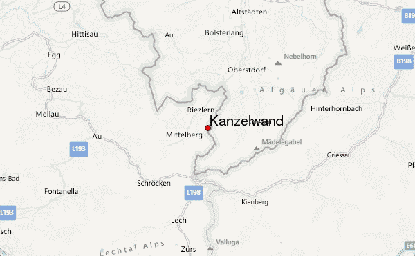
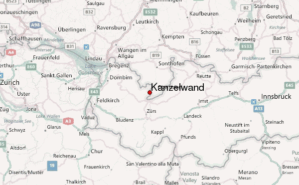
Select Kanzelwand Location Map Detail:
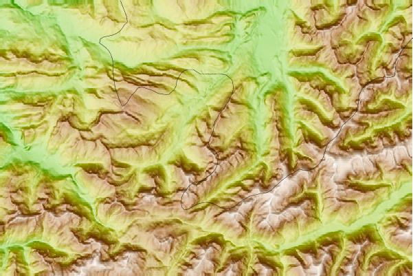
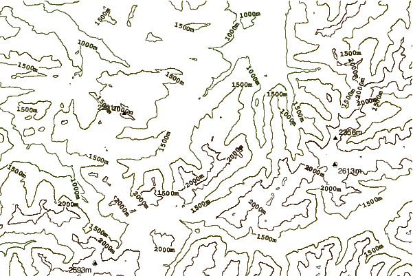
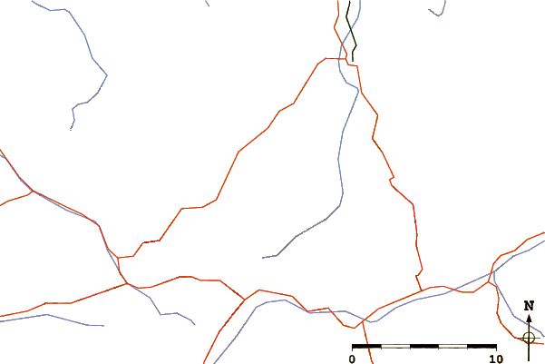
Use this relief map to navigate to mountain peaks in the area of Kanzelwand.
10 other mountain peaks closest to Kanzelwand:
 Kanzelwand – Climbing, Hiking & Mountaineering information