Kalsubai Guide
- Elevation: 1646
- Difficulty: -
- Best months to climb: -
- Convenient center: -
Kalsubai climbers Notes
shekhar marathe from INDIA writes:
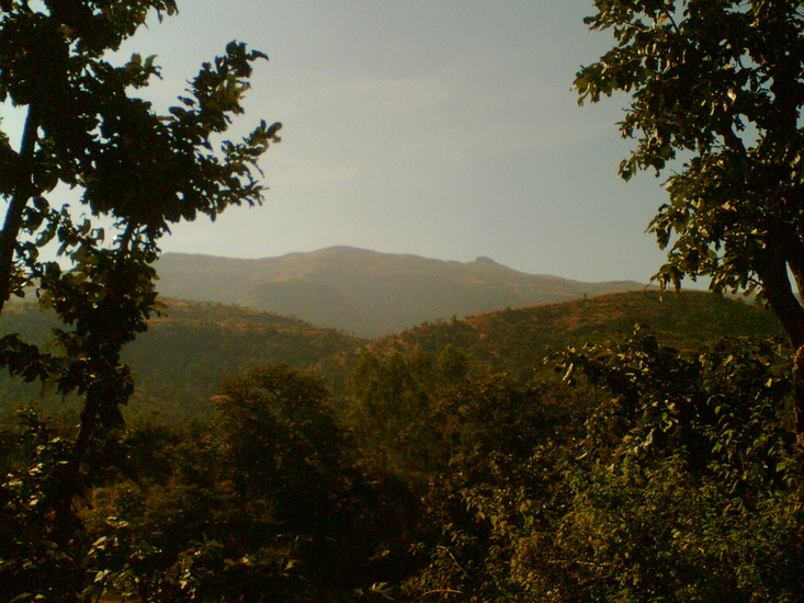
The entire trek takes 5-6hrs. It wuld be better if you make a night stay in the village Bari and start the trek in the early morning.
It is an wonderful and medium-hard trek. The walk is through open forest patch, so it might be exhaustive during sunny day. the path is well marked. One can easily get a guide from the base camp-village Bari for just Rs. 50-100. The villagers also make food arrangements for few bucks. There are iron ladders built by the villagers at the steep hill locations. The climb is gentle yet more exhaustive. There is a well in the middle of the trek with can quench your thirst also fulfil your bathing requirements.
If you have tents, you can also make an overnight stay near the well-hut. The final hill top is shaped like a stern of the ship. Along with us, an old man of the age 80 years also climbed the peak.
On week ends the trek is a very busy path for trekkers from Mumbai, Pune and Nashik. During Navratri the villagers hold a yatra in the Kalsubai temple. one has to climb a straight ladder and pay tributes to the Kalsubai goddess for making the trip successful
2011-07-25 |
Click here to read 2 more climbing notes for Kalsubai or submit your own
|
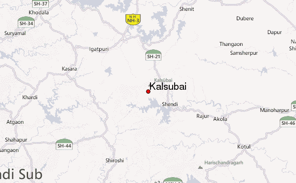
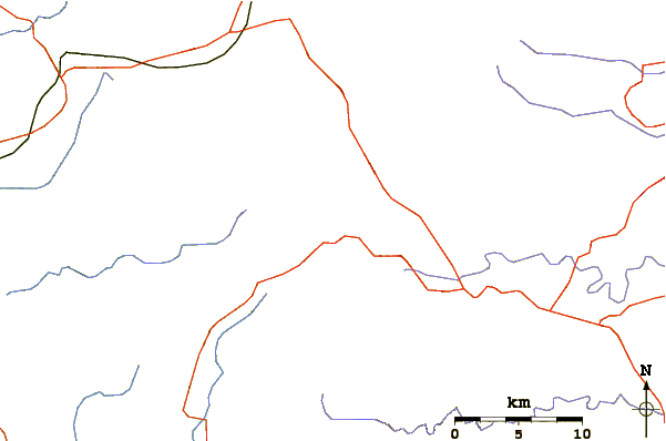
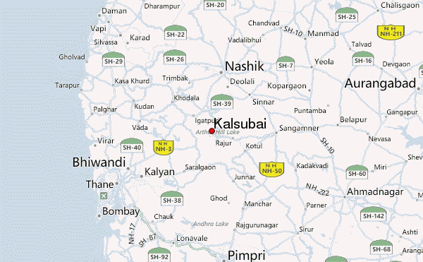
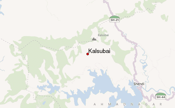
Select Kalsubai Location Map Detail:
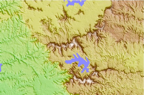
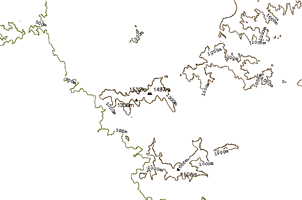
Use this relief map to navigate to mountain peaks in the area of Kalsubai.
10 other mountain peaks closest to Kalsubai:
 Kalsubai – Climbing, Hiking & Mountaineering information