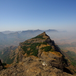
– Lat/Long: 19.39° N 73.78° E

InHarishchandragad – Climbing, Hiking & Mountaineering information

Placeholder

Harishchandragad mountain guide

viju and rajan, Harishchandragad photo

Harishchandragad

Photo credit: rajan rajput

rajansing rajput, Harishchandragad photo

Harishchandragad

Photo credit: rajan rajput

Harishchandragad photo

Harishchandragad

Photo credit: Cj.samson

  • Elevation: 1340 m
  • Difficulty:
  • Best months to climb:
  • Convenient center:

Harishchandragad Climbing Notes

Aniruddha Nakil from INDIA writes:

Dear Sir/ Madam,
I am planning to go for expedition during last week of December, 2012. at Harishchandragad.
I would be grateful if you can send me free climbing notes.

Thank you for your kind co-operation

With warm regards,
Aniruddha Nakil

2012-12-12

Click here to read 1 more climbing note for Harishchandragad or submit your own

Harishchandragad Location Map

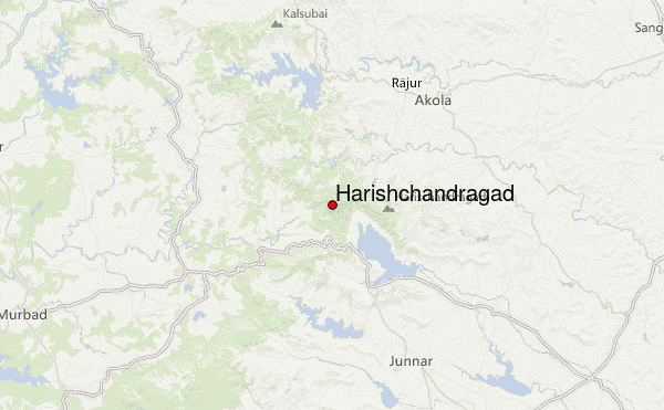
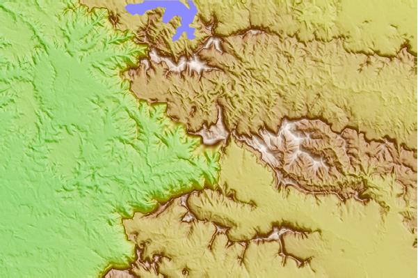
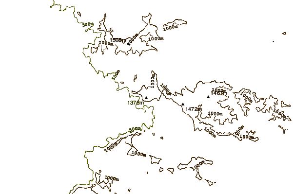
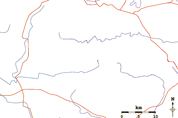
Select Harishchandragad Location Map Detail:


Latest Gallery Images for Harishchandragad

visit the
gallery
or click to view
Harishchandragad

Upload your photo of Harishchandragad

Select a mountain summit from the menu
Select a Mountain Summit
Surf breaks located close to Harishchandragad Mountain peaks around Harishchandragad Roads and rivers around Harishchandragad

Use this relief map to navigate to mountain peaks in the area of Harishchandragad.

10 other mountain peaks closest to Harishchandragad:
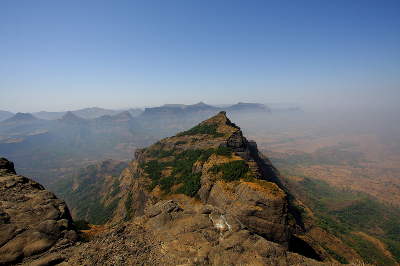
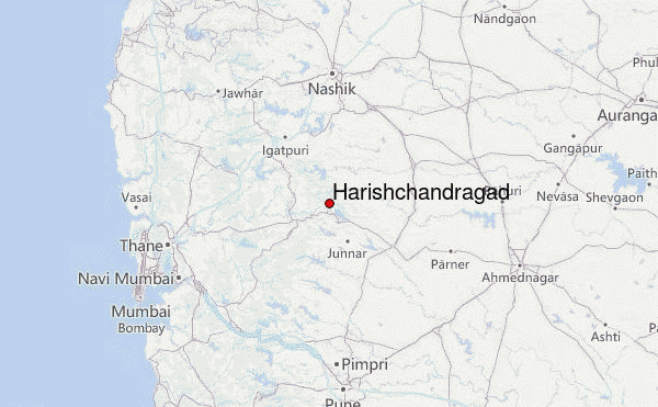
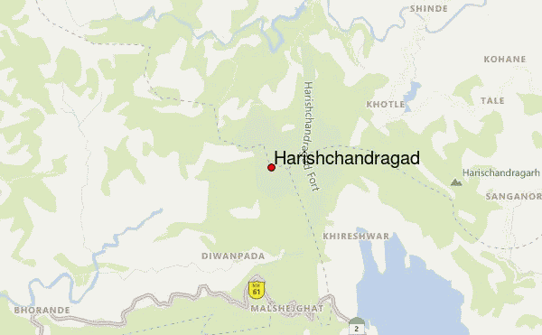
1. Kalsubai (1646 m) 23.1 km
2. Anjaneri (2200 m) 63.0 km
3. Tung Fort (1075 m) 87.5 km
4. Baner Hill (678 m) 93.4 km
5. Vetal Hill (2600 m) 96.1 km
6. Parvati Hill (2100 m) 99.4 km
7. Gilbert Hill (60 m) 102.7 km
8. Sinhagad (1312 m) 113.8 km
9. Torna Fort (1403 m) 124.8 km
10. Purandar fort (1363 m) 124.9 km