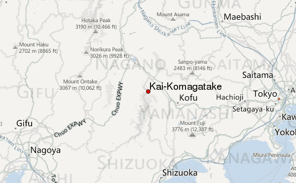
– Lat/Long: 35.76° N 138.24° E
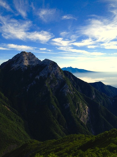
 Kai-Komagatake – Climbing, Hiking & Mountaineering information

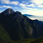
Kai-Komagatake Guide
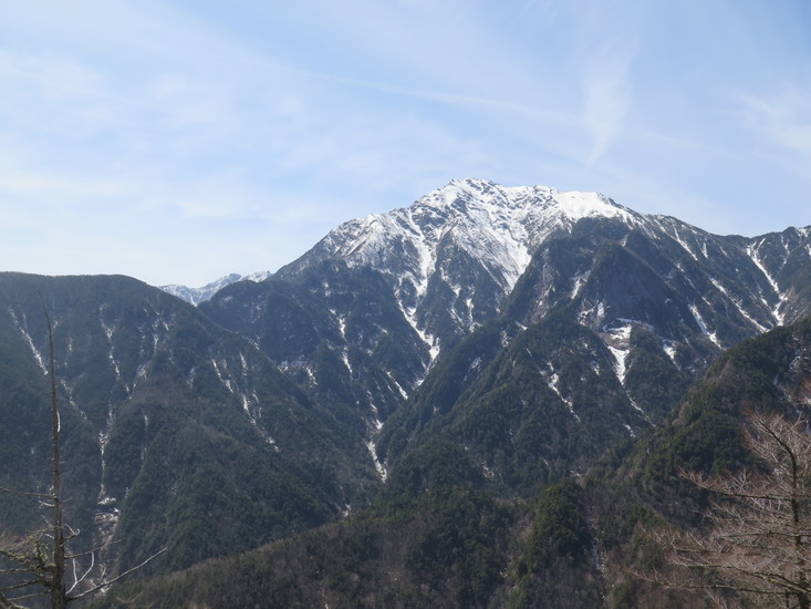
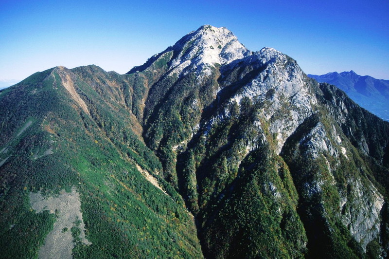
- Elevation: 2967
- Difficulty: Walk up
- Best months to climb: July, August, September, October
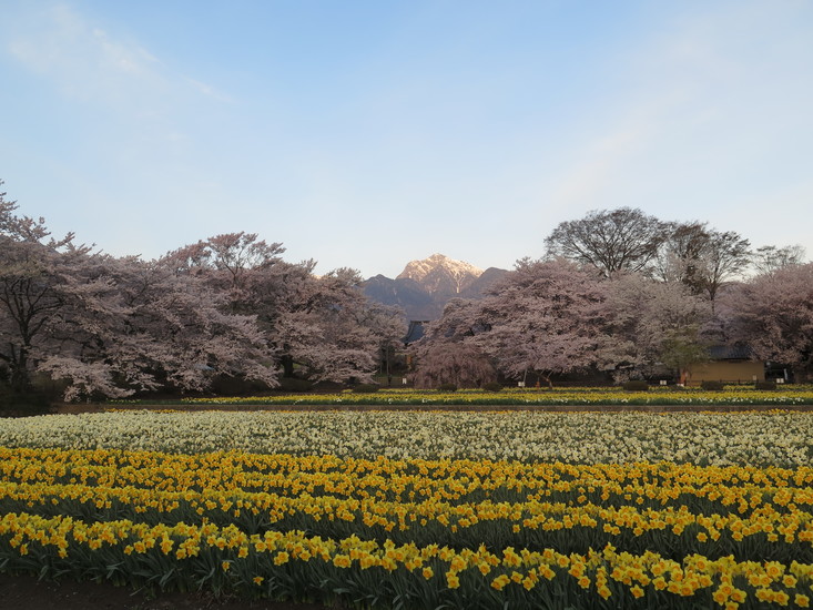
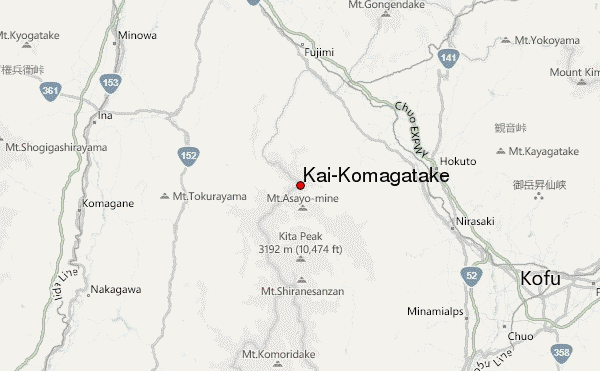
- Convenient center: Kofu
Kai-Komagatake climbers NotesBe the first to submit your climbers note! Please submit any useful information about climbing Kai-Komagatake that may be useful to other climbers. Consider things such as access and accommodation at the base of Kai-Komagatake, as well as the logistics of climbing to the summit. |
| Select a
mountain summit from the menu |
||
|
Select a Mountain Summit
|
||
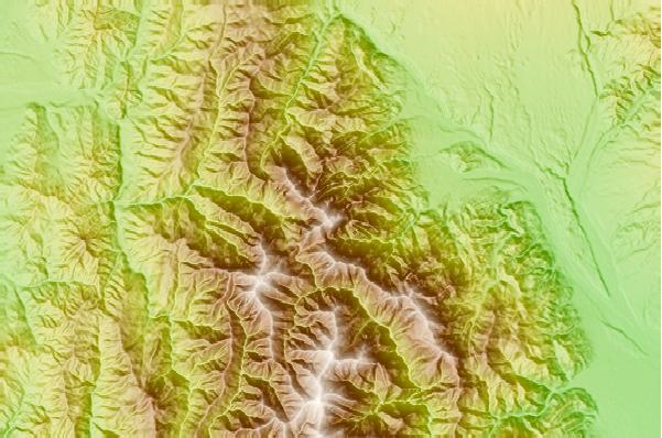
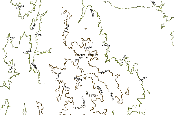
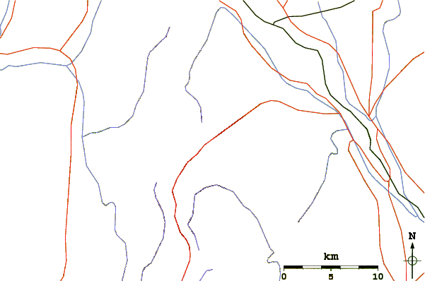
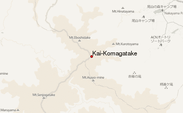
Use this relief map to navigate to mountain peaks in the area of Kai-Komagatake.
10 other mountain peaks closest to Kai-Komagatake:
| 1. | 七丈小屋 (2295 m) | 1.2 km |
| 2. | 仙水小屋 (2146 m) | 2.0 km |
| 3. | こもれび山荘 (2044 m) | 2.7 km |
| 4. | 長衛小屋 (1989 m) | 2.9 km |
| 5. | 大平山荘 (1964 m) | 3.1 km |
| 6. | Mount Nokogiri (Akaishi) (2685 m) | 3.4 km |
| 7. | 早川尾根小屋 (2431 m) | 4.3 km |
| 8. | 馬の背ヒュッテ (2639 m) | 5.4 km |
| 9. | 仙丈小屋 (2884 m) | 6.2 km |
| 10. | Senjou Dake (3033 m) | 6.4 km |