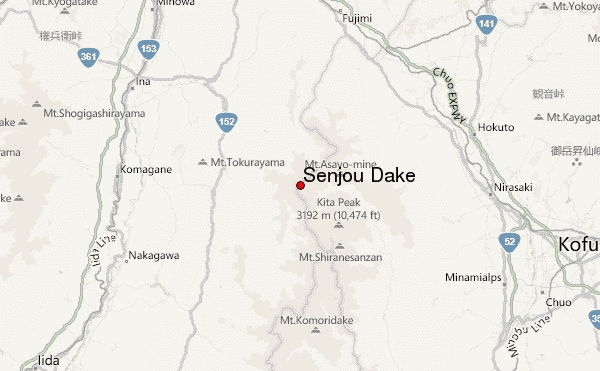
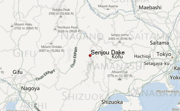
– Lat/Long: 35.72° N 138.18° E
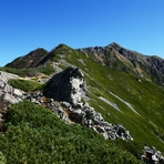
 Senjou Dake – Climbing, Hiking & Mountaineering information

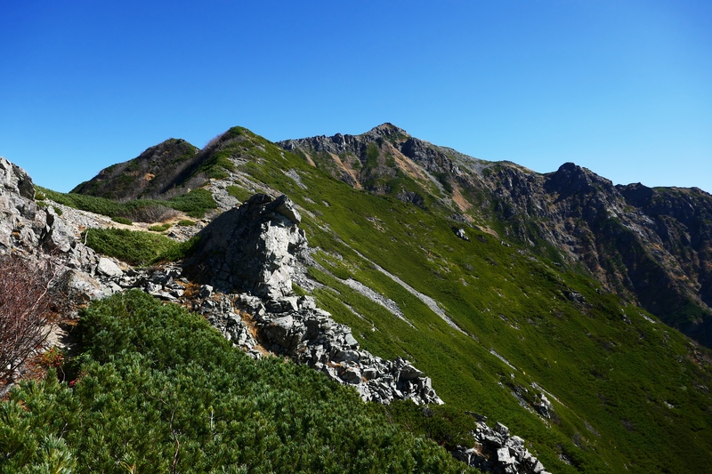
Senjou Dake Guide
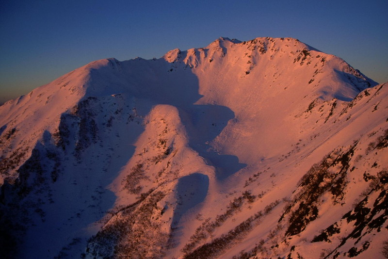
- Elevation: 3033
- Difficulty: Walk up
- Best months to climb: August, September, October
- Convenient center: Kofu, Komagane
Senjou Dake climbers NotesBe the first to submit your climbers note! Please submit any useful information about climbing Senjou Dake that may be useful to other climbers. Consider things such as access and accommodation at the base of Senjou Dake, as well as the logistics of climbing to the summit. |
| Select a
mountain summit from the menu |
||
|
Select a Mountain Summit
|
||
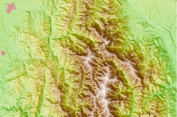
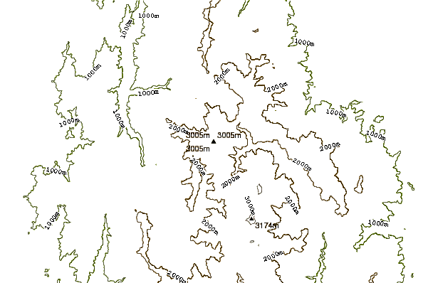
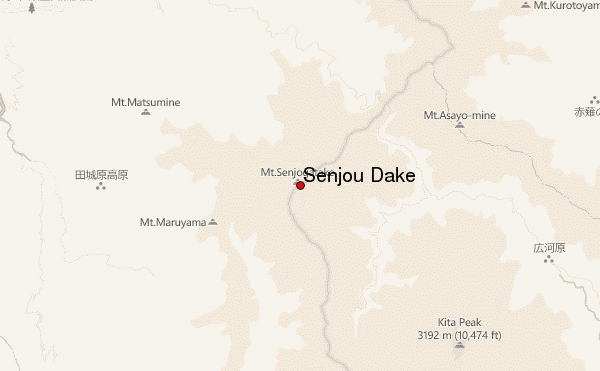
Use this relief map to navigate to mountain peaks in the area of Senjou Dake.
10 other mountain peaks closest to Senjou Dake:
| 1. | 仙丈小屋 (2884 m) | 0.4 km |
| 2. | 馬の背ヒュッテ (2639 m) | 1.2 km |
| 3. | 大平山荘 (1964 m) | 3.4 km |
| 4. | 長衛小屋 (1989 m) | 3.6 km |
| 5. | こもれび山荘 (2044 m) | 3.7 km |
| 6. | 仙水小屋 (2146 m) | 4.6 km |
| 7. | 両俣小屋 (2020 m) | 5.3 km |
| 8. | Kai-Komagatake (2967 m) | 6.4 km |
| 9. | 北岳肩の小屋 (3008 m) | 6.6 km |
| 10. | Mount Nokogiri (Akaishi) (2685 m) | 7.0 km |