– Lat/Long: 42.16° N 74.08° W
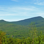
 Kaaterskill High Peak – Climbing, Hiking & Mountaineering information

Kaaterskill High Peak Guide
- Elevation: 1114
- Difficulty: -
- Best months to climb: -
- Convenient center: -
Kaaterskill High Peak climbers NotesBe the first to submit your climbers note! Please submit any useful information about climbing Kaaterskill High Peak that may be useful to other climbers. Consider things such as access and accommodation at the base of Kaaterskill High Peak, as well as the logistics of climbing to the summit. |
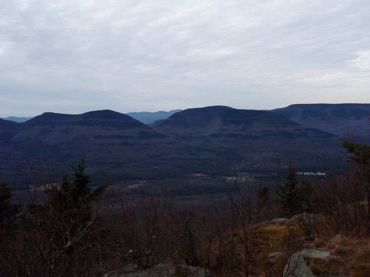
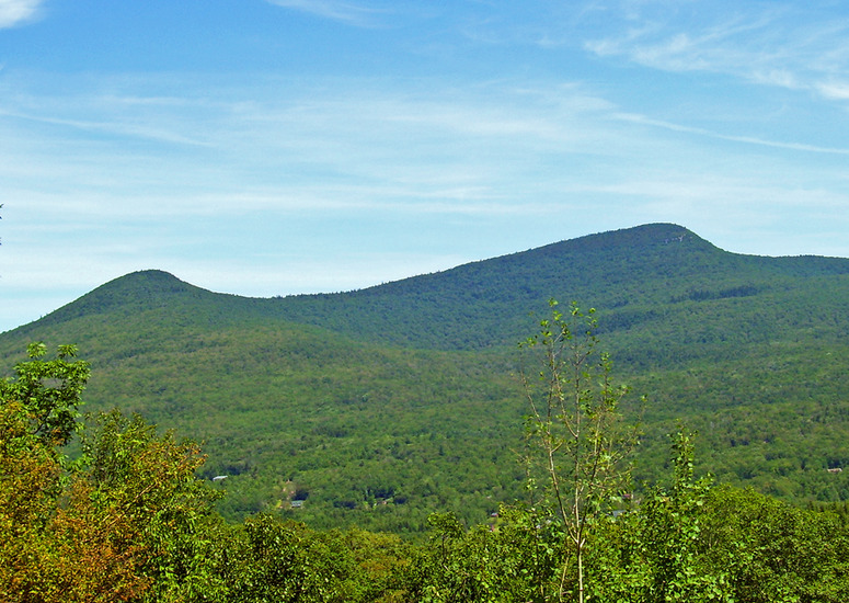
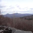
Latest Gallery Images for Kaaterskill High Peak
click to view
| Select a
mountain summit from the menu |
||
|
Select a Mountain Summit
|
||
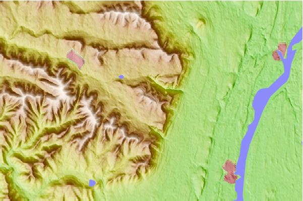
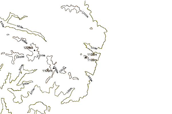
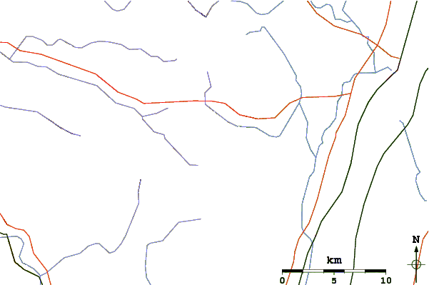
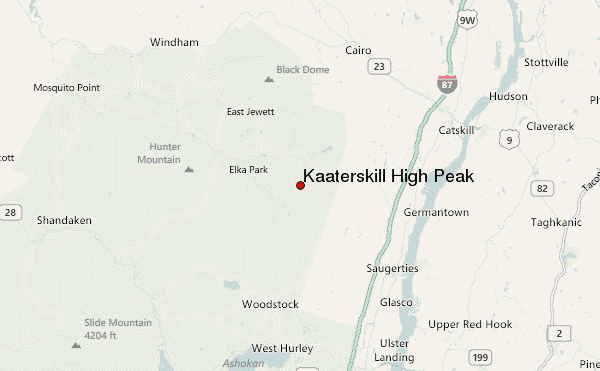
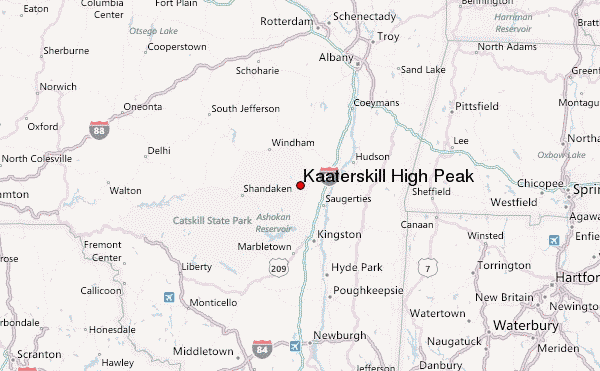
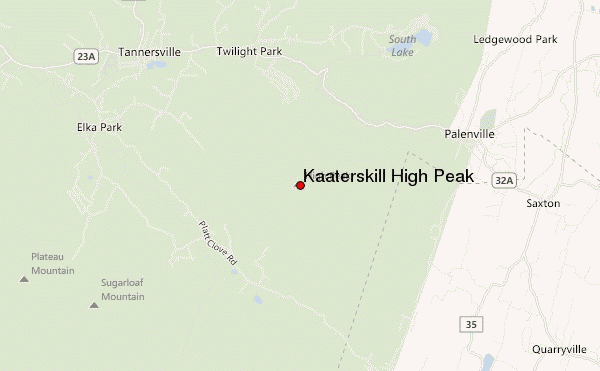
Use this relief map to navigate to mountain peaks in the area of Kaaterskill High Peak.
10 other mountain peaks closest to Kaaterskill High Peak:
| 1. | Twin Mountain (Greene County, New York) (1112 m) | 5.7 km |
| 2. | Indian Head Mountain (New York) (1089 m) | 5.9 km |
| 3. | Sugarloaf Mountain (Greene County, New York) (1161 m) | 6.7 km |
| 4. | North Mountain (Catskills) (969 m) | 6.7 km |
| 5. | Plateau Mountain (New York) (1170 m) | 8.2 km |
| 6. | Overlook Mountain (957 m) | 8.5 km |
| 7. | Blackhead (New York) (1204 m) | 12.0 km |
| 8. | Hunter Mountain (New York) (1234 m) | 12.5 km |
| 9. | Black Dome (New York) (1216 m) | 12.5 km |
| 10. | Thomas Cole Mountain (1204 m) | 13.0 km |