– Lat/Long: 42.13° N 74.15° W
 Sugarloaf Mountain (Greene County, New York) – Climbing, Hiking & Mountaineering information

Sugarloaf Mountain (Greene County, New York) Guide
- Elevation: 1161
- Difficulty: -
- Best months to climb: -
- Convenient center: -
Sugarloaf Mountain (Greene County, New York) climbers NotesBe the first to submit your climbers note! Please submit any useful information about climbing Sugarloaf Mountain (Greene County, New York) that may be useful to other climbers. Consider things such as access and accommodation at the base of Sugarloaf Mountain (Greene County, New York), as well as the logistics of climbing to the summit. |
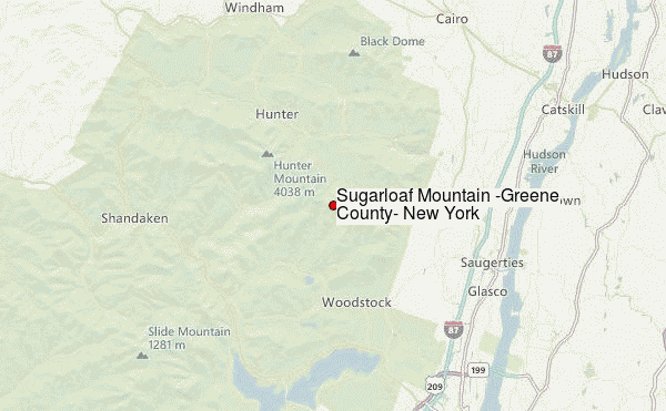
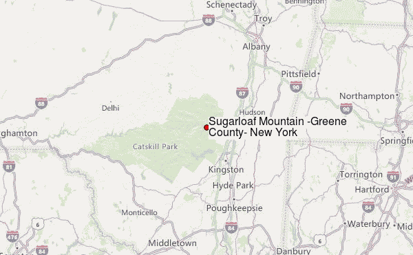
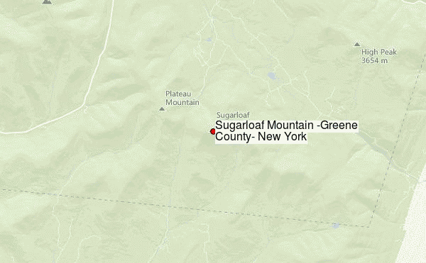
Select Sugarloaf Mountain (Greene County, New York) Location Map Detail:
| Select a
mountain summit from the menu |
||
|
Select a Mountain Summit
|
||
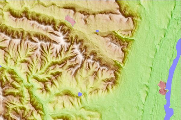
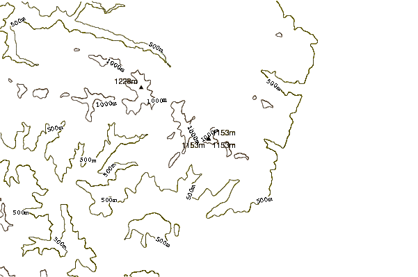
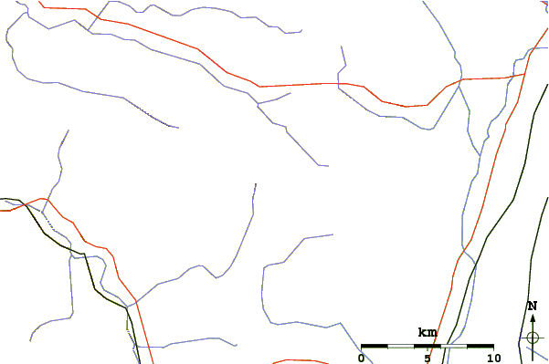
Use this relief map to navigate to mountain peaks in the area of Sugarloaf Mountain (Greene County, New York).
10 other mountain peaks closest to Sugarloaf Mountain (Greene County, New York):
| 1. | Twin Mountain (Greene County, New York) (1112 m) | 1.8 km |
| 2. | Plateau Mountain (New York) (1170 m) | 2.1 km |
| 3. | Indian Head Mountain (New York) (1089 m) | 3.3 km |
| 4. | Kaaterskill High Peak (1114 m) | 6.7 km |
| 5. | Overlook Mountain (957 m) | 6.9 km |
| 6. | Hunter Mountain (New York) (1234 m) | 8.4 km |
| 7. | Southwest Hunter Mountain (1143 m) | 8.5 km |
| 8. | West Kill Mountain (1186 m) | 12.3 km |
| 9. | Mount Tremper (835 m) | 12.3 km |
| 10. | North Mountain (Catskills) (969 m) | 12.8 km |