K2 Guide

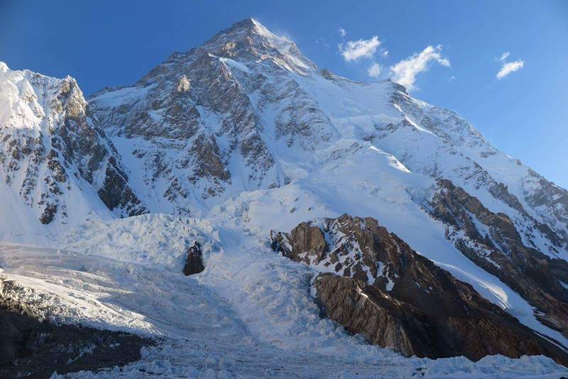
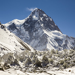
K2
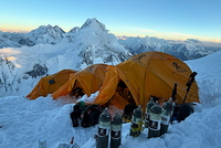
Photo credit: abbas
K2
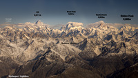
Photo credit: Alpinist Climber Expeditions - ACE
K2
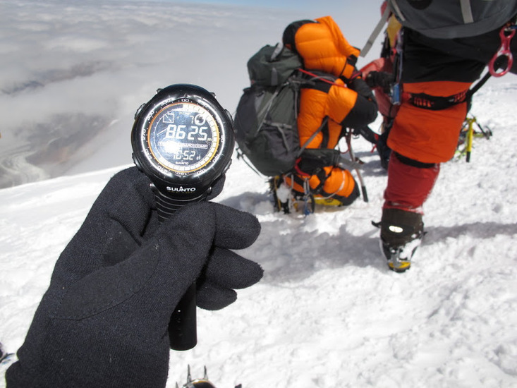
Photo credit: Tahir Khan Kayani
- Elevation: 8612
- Difficulty: Major Mountain Expedition
- Best months to climb: June, July, August
- Convenient center: Skardu, Pakistan
K2 climbers Notes
Ali from PAKISTAN writes:
Trekking to the base of K2 is an incredible journey through the heart of the Karakoram. Most trekkers access the route from Skardu and follow the Baltoro Glacier trail, which passes some of the most spectacular peaks in the world such as Broad Peak and Gasherbrum IV.
Weather in this region can change very quickly, even during the summer trekking season, so proper acclimatization and experienced local support are very important. Trekkers should plan their logistics carefully, including permits, porters, and guides. Local trekking operators in Skardu such as Skardu Trekkers regularly organize Baltoro Glacier and K2 Base Camp expeditions and can provide useful information about preparation, equipment, and trekking seasons.
The journey is demanding but incredibly rewarding, offering one of the most spectacular high-mountain landscapes on Earth.
2026-03-16 |
Click here to read 3 more climbing notes for K2 or submit your own
|
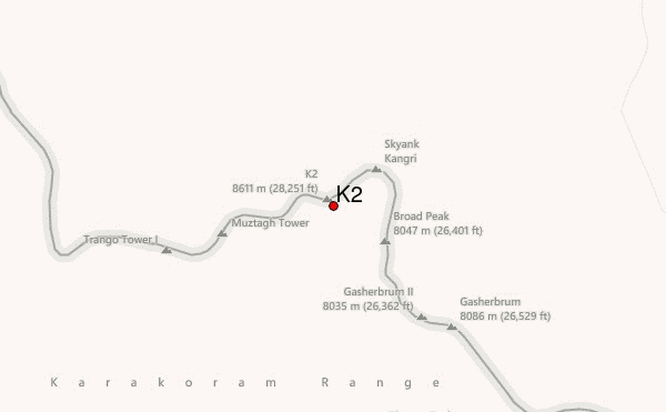
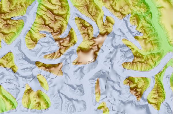
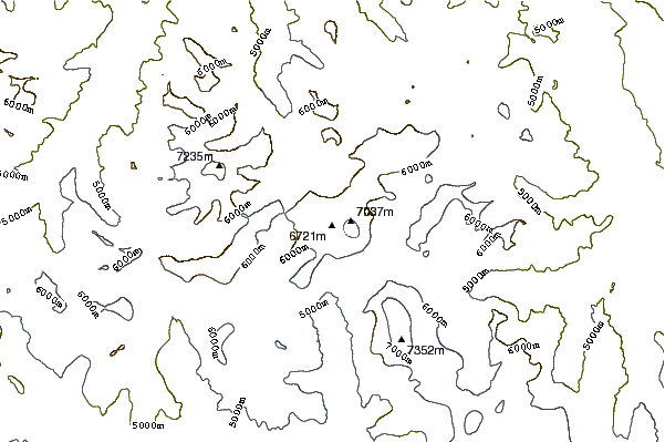
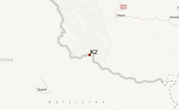
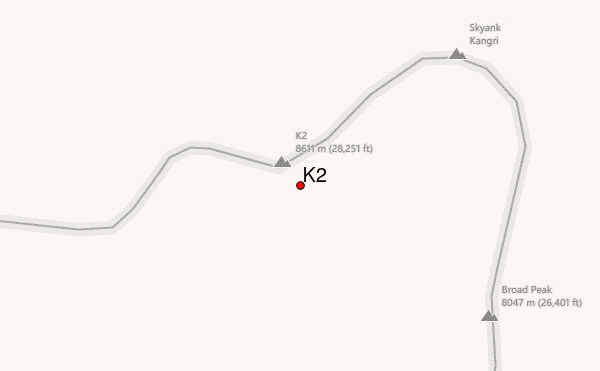
Select K2 Location Map Detail:
Use this relief map to navigate to mountain peaks in the area of K2.
10 other mountain peaks closest to K2:
 K2 – Climbing, Hiking & Mountaineering information


