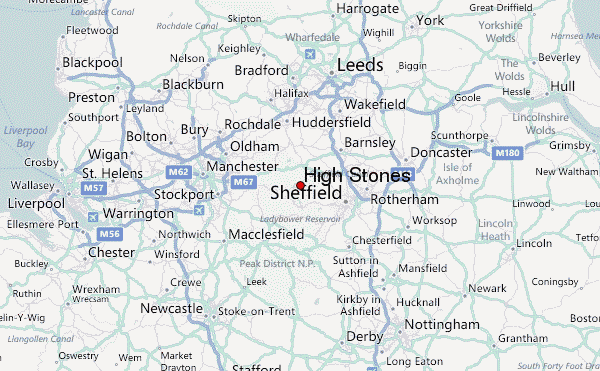
– Lat/Long: 53.44° N 1.72° W
 High Stones – Climbing, Hiking & Mountaineering information

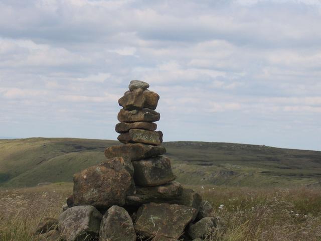
High Stones Guide
- Elevation: 548
- Difficulty: -
- Best months to climb: -
- Convenient center: -
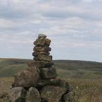
High Stones climbers Notes
|
| Select a
mountain summit from the menu |
||
|
Select a Mountain Summit
|
||
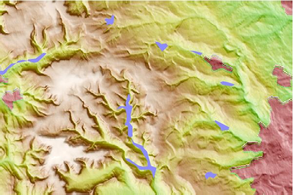
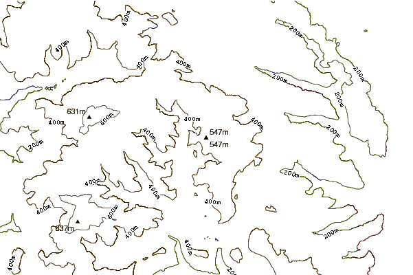
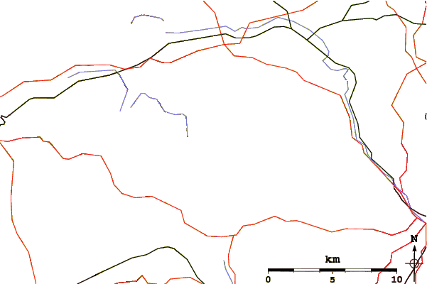
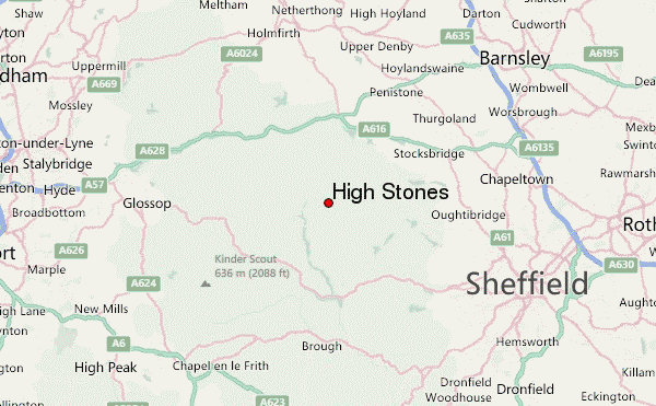
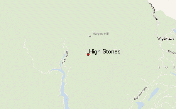
Use this relief map to navigate to mountain peaks in the area of High Stones.
10 other mountain peaks closest to High Stones:
| 1. | Margery Hill (546 m) | 1.4 km |
| 2. | Derwent Edge (538 m) | 3.5 km |
| 3. | Crook Hill (382 m) | 7.5 km |
| 4. | Win Hill (462 m) | 9.2 km |
| 5. | Lose Hill (476 m) | 9.6 km |
| 6. | Bleaklow (633 m) | 9.8 km |
| 7. | Grindslow Knoll (601 m) | 10.9 km |
| 8. | Kinder Scout (636 m) | 12.0 km |
| 9. | Stanage Edge (458 m) | 12.3 km |
| 10. | Mam Tor (517 m) | 12.7 km |