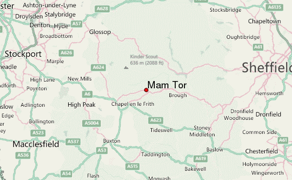
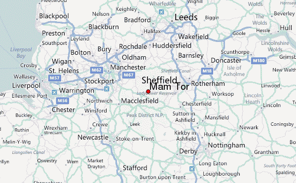
– Lat/Long: 53.35° N 1.82° W
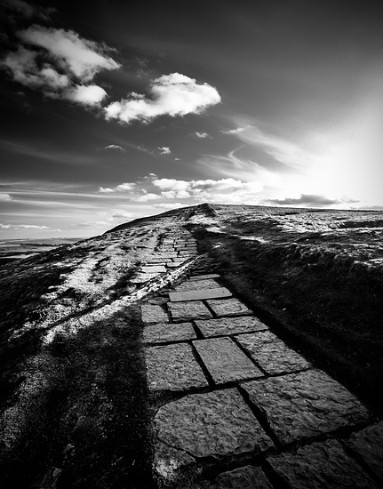
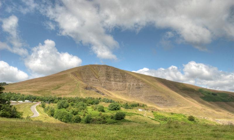
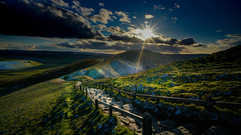
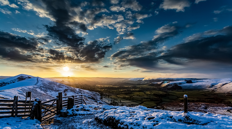
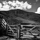
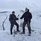
 Mam Tor – Climbing, Hiking & Mountaineering information

Mam Tor Guide

- Elevation: 517
- Difficulty: Walk up
- Best months to climb: May, June, July, August
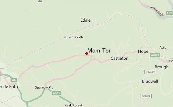
- Convenient center: Glossop
Mam Tor climbers NotesBe the first to submit your climbers note! Please submit any useful information about climbing Mam Tor that may be useful to other climbers. Consider things such as access and accommodation at the base of Mam Tor, as well as the logistics of climbing to the summit. |


| Select a
mountain summit from the menu |
||
|
Select a Mountain Summit
|
||
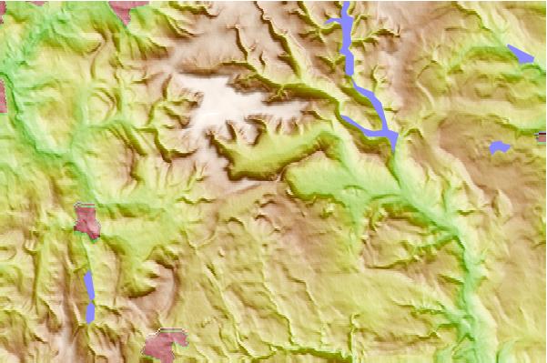
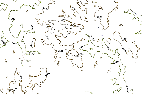
Use this relief map to navigate to mountain peaks in the area of Mam Tor.
10 other mountain peaks closest to Mam Tor:
| 1. | Rushup Edge (546 m) | 1.0 km |
| 2. | Eldon Hill (470 m) | 2.4 km |
| 3. | Lose Hill (476 m) | 3.5 km |
| 4. | Grindslow Knoll (601 m) | 3.8 km |
| 5. | Kinder Scout (636 m) | 5.3 km |
| 6. | Win Hill (462 m) | 6.4 km |
| 7. | Crook Hill (382 m) | 6.9 km |
| 8. | Derwent Edge (538 m) | 10.6 km |
| 9. | Lantern Pike (373 m) | 10.9 km |
| 10. | Stanage Edge (458 m) | 12.1 km |
