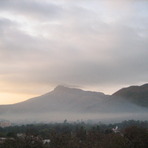
Girnar Peak Guide
- Elevation: 1031
- Difficulty: -
- Best months to climb: -
- Convenient center: -
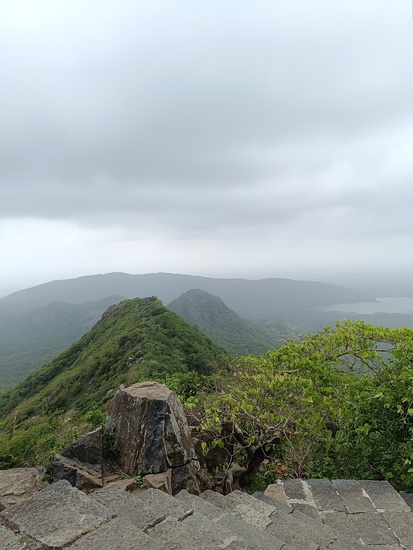
Girnar Peak climbers Notes
Rashmi from INDIA writes:
Best time to start climbing is after midnight carry one bottle of water 1 litre, woolens, cap and pain relief spray. Few chocolates, while taking break while climbing don't sit to take rest better to stand with support ,for few minutes, and start walking, it's very easier way of climbing and wear comfortable clothes and rather than having sports shoes use shoes made from cloth (not canvas shoes.)and a pair of socks,
2018-12-29 |
Click here to submit your own climbing note for Girnar Peak
|
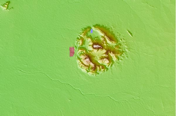
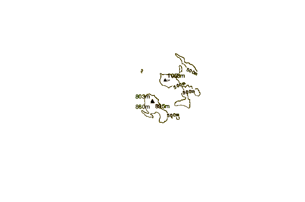
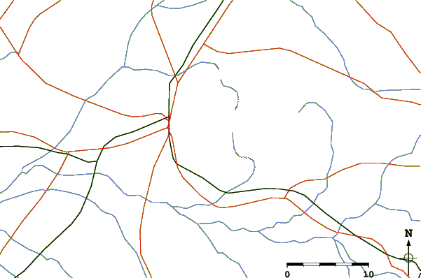
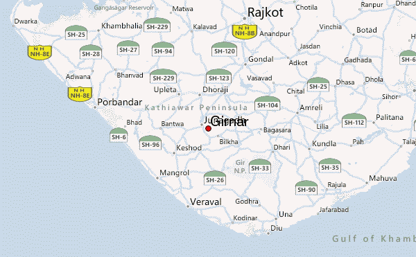
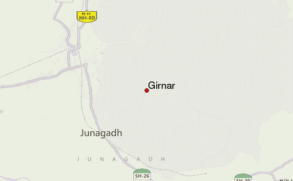
Select Girnar Peak Location Map Detail:
Use this relief map to navigate to mountain peaks in the area of Girnar Peak.
10 other mountain peaks closest to Girnar Peak:
 Girnar Peak – Climbing, Hiking & Mountaineering information