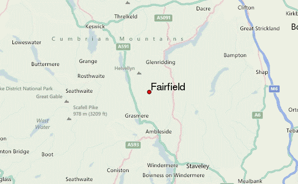
– Lat/Long: 54.50° N 2.99° W
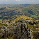
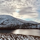
 Fairfield – Climbing, Hiking & Mountaineering information

Fairfield Guide
- Elevation: 873
- Difficulty: Walk up
- Best months to climb: January, February, March, April, May, June, July, August, September, October, November, December
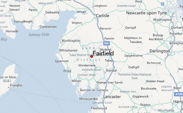
- Convenient center: Ambleside
Fairfield climbers NotesBe the first to submit your climbers note! Please submit any useful information about climbing Fairfield that may be useful to other climbers. Consider things such as access and accommodation at the base of Fairfield, as well as the logistics of climbing to the summit. |


| Select a
mountain summit from the menu |
||
|
Select a Mountain Summit
|
||
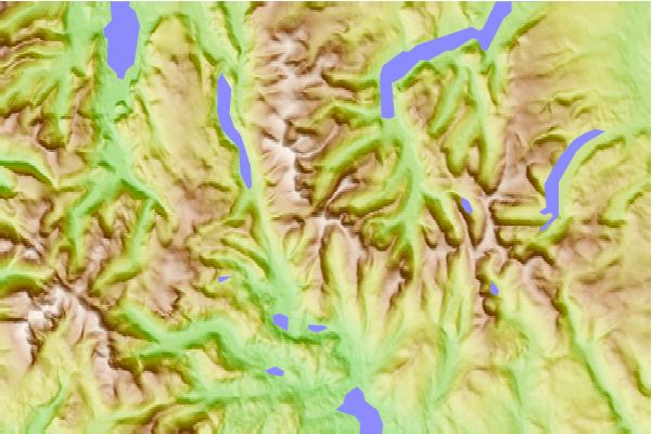
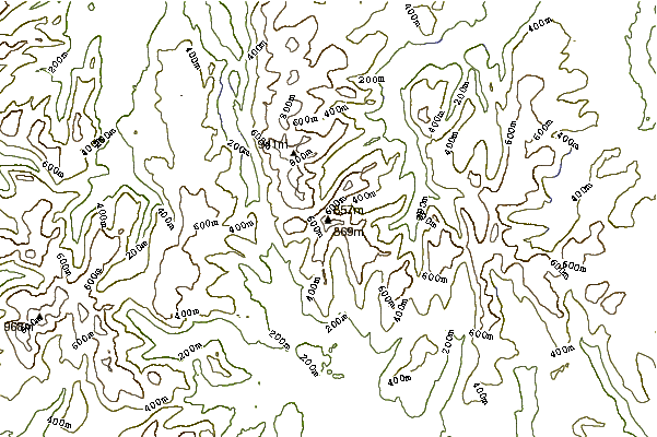
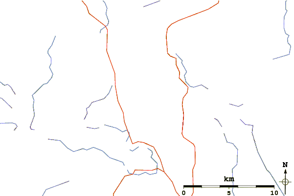
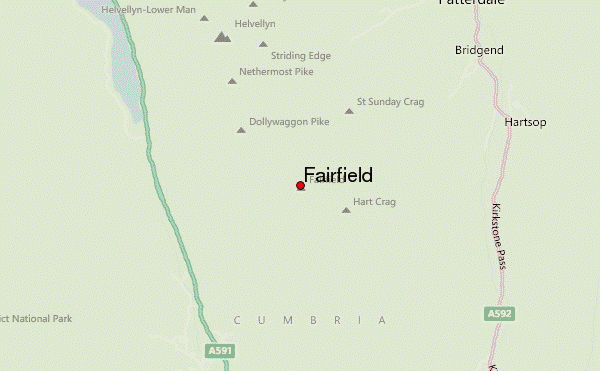
Use this relief map to navigate to mountain peaks in the area of Fairfield.
10 other mountain peaks closest to Fairfield:
| 1. | Hart Crag (822 m) | 1.1 km |
| 2. | Great Rigg (766 m) | 1.4 km |
| 3. | Seat Sandal (736 m) | 1.6 km |
| 4. | Dollywaggon Pike (858 m) | 1.8 km |
| 5. | Dove Crag (792 m) | 2.0 km |
| 6. | St Sunday Crag (841 m) | 2.0 km |
| 7. | High Crag (Helvellyn) (884 m) | 2.5 km |
| 8. | Hartsop above How (586 m) | 2.5 km |
| 9. | Stone Arthur (503 m) | 2.7 km |
| 10. | Nethermost Pike (891 m) | 2.9 km |