Campbell Hill (Ohio) Guide
- Elevation: 472
- Difficulty: -
- Best months to climb: -
- Convenient center: -
Campbell Hill (Ohio) climbers Notes
Kevin from UNITED STATES writes:
A full down suit, ice axe and crampons are necessary 24x7x365.
[Editor writes: thanks for that Kevin! Even so, today, New Year's Day 2018, is one of those sub-0F winter days when a full down suit might be about right]
2017-12-02 |
Click here to submit your own climbing note for Campbell Hill (Ohio)
|
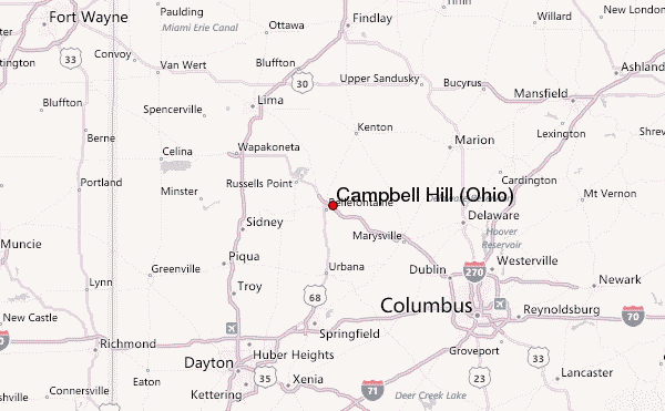
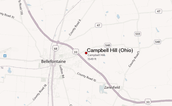
Select Campbell Hill (Ohio) Location Map Detail:
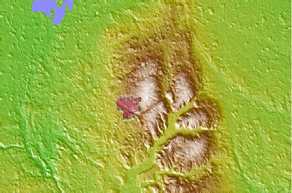
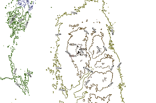
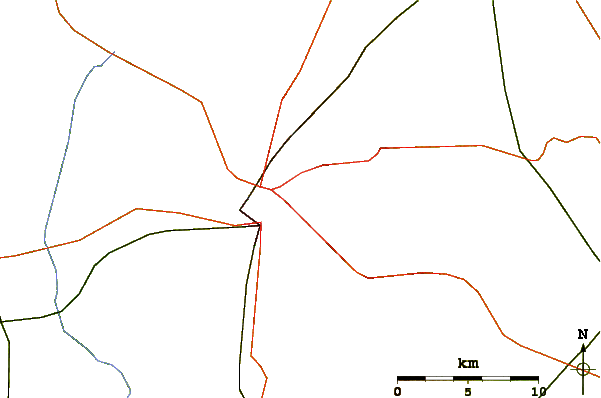
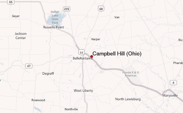
Use this relief map to navigate to mountain peaks in the area of Campbell Hill (Ohio).
10 other mountain peaks closest to Campbell Hill (Ohio):
 Campbell Hill (Ohio) – Climbing, Hiking & Mountaineering information