– Lat/Long: 41.65° N 85.35° W
 The Knob (Indiana) – Climbing, Hiking & Mountaineering information

The Knob (Indiana) Guide
- Elevation: 316
- Difficulty: -
- Best months to climb: -
- Convenient center: -
The Knob (Indiana) climbers NotesBe the first to submit your climbers note! Please submit any useful information about climbing The Knob (Indiana) that may be useful to other climbers. Consider things such as access and accommodation at the base of The Knob (Indiana), as well as the logistics of climbing to the summit. |
| Select a
mountain summit from the menu |
||
|
Select a Mountain Summit
|
||
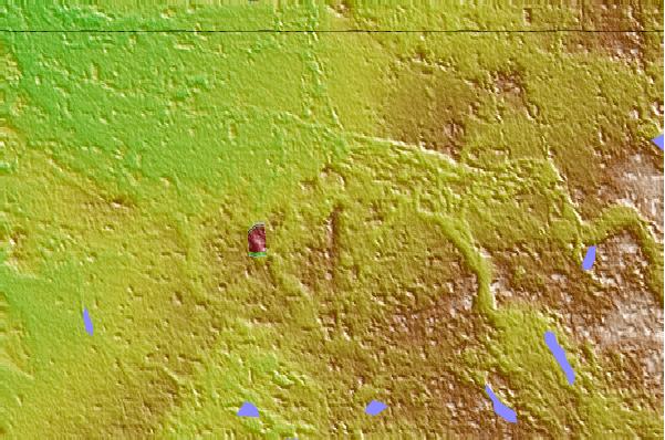
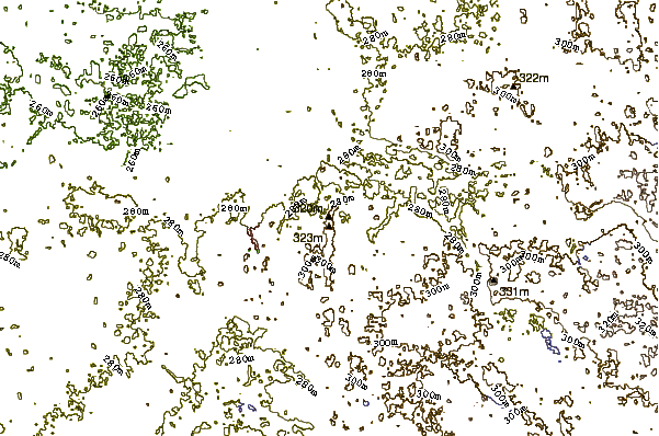
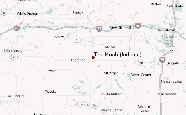
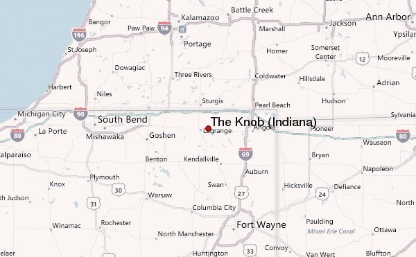
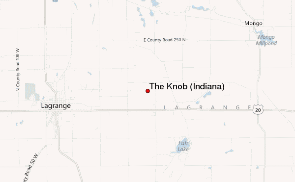
Use this relief map to navigate to mountain peaks in the area of The Knob (Indiana).
10 other mountain peaks closest to The Knob (Indiana):
| 1. | Sand Hill (Noble County, Indiana) (328 m) | 18.7 km |
| 2. | Hoosier Hill (383 m) | 188.7 km |
| 3. | Campbell Hill (Ohio) (472 m) | 197.9 km |
| 4. | Weed Patch Hill (322 m) | 286.1 km |
| 5. | Little Switzerland Bike Park (373 m) | 304.5 km |
| 6. | Cross Country Ski HQ (366 m) | 319.0 km |
| 7. | Forbush Corner Nordic (381 m) | 350.9 km |
| 8. | Boler Mountain (321 m) | 360.3 km |
| 9. | Jeptha Knob (1188 m) | 387.3 km |
| 10. | Boyne Mountain Resort (359 m) | 392.3 km |