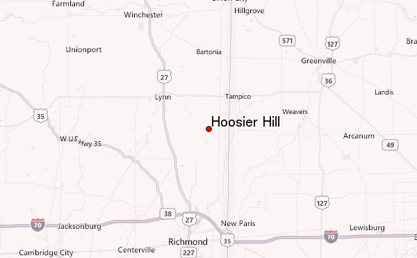
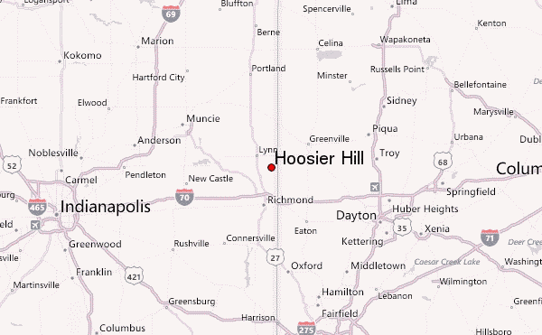
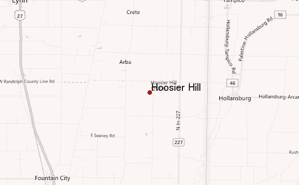
– Lat/Long: 40.00° N 84.85° W
 Hoosier Hill – Climbing, Hiking & Mountaineering information

Hoosier Hill Guide
- Elevation: 383
- Difficulty: -
- Best months to climb: -
- Convenient center: -
Hoosier Hill climbers NotesBe the first to submit your climbers note! Please submit any useful information about climbing Hoosier Hill that may be useful to other climbers. Consider things such as access and accommodation at the base of Hoosier Hill, as well as the logistics of climbing to the summit. |
| Select a
mountain summit from the menu |
||
|
Select a Mountain Summit
|
||
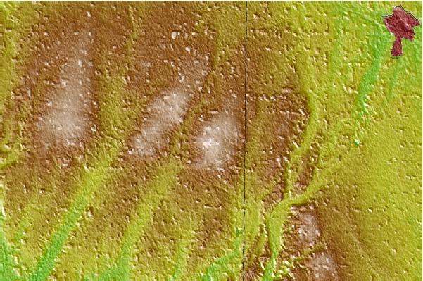
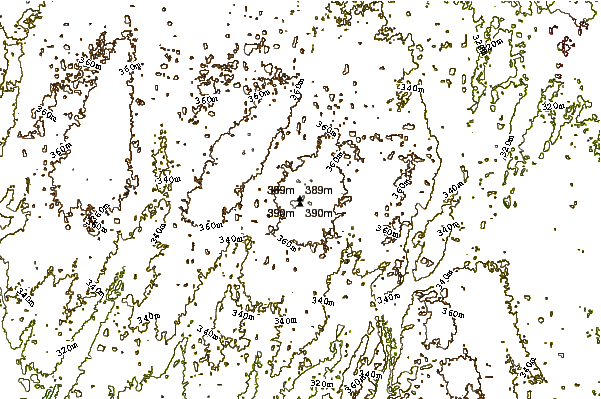
Use this relief map to navigate to mountain peaks in the area of Hoosier Hill.
10 other mountain peaks closest to Hoosier Hill:
| 1. | Campbell Hill (Ohio) (472 m) | 104.5 km |
| 2. | Weed Patch Hill (322 m) | 149.5 km |
| 3. | Sand Hill (Noble County, Indiana) (328 m) | 171.4 km |
| 4. | The Knob (Indiana) (316 m) | 188.7 km |
| 5. | Jeptha Knob (1188 m) | 204.1 km |
| 6. | Sugarloaf Mountain (Rowan County, Kentucky) (411 m) | 228.7 km |
| 7. | Stuffley Knob (Johnson County, Kentucky) (456 m) | 298.1 km |
| 8. | Buffalo Mountain (1210 m) | 342.7 km |
| 9. | Pine Mountain (Appalachian Mountains) (998 m) | 370.6 km |
| 10. | Tower Hill Trail Center (416 m) | 378.3 km |