– Lat/Long: 37.92° S 71.45° W
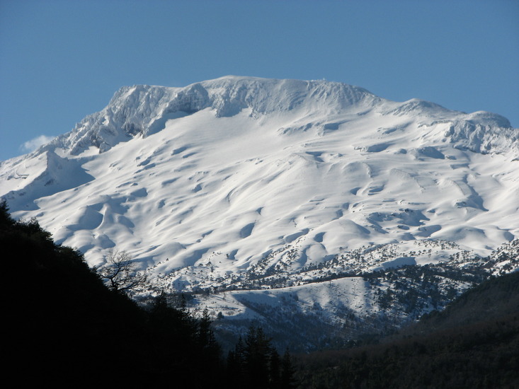
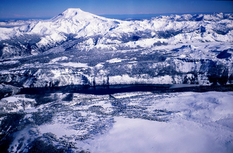
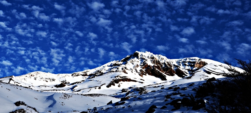
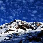
 Callaqui – Climbing, Hiking & Mountaineering information

Callaqui Guide
- Elevation: 3164
- Difficulty: -
- Best months to climb: -
- Convenient center: -
Callaqui climbers Notes
|
| Select a
mountain summit from the menu |
||
|
Select a Mountain Summit
|
||
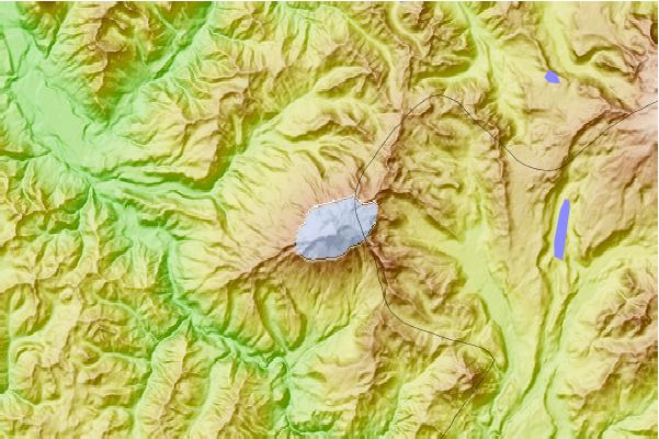
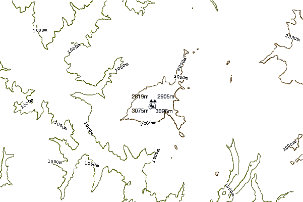
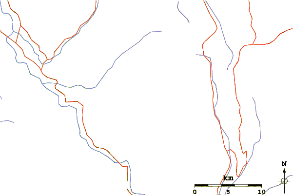
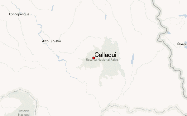
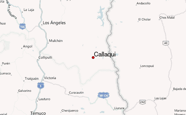
Use this relief map to navigate to mountain peaks in the area of Callaqui.
10 other mountain peaks closest to Callaqui:
| 1. | Copahue (2965 m) | 24.4 km |
| 2. | Tolguaca (2806 m) | 46.6 km |
| 3. | Sierra Velluda (3585 m) | 50.4 km |
| 4. | Tolhuaca (2806 m) | 50.7 km |
| 5. | Lonquimay (2890 m) | 52.1 km |
| 6. | Antuco (2953 m) | 57.9 km |
| 7. | Antuco Volcano (2979 m) | 57.9 km |
| 8. | Cerro Chapulul (2143 m) | 59.6 km |
| 9. | Sierra Nevada (stratovolcano) (2554 m) | 74.7 km |
| 10. | Llaima (3125 m) | 89.3 km |