Lonquimay Guide

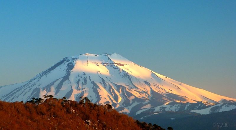
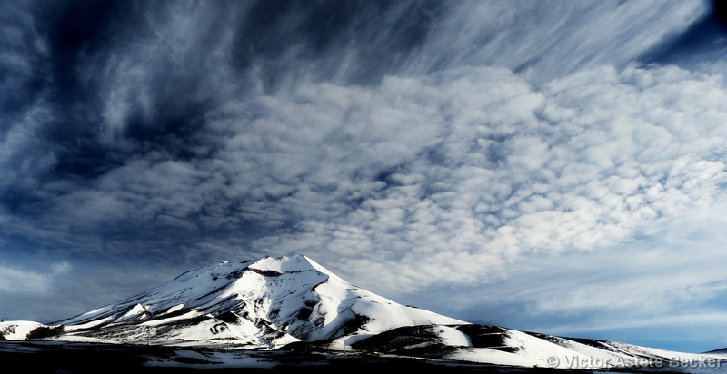
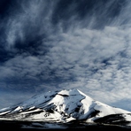
Lonquimay
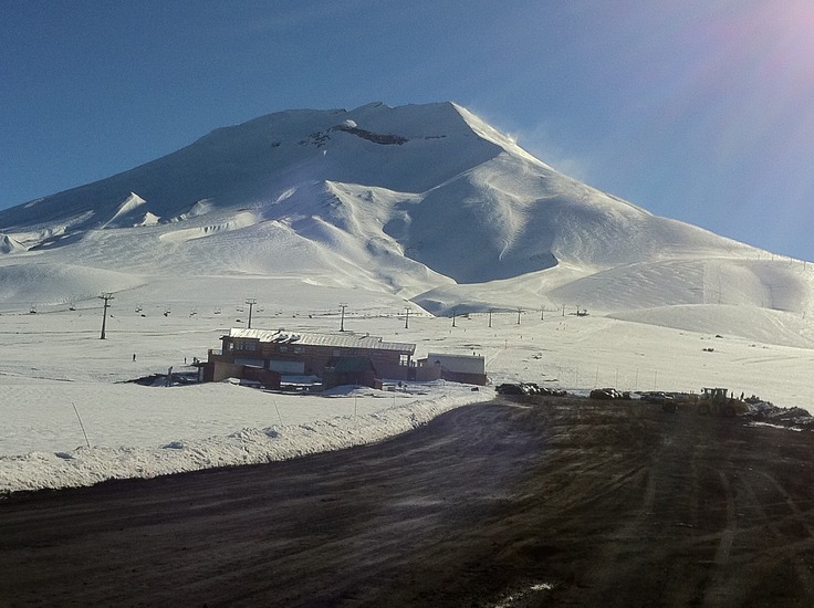
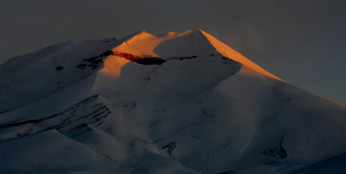
Photo credit: Suizandina Lodge, Malalcahuello, Chile
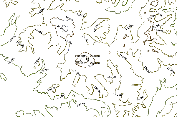
- Elevation: 2890
- Difficulty: Basic Snow and Ice Climb
- Best months to climb: September, October, November, December
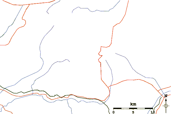
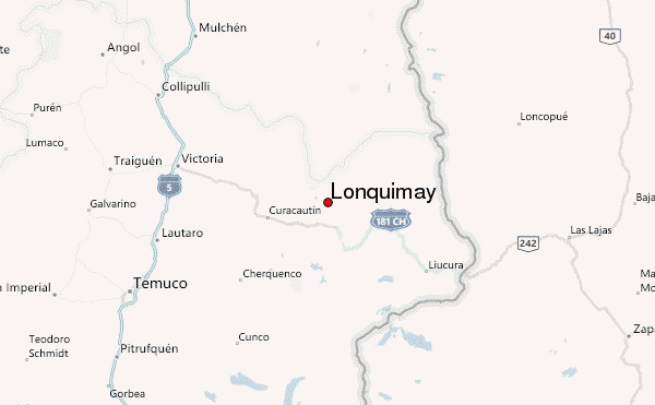
- Convenient center: Curacautin
Lonquimay climbers Notes
Lavinia Schofield from CHILE writes:
Summer description of the climb.
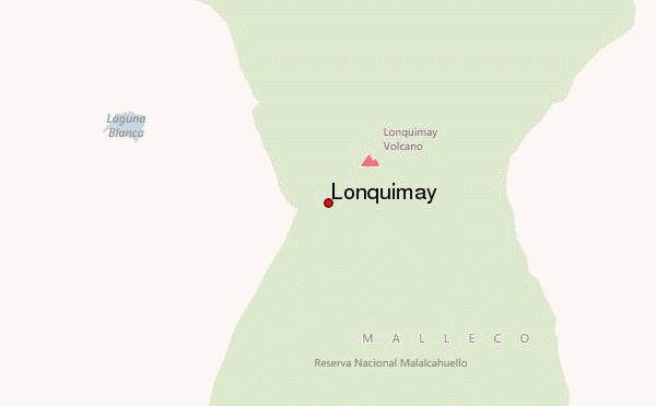
Located within Reserva Nacional Malalcahuello. The town nearby (10km) is a great place to stay and many tourist accommodations such as ours (chilewild.com) offer a shuttle service to the base of the climb. You could also stay in luxury at the base of the volcano in Hotel Corralco. Camping is permitted in the park but there isn't any water close by.
The climb starts at the start of the walk to Crater Navidad, approximately 5km from the park office. You can park by the side of the road. The blue posts mark the Crater Navidad walk that go off in a northerly direction. Look for a faint line on the same dune above and to the left of the first pole; that is your track.The track goes across a grey sand dune towards the chairlift and 4WD track that zig zags up to the end of the chairlift. Join the dirt road and walk up to the cement housing of the end of the chairlift. From there it is useful to have walking poles as it is a rocky scree slope and very steep in parts.Follow the ridge up to the top where you can enjoy views into the Crater and across to surrounding volcanoes. The climb from the start of the track takes approximately 5 hours return for a person of average fitness.
The return from the top to the cement housing of the chairlift is easy if you enjoy running down scree slopes. If not, you are likely to find it a little tricky. It's easy to stumble so take bandaids to patch the grazes. Retrace your steps to start of track. The alpine plants are very fragile so it's good to use the track where it exists. If you start from Hotel Corralco, it may take a little longer.
Be prepared for strong, cold winds and try and plan it for a clear weather day. If there is snow or ice, cramping, helmet and ice ads should be used. This is a summer description.
2016-06-18 |
Click here to read 1 more climbing note for Lonquimay or submit your own
|
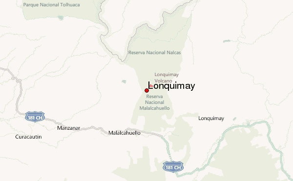
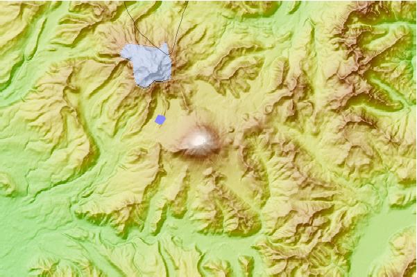
Select Lonquimay Location Map Detail:
Use this relief map to navigate to mountain peaks in the area of Lonquimay.
10 other mountain peaks closest to Lonquimay:
 Lonquimay – Climbing, Hiking & Mountaineering information
