– Lat/Long: 37.41° S 71.35° W
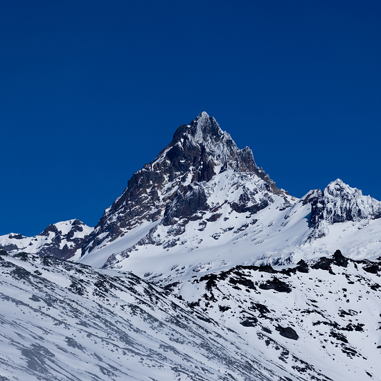
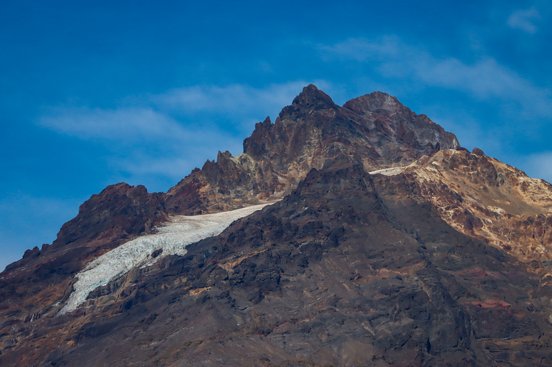
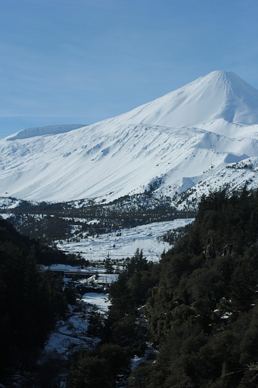
 Antuco Volcano – Climbing, Hiking & Mountaineering information

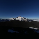
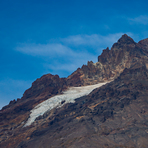
Antuco Volcano Guide
- Elevation: 2979
- Difficulty: -
- Best months to climb: -
- Convenient center: -
Antuco Volcano climbers Notes
Click here to submit your own climbing note for Antuco Volcano |
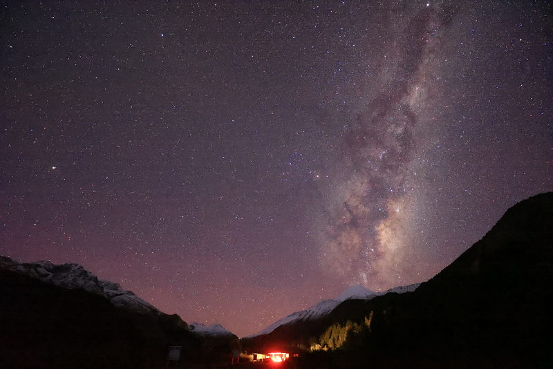
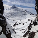
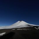
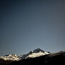
Latest Gallery Images for Antuco Volcano
| Select a
mountain summit from the menu |
||
|
Select a Mountain Summit
|
||
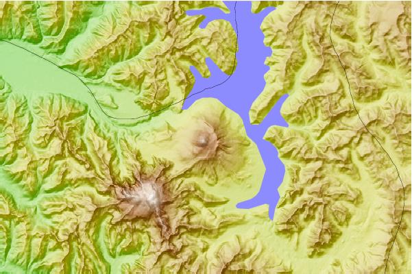
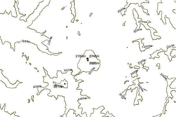
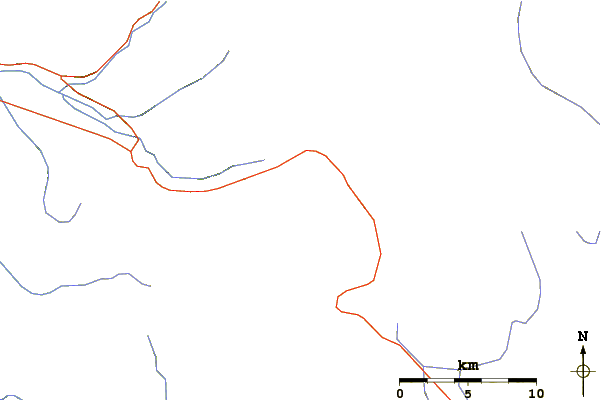
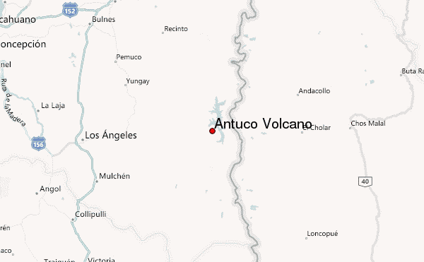
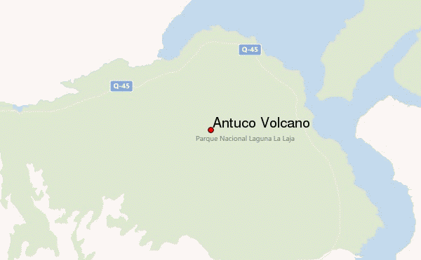
Use this relief map to navigate to mountain peaks in the area of Antuco Volcano.
10 other mountain peaks closest to Antuco Volcano:
| 1. | Antuco (2953 m) | 0.0 km |
| 2. | Sierra Velluda (3585 m) | 10.1 km |
| 3. | Copahue (2965 m) | 52.5 km |
| 4. | Nevados de Chillán (1987 m) | 55.8 km |
| 5. | Callaqui (3164 m) | 57.9 km |
| 6. | Nevados de Chillán (3212 m) | 60.5 km |
| 7. | Domuyo (4709 m) | 75.5 km |
| 8. | Tolguaca (2806 m) | 103.9 km |
| 9. | Tolhuaca (2806 m) | 105.4 km |
| 10. | Cerro Chapulul (2143 m) | 109.9 km |