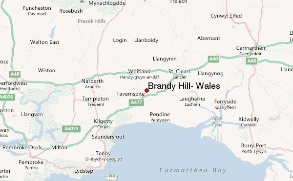
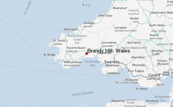
– Lat/Long: 51.79° N 4.59° W
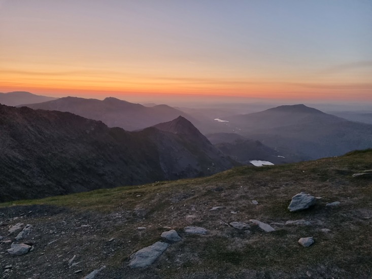
 Brandy Hill, Wales – Climbing, Hiking & Mountaineering information

Brandy Hill, Wales Guide
- Elevation: 205
- Difficulty: -
- Best months to climb: -
- Convenient center: -
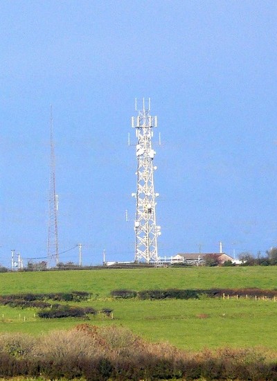
Brandy Hill, Wales climbers NotesBe the first to submit your climbers note! Please submit any useful information about climbing Brandy Hill, Wales that may be useful to other climbers. Consider things such as access and accommodation at the base of Brandy Hill, Wales, as well as the logistics of climbing to the summit. |
| Select a
mountain summit from the menu |
||
|
Select a Mountain Summit
|
||
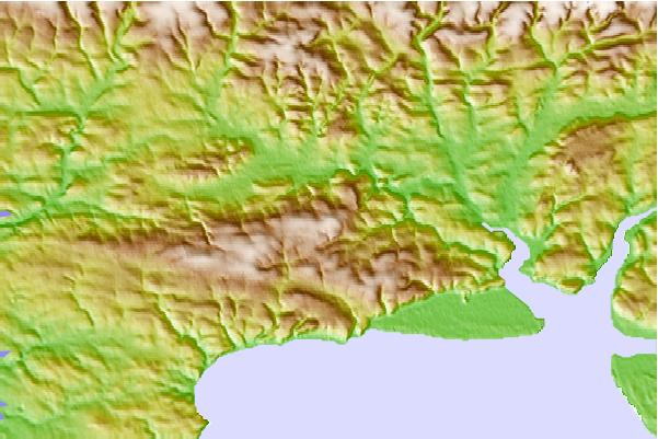
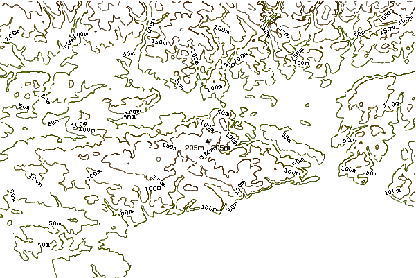
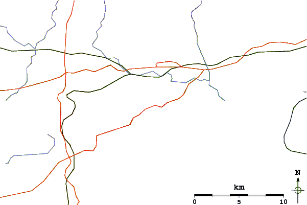
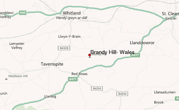
Use this relief map to navigate to mountain peaks in the area of Brandy Hill, Wales.
10 other mountain peaks closest to Brandy Hill, Wales:
| 1. | Foel Cwmcerwyn (536 m) | 22.7 km |
| 2. | Mynydd Carningli (347 m) | 28.0 km |
| 3. | Rhossili Down (193 m) | 32.1 km |
| 4. | Cefn Bryn (186 m) | 39.0 km |
| 5. | Mynydd y Betws (374 m) | 45.1 km |
| 6. | Mynydd y Gwair (373 m) | 45.2 km |
| 7. | Kilvey Hill (190 m) | 49.7 km |
| 8. | Garreg Lwyd (Black Mountain) (616 m) | 52.7 km |
| 9. | Foel Fraith (602 m) | 54.5 km |
| 10. | Mynydd Marchywel (417 m) | 56.2 km |