Mynydd Marchywel Guide
- Elevation: 417
- Difficulty: Walk up
- Best months to climb: All year round. Best in winter following snow.
- Convenient center: -
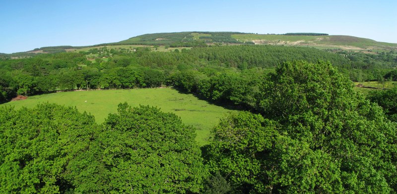
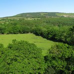
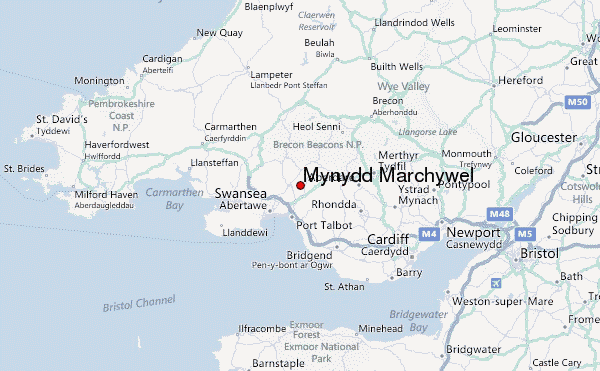
Mynydd Marchywel (Hywel’s Stallion) is one of a series of stepped escarpments that rise to heights of over a 1,000 feet across the region, giving the South Wales landscape its areas of wild, barren moorland. It lies on the eastern side of the famed Swansea Valley, carved out by enormous glaciers during the last ice age.
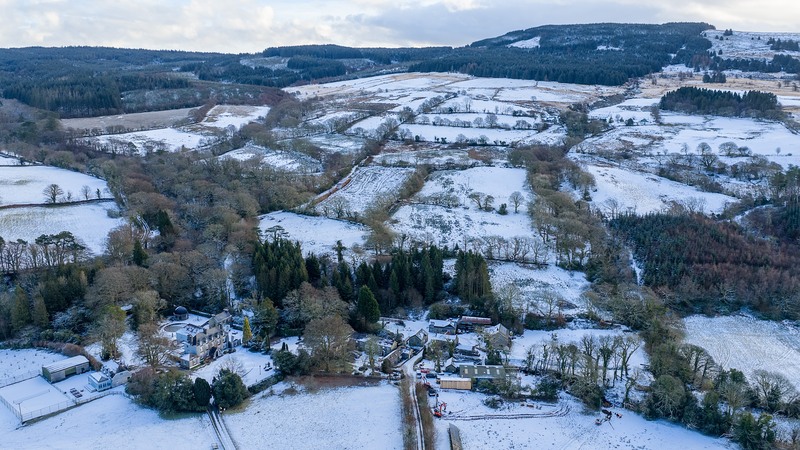
The summit of the mountain is marked by three prehistoric funerary and ritual stone circles. You will need to zig-zag along the forestry roads atop the mountain to find them. There are stunning views of the Bristol Channel, the Devon coastline, the Swansea Valley and Brecon Beacons National Park. A great way to access the summit is to stay at Plas Farm in the small hamlet of Cilybebyll. The farm lies on the western slopes of the mountain and is home of Swansea Valley Holiday Cottages. They have guided walks from the doorstep.
Mynydd Marchywel climbers Notes
NR from UNITED KINGDOM writes:
I climbed this mountain with Richard from his farm at the foot of the mountain. Parts of the ascent were remarkably steep, but the spectacular views from the top are well worth it on a clear day.
Also recommended are night time ascents where, on a cold, frosty evening, the steelworks at Port Talbot glow like some evil volcano from Lord of the Rings.
It's slightly odd being on a summit surrounded by trees, however the archaeology up there transport the visitor's mind back to another time in history.
2010-04-21 |
Click here to submit your own climbing note for Mynydd Marchywel
|
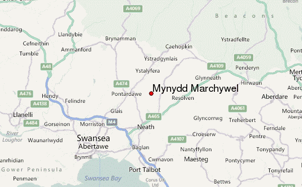
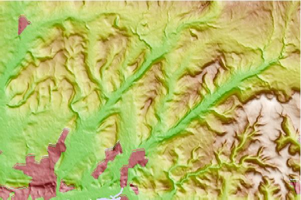
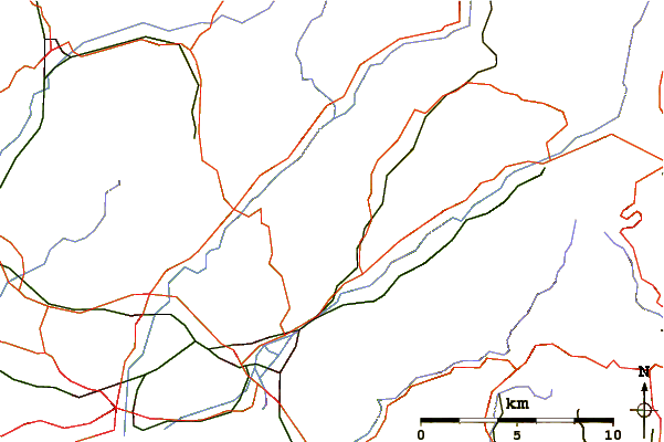
Select Mynydd Marchywel Location Map Detail:
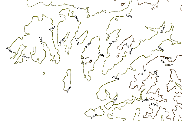
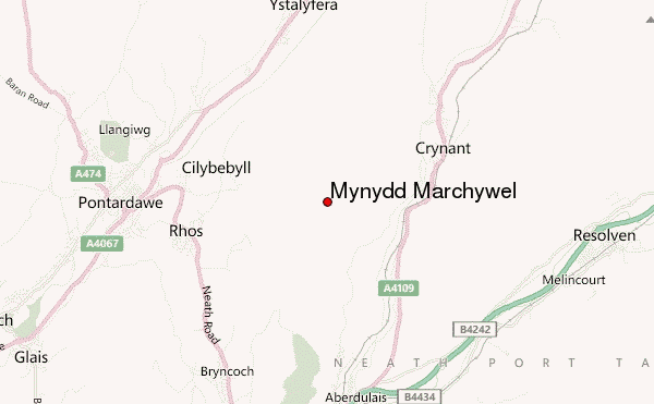
Use this relief map to navigate to mountain peaks in the area of Mynydd Marchywel.
10 other mountain peaks closest to Mynydd Marchywel:
 Mynydd Marchywel – Climbing, Hiking & Mountaineering information