 Foel Cwmcerwyn – Climbing, Hiking & Mountaineering information

Foel Cwmcerwyn Guide
- Elevation: 536
- Difficulty: Walk up
- Best months to climb: All year round. Best in winter following snow.
- Convenient center: -
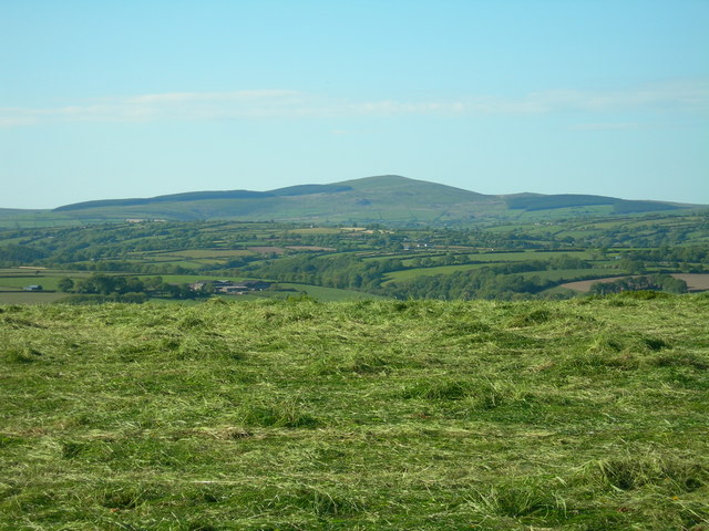
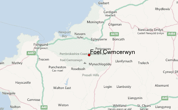
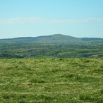
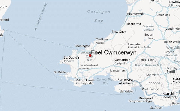
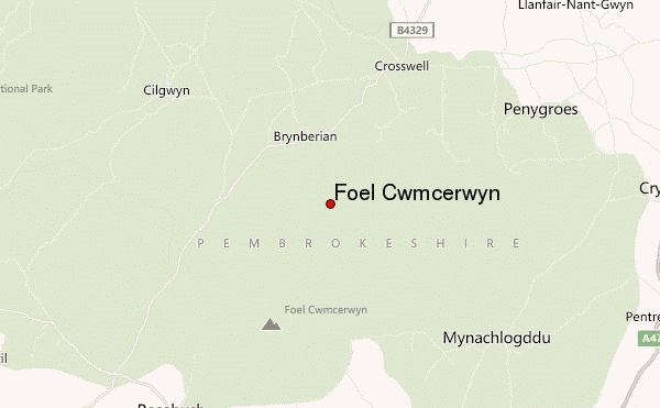
Foel Cwmcerwyn is the highest point of the Preseli Hills and of Pembrokeshire. It lies within the borders of the Pembrokeshire Coast National Park although it is 10 km from the sea. A path leads to the summit from the village of Rosebush in the south-west. A trig point and a number of cairns are dotted across the summit area, and there is a disused quarry on the hill's eastern slopes. The hills are dotted with prehistoric remains including evidence of Neolithic settlement. Bluestone from the hills at Carn Menyn, sometimes called Carn Meini, has for long been believed to have been used to build the inner circle of Stonehenge.
Foel Cwmcerwyn climbers NotesBe the first to submit your climbers note! Please submit any useful information about climbing Foel Cwmcerwyn that may be useful to other climbers. Consider things such as access and accommodation at the base of Foel Cwmcerwyn, as well as the logistics of climbing to the summit. |
| Select a
mountain summit from the menu |
||
|
Select a Mountain Summit
|
||
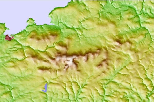
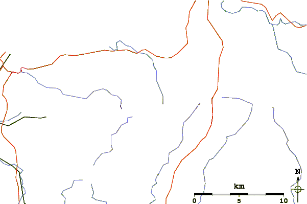
Use this relief map to navigate to mountain peaks in the area of Foel Cwmcerwyn.
10 other mountain peaks closest to Foel Cwmcerwyn:
| 1. | Mynydd Carningli (347 m) | 5.8 km |
| 2. | Brandy Hill, Wales (205 m) | 22.7 km |
| 3. | Rhossili Down (193 m) | 54.5 km |
| 4. | Mynydd y Betws (374 m) | 60.5 km |
| 5. | Cefn Bryn (186 m) | 60.5 km |
| 6. | Mynydd y Gwair (373 m) | 60.5 km |
| 7. | Garreg Lwyd (Black Mountain) (616 m) | 64.9 km |
| 8. | Foel Fraith (602 m) | 66.6 km |
| 9. | Garreg Las (635 m) | 68.1 km |
| 10. | Constitution Hill (131 m) | 68.5 km |