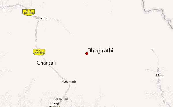
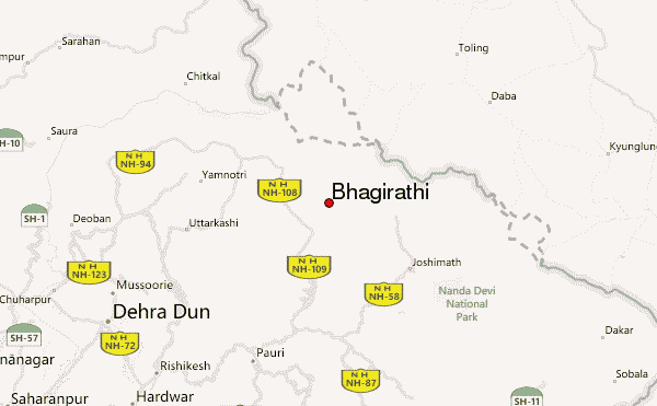
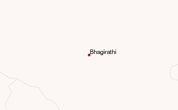
– Lat/Long: 30.85° N 79.15° E
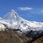
 Bhagirathi – Climbing, Hiking & Mountaineering information

Bhagirathi Guide
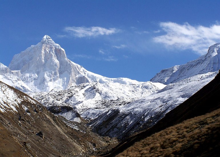
- Elevation: 6856
- Difficulty: Major Mountain Expedition
- Best months to climb: May, June, September
- Convenient center: Uttarkashi
Bhagirathi climbers NotesBe the first to submit your climbers note! Please submit any useful information about climbing Bhagirathi that may be useful to other climbers. Consider things such as access and accommodation at the base of Bhagirathi, as well as the logistics of climbing to the summit. |
| Select a
mountain summit from the menu |
||
|
Select a Mountain Summit
|
||
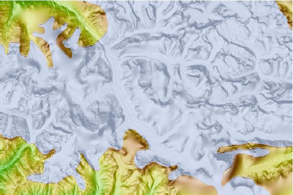
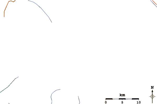
Use this relief map to navigate to mountain peaks in the area of Bhagirathi.
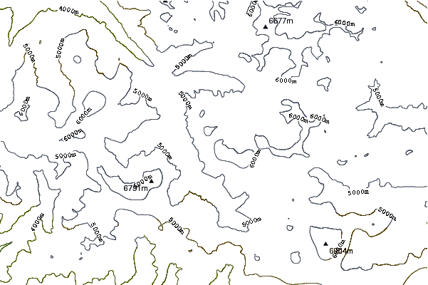
10 other mountain peaks closest to Bhagirathi:
| 1. | Satopanth (7075 m) | 5.9 km |
| 2. | Kedarnarth Dome (6831 m) | 8.3 km |
| 3. | Shivling (Garhwal Himalaya) (6543 m) | 8.6 km |
| 4. | Kedarnath (6940 m) | 10.9 km |
| 5. | Meru Peak (6660 m) | 11.5 km |
| 6. | Thalay Sagar (6904 m) | 14.6 km |
| 7. | Chaukhamba 1 (7138 m) | 18.2 km |
| 8. | Balakun (6471 m) | 20.7 km |
| 9. | Arwa Tower (6352 m) | 22.4 km |
| 10. | Avalanche Peak (India) (6196 m) | 23.9 km |