Acotango Guide
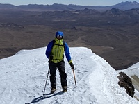
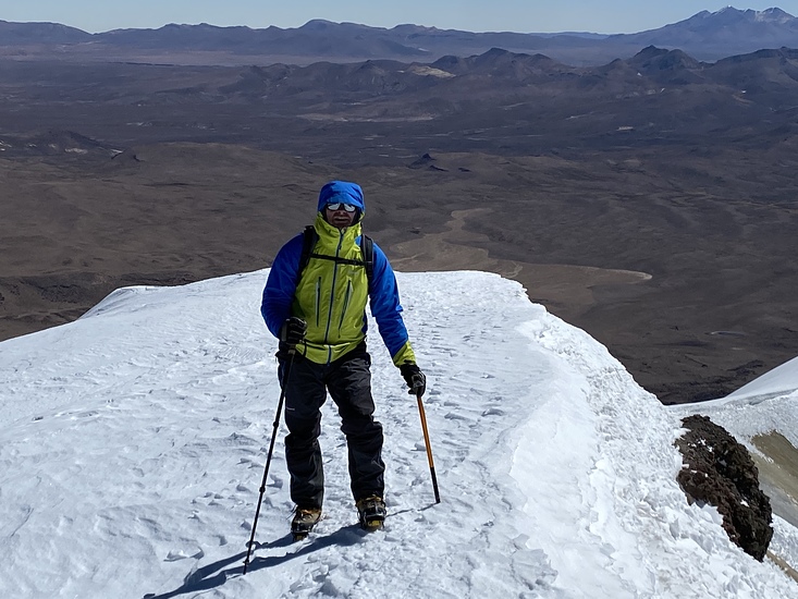
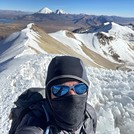
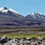
Acotango
Photo credit: Michel van Leeuwen
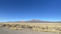
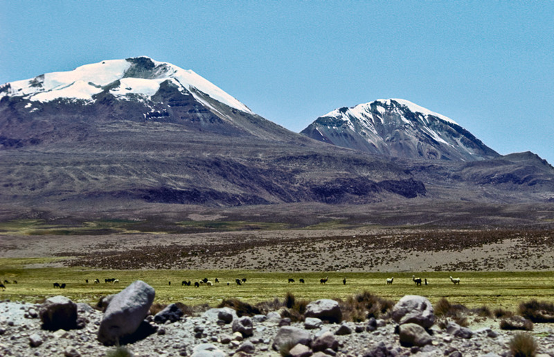
Acotango
Photo credit: Michel van Leeuwen
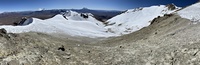
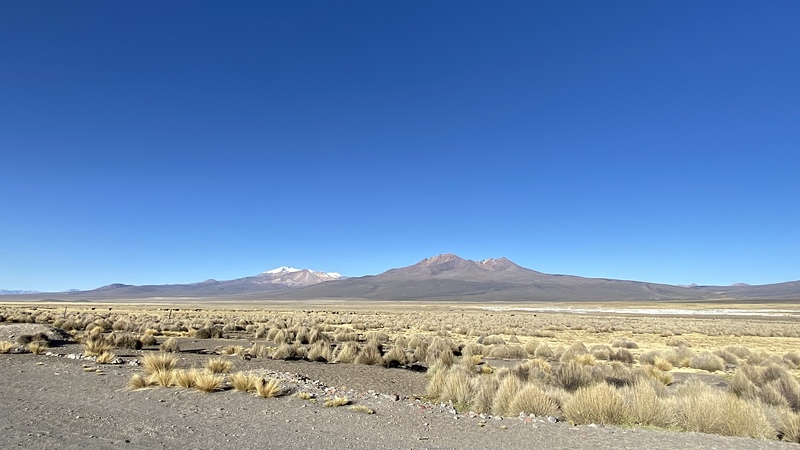
Acotango
Photo credit: Michel van Leeuwen
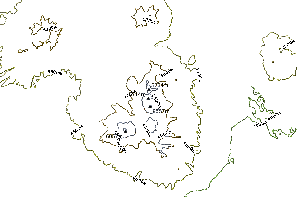
- Elevation: 6052
- Difficulty: Basic Snow and Ice Climb
- Best months to climb: August
- Convenient center: La Paz
Acotango climbers Notes
Alexander von Ungern from BOLIVIA writes:
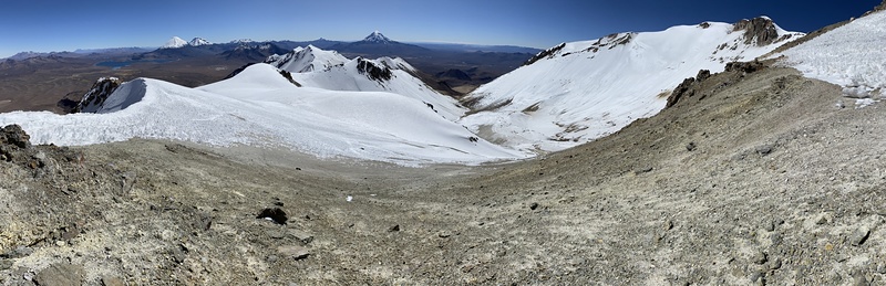
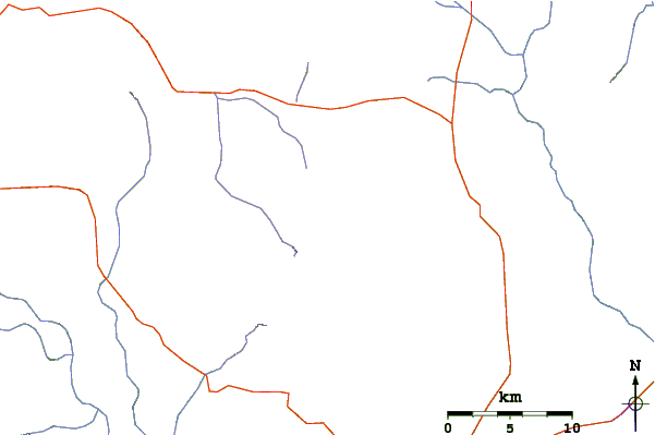
We usually climb Acotango volcano from Sajama village, where we spend the night. It is a 1h30 drive, getting us up to 5400-5600m altitude, along the road from the sulfur mine, where we then start walking along the northern ridge of the crater.
2019-04-12 |
Click here to submit your own climbing note for Acotango
|
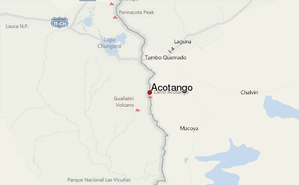
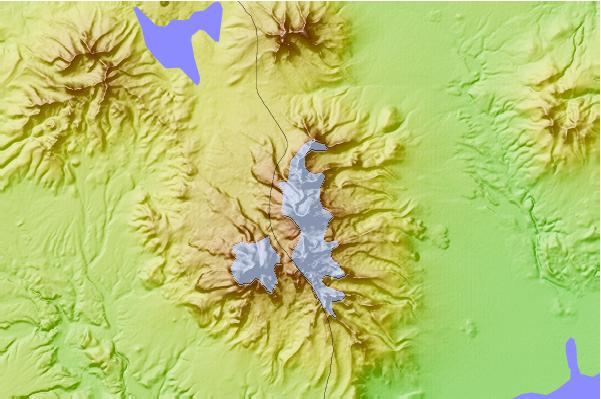
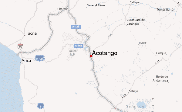
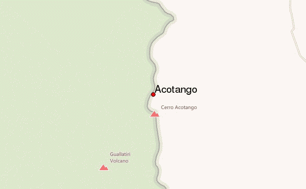
Select Acotango Location Map Detail:
Use this relief map to navigate to mountain peaks in the area of Acotango.
10 other mountain peaks closest to Acotango:
 Acotango – Climbing, Hiking & Mountaineering information


