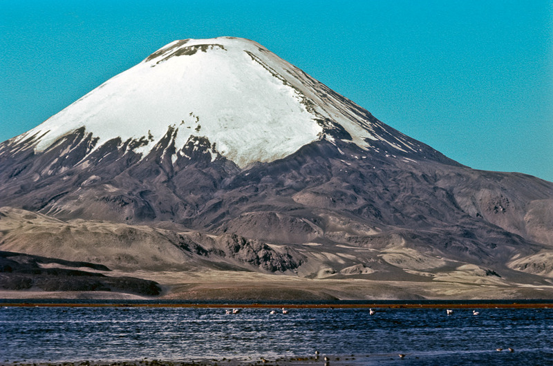
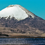
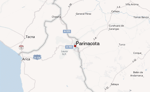
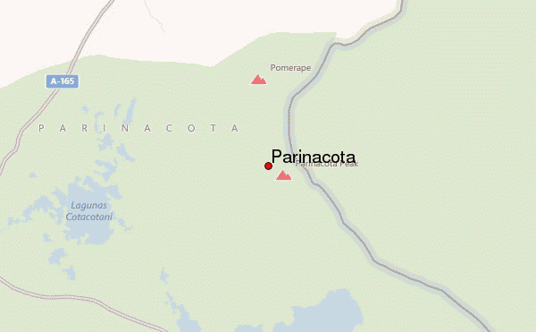
Subí el Volcán Parinacota por la ladera oeste, accediendo desde las Lagunas de Cotacotani, el 29 de julio de 2025.
La ruta es muy similar a la del Pico de Orizaba: en el tramo inicial predomina la roca suelta y arena volcánica, y más arriba la ascensión continúa sobre hielo y nieve dura.
En condiciones normales no es necesario encordarse, ya que no suelen presentarse grietas en esta ruta. Sin embargo, el hielo es extremadamente duro, especialmente en la madrugada, porque el sol no incide en la ladera hasta aproximadamente las 11:00 a.m., por lo que crampones y piolet son imprescindibles.
Es una ruta larga y físicamente exigente. En mi ascenso no encontré penitentes, pero pueden aparecer, y cuando están presentes dificultan considerablemente el avance, aumentando el desgaste y el tiempo de ascenso.
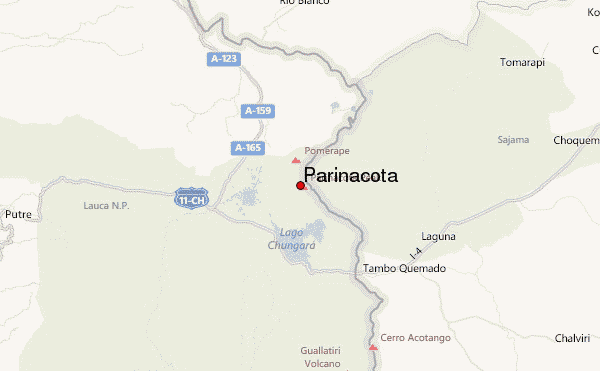
Se trata de una ruta poco transitada y de acceso complicado. Para llegar al punto de inicio es necesario contratar un chofer o transporte local, ya que no hay acceso directo sencillo.
(translated
I climbed Parinacota Volcano via the western slope, accessing it from the Cotacotani Lakes, on July 29, 2025. The route is very similar to that of Pico de Orizaba: the initial section is predominantly loose rock and volcanic sand, and higher up the ascent continues on ice and hard snow.
Under normal conditions, it is not necessary to rope up, as crevasses are not common on this route. However, the ice is extremely hard, especially in the early morning, because the sun does not reach the slope until approximately 11:00 a.m., making crampons and an ice axe essential.
It is a long and physically demanding route. I did not encounter penitentes on my ascent, but they can appear, and when present, they considerably hinder progress, increasing exertion and the time required for the climb.
It is a rarely traveled route with difficult access. To reach the starting point, it is necessary to hire a driver or local transport, as there is no easy direct access.
)
 Parinacota – Climbing, Hiking & Mountaineering information