– Lat/Long: 34.80° N 108.00° W
 Zuni-Bandera volcanic field – Climbing, Hiking & Mountaineering information

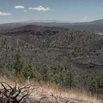
Zuni-Bandera volcanic field Guide
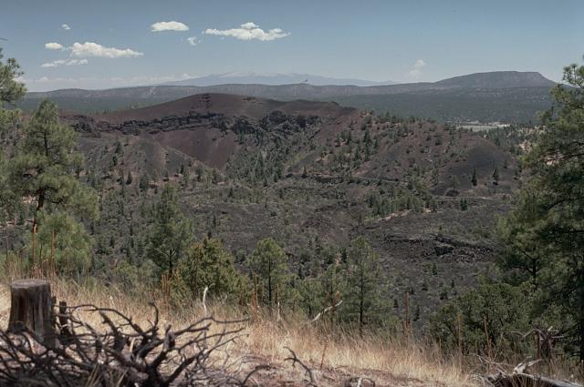
- Elevation: 2550
- Difficulty: -
- Best months to climb: -
- Convenient center: -
Zuni-Bandera volcanic field climbers NotesBe the first to submit your climbers note! Please submit any useful information about climbing Zuni-Bandera volcanic field that may be useful to other climbers. Consider things such as access and accommodation at the base of Zuni-Bandera volcanic field, as well as the logistics of climbing to the summit. |
| Select a
mountain summit from the menu |
||
|
Select a Mountain Summit
|
||

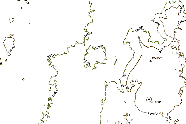
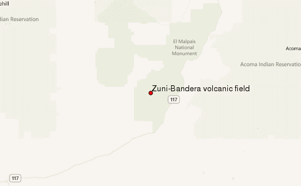
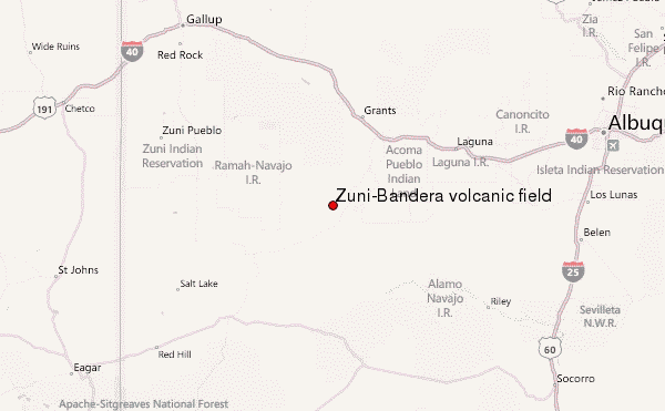
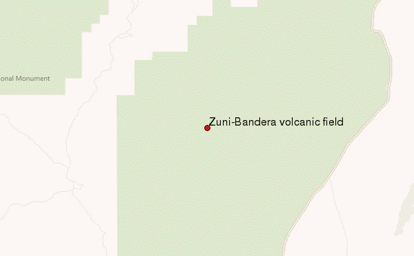
Use this relief map to navigate to mountain peaks in the area of Zuni-Bandera volcanic field.
10 other mountain peaks closest to Zuni-Bandera volcanic field:
| 1. | Zuni-bandera (2550 m) | 0.0 km |
| 2. | Mount Taylor (3449 m) | 60.5 km |
| 3. | Lucero volcanic field (1573 m) | 62.0 km |
| 4. | Red Hill volcanic field (1897 m) | 80.4 km |
| 5. | Ladron Peak (2807 m) | 93.1 km |
| 6. | Cat Hills volcanic field (1750 m) | 107.0 km |
| 7. | South Baldy (New Mexico) (3287 m) | 116.9 km |
| 8. | Eagle Peak (New Mexico) (2983 m) | 135.7 km |
| 9. | Fajada Butte (2019 m) | 135.9 km |
| 10. | West Blue Mountain (New Mexico) (3150 m) | 136.3 km |